Last Updated: 12th Mar 2026
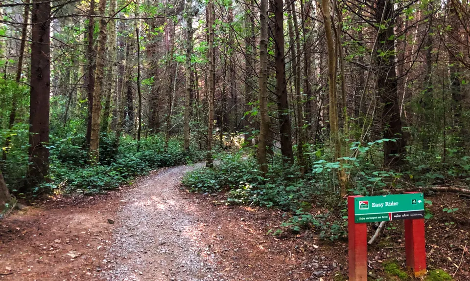
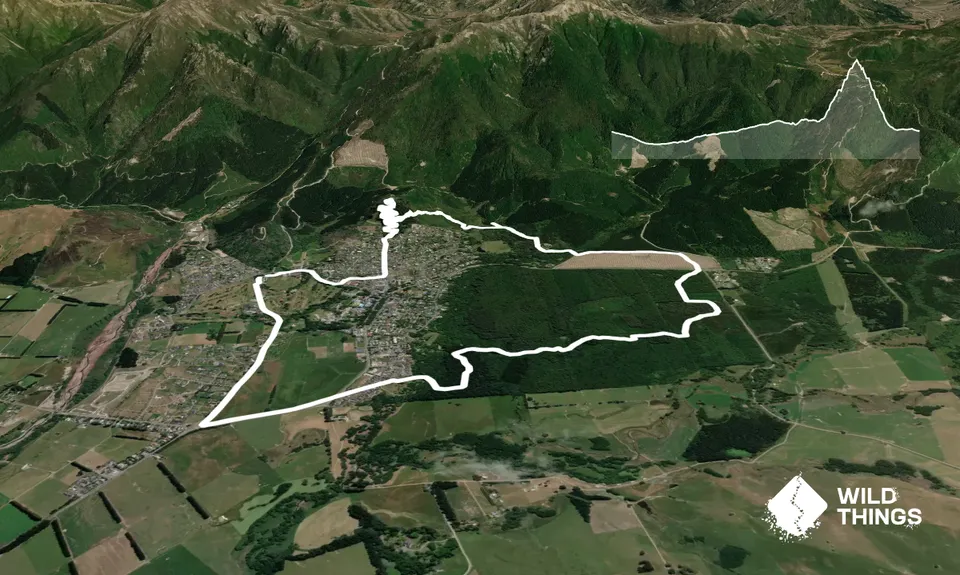
Easy Rider & Conical Hill
Last Updated: 12th Mar 2026
Open
Grunt Factor: 12 ?
Gnarl Factor: 12 ?
11.4km
245m
245m
550m


Trail Map
This Topo layer only covers NSW/ACT.
Switch to another map layer when viewing outside this area.
Switch to another map layer when viewing outside this area.


