Last Updated: 29th Sep 2025
Mt Chisholm
Last Updated: 29th Sep 2025
Open
Grunt Factor: 23 ?
Gnarl Factor: 43 ?
7.9km
475m
475m
1518m
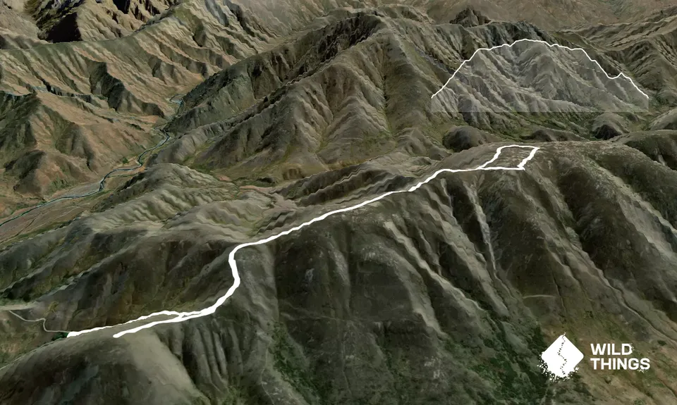
Trail Map
This Topo layer only covers NSW/ACT.
Switch to another map layer when viewing outside this area.
Switch to another map layer when viewing outside this area.