Last Updated: 12th Mar 2026
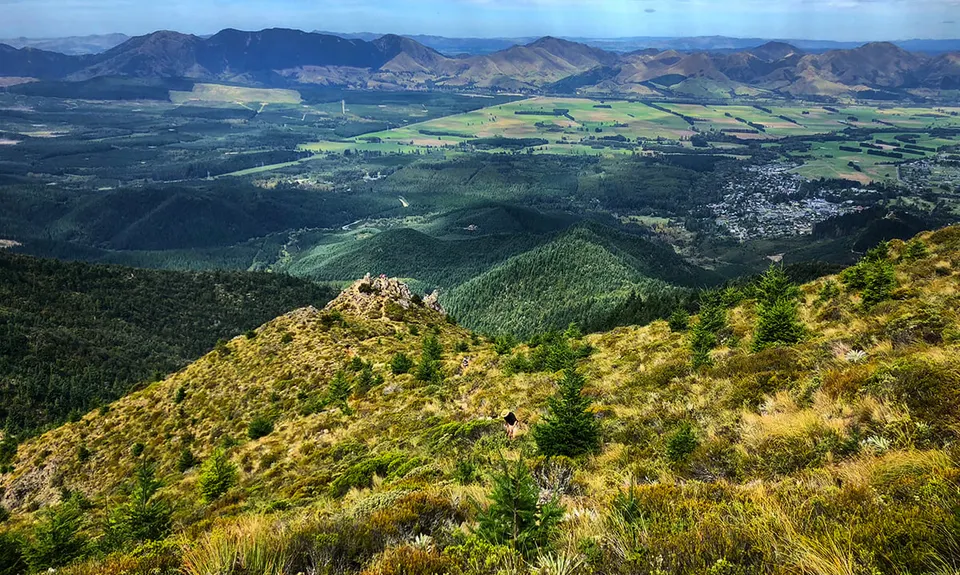
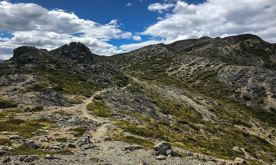
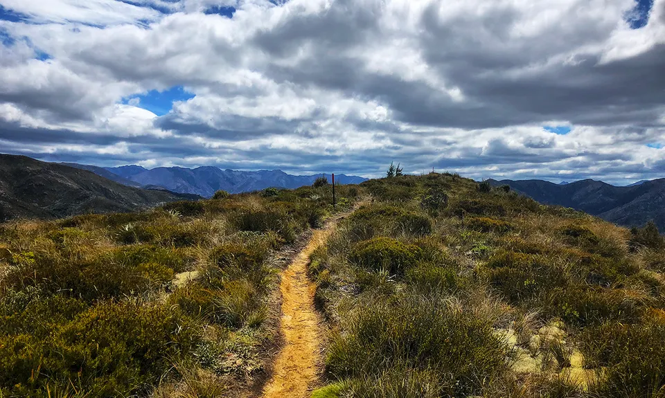
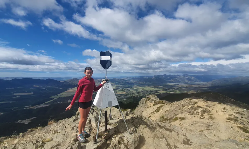
Mt Isobel
Last Updated: 12th Mar 2026
Grunt Factor: 35 ?
Gnarl Factor: 57 ?
17.0km
1210m
1210m
1304m
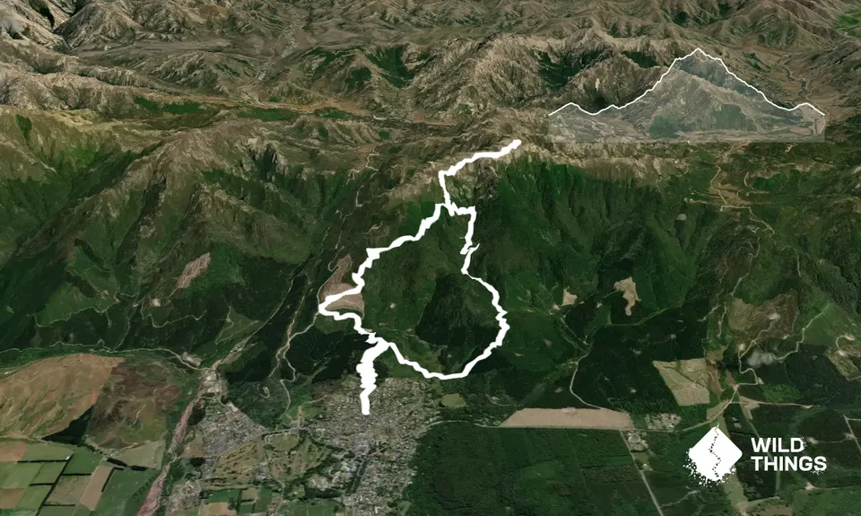
Trail Map
This Topo layer only covers NSW/ACT.
Switch to another map layer when viewing outside this area.
Switch to another map layer when viewing outside this area.


