Last Updated: 27th Dec 2023
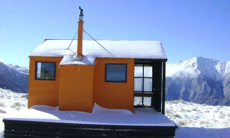
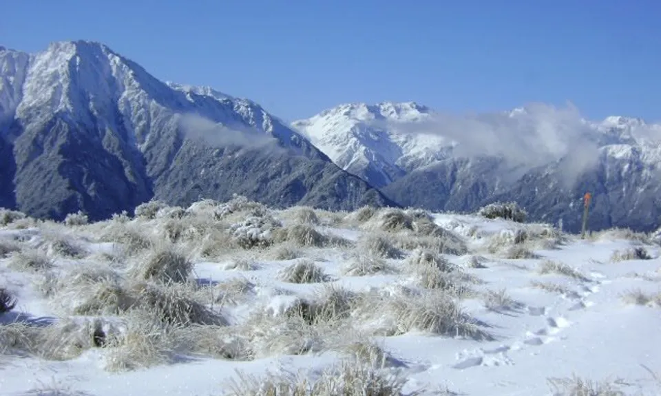
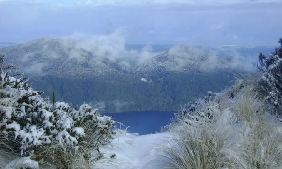
Mt Brown Bonanza
Last Updated: 27th Dec 2023
Open
Grunt Factor: 50 ?
Gnarl Factor: 75 ?
14.1km
1640m
1640m
1117m
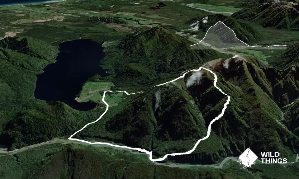
Trail Map
This Topo layer only covers NSW/ACT.
Switch to another map layer when viewing outside this area.
Switch to another map layer when viewing outside this area.


