Last Updated: 21st Sep 2023
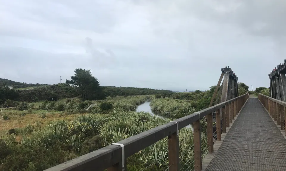
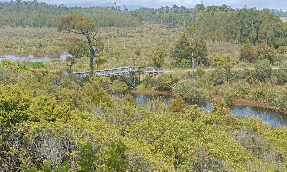
Mananui Tramline
Last Updated: 21st Sep 2023
Open
Grunt Factor: 16 ?
Gnarl Factor: 10 ?
18.0km
120m
120m
29m
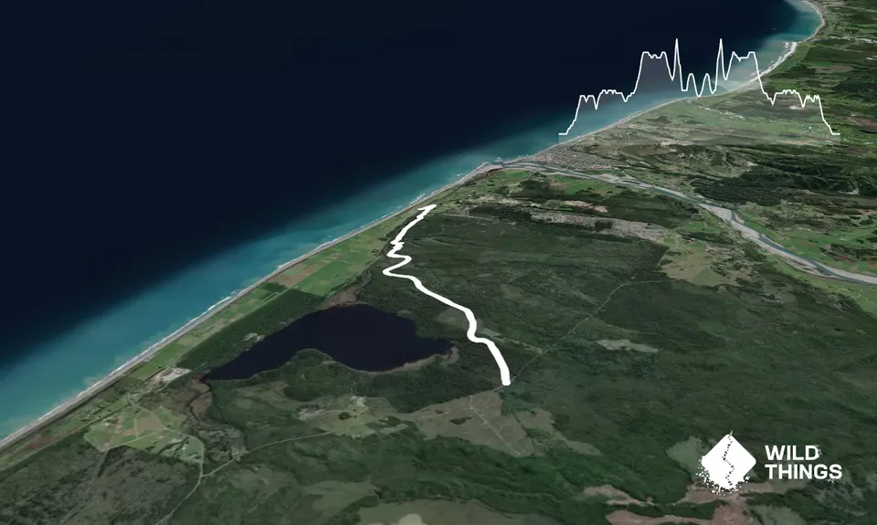
Trail Map
This Topo layer only covers NSW/ACT.
Switch to another map layer when viewing outside this area.
Switch to another map layer when viewing outside this area.


