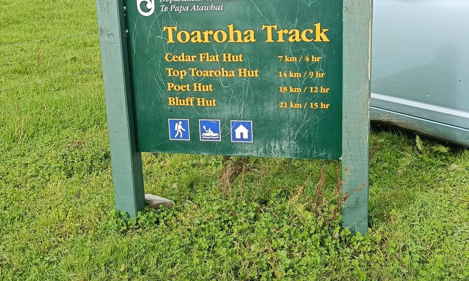
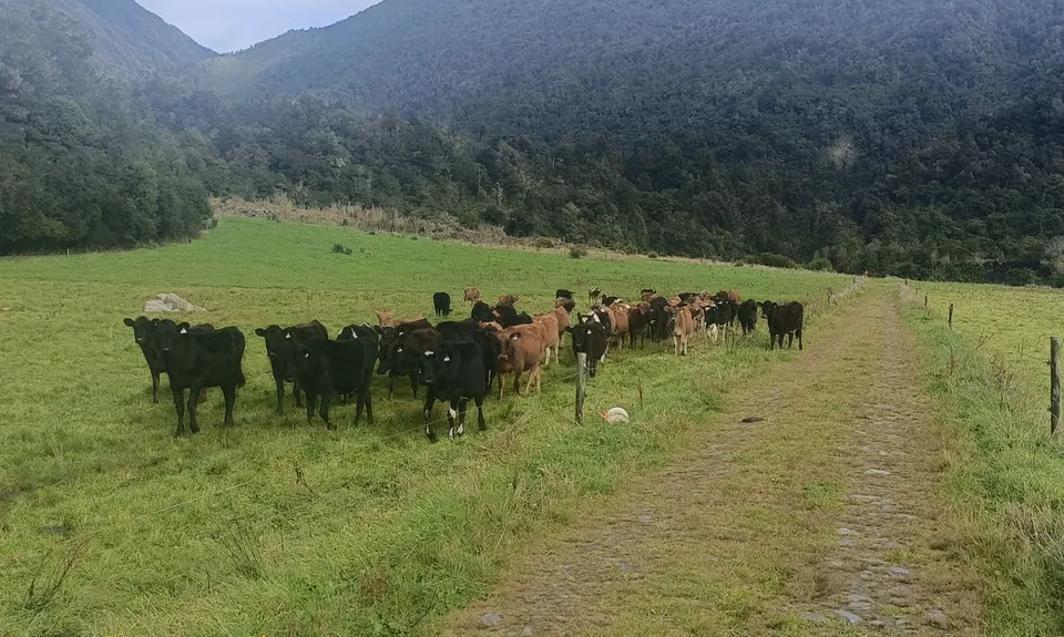
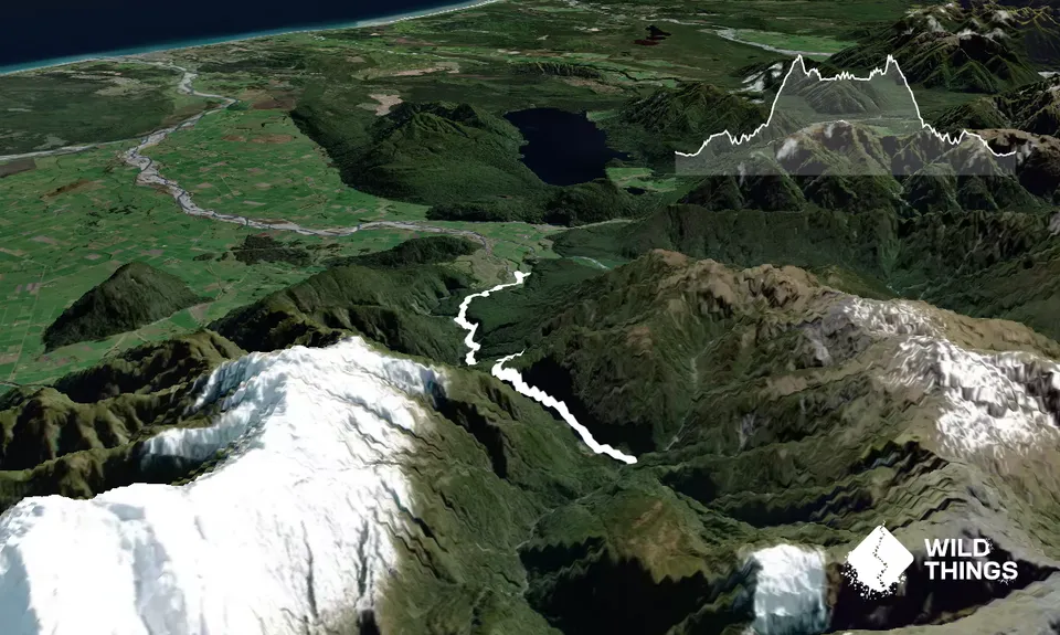
Once parked up follow the markers up unto the Toaroha Valley. It can be muddy at times across a mix of old farmland and typical West Coast front country until you get further in and pick up the old pack track from days long past that heads into the forest. Look for the standard DOC orange markers that lead onto what was once upon a time an old logging tramline track- bits of rail, sleepers and old historic equipment will be spotted.
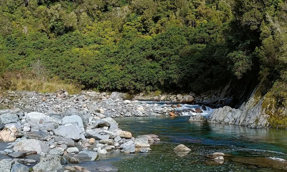
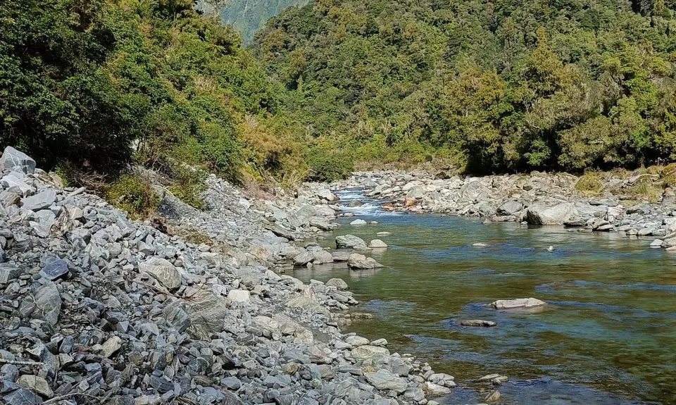
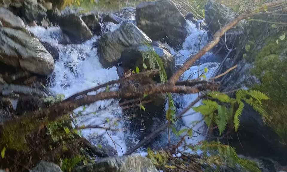
Carry on, ignoring the signpost to the Flood Route - you really shouldn't be running up here if its flooding, unless of course you simply want to keep dry feet (hint, that won't happen later!). Take the river section instead, its a fun wee bash around rocks, small sections of wading and under cliffs. Follow the trail into the bush at the un-named creek downstream a short way before MacMillan Creek as it climbs steadily across a bush terrace and over to MacMillan Creek itself.
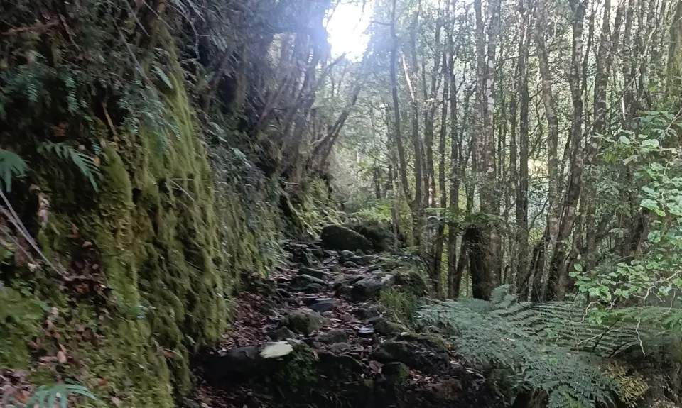
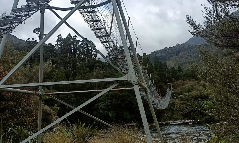
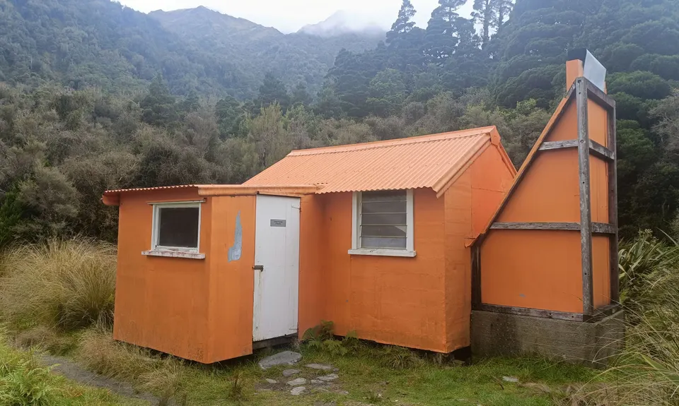
Here the trail heads uphill up to a low saddle before steadily traversing down into the valley floor over 2-3km in order to avoid the Toaroha Canyon. Classic West Coast forest travel, with a few creeks to hop across and great views from time to time into the gorge. Then you are out into the valley proper. Head on to the swingbridge where you soon hit Hut Central. Well worth a stay overnight if you've 'fastpacked' with enough gear. If you want to check out the hotpools it's a short dash up to Wren Creek on a trail that's pretty obvious from the hut. The pools can be a bit hit and miss (certainly not a patch on the Copland Hot Pools Splash'n'Dash route) - but if you dig out a decent one with the shovel provided you can have a wee dip before retracing your steps the way you came.
Take care on the downhills, the West Coast forest trails are often slippery and can eat many an ankle or knee ligament