Last Updated: 24th Oct 2024
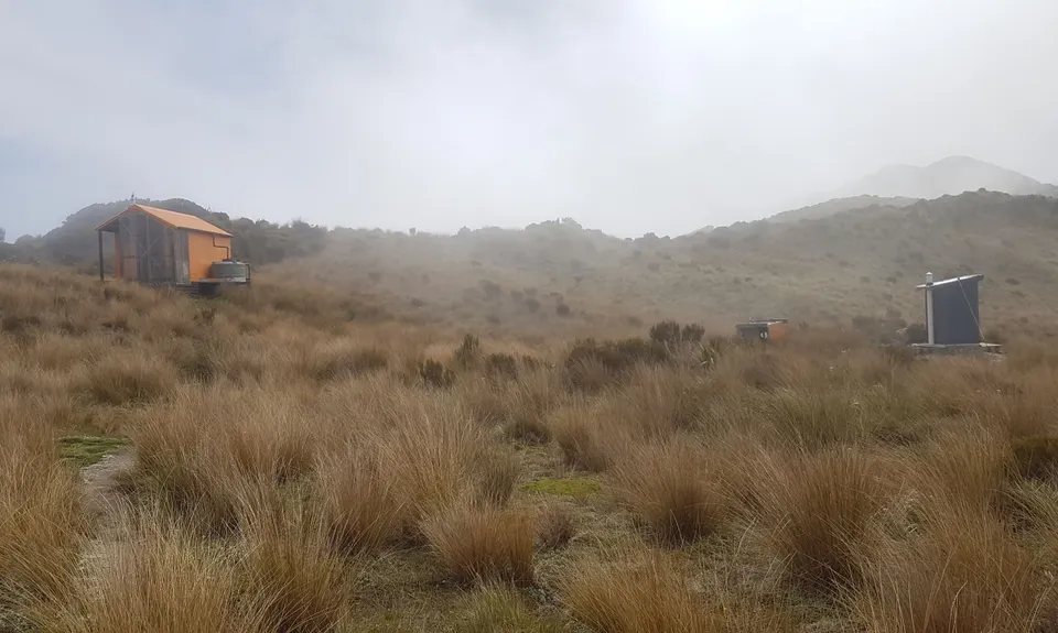
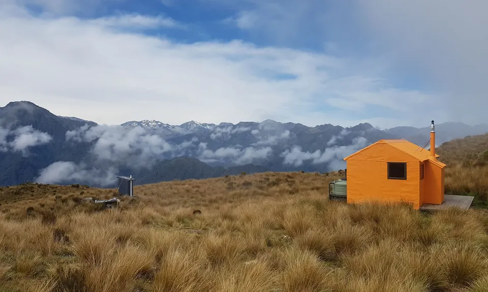
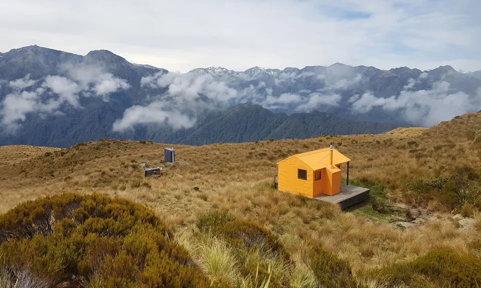
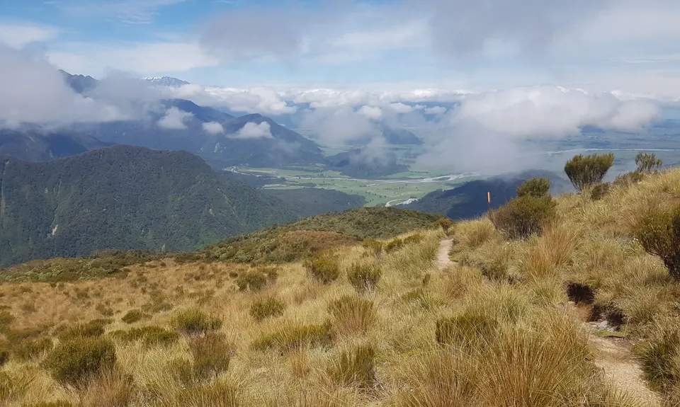
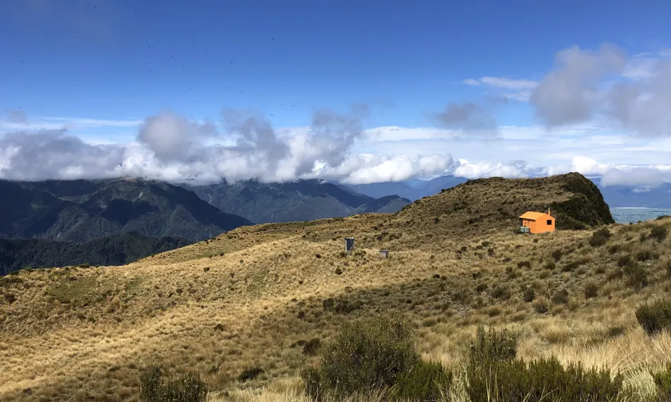
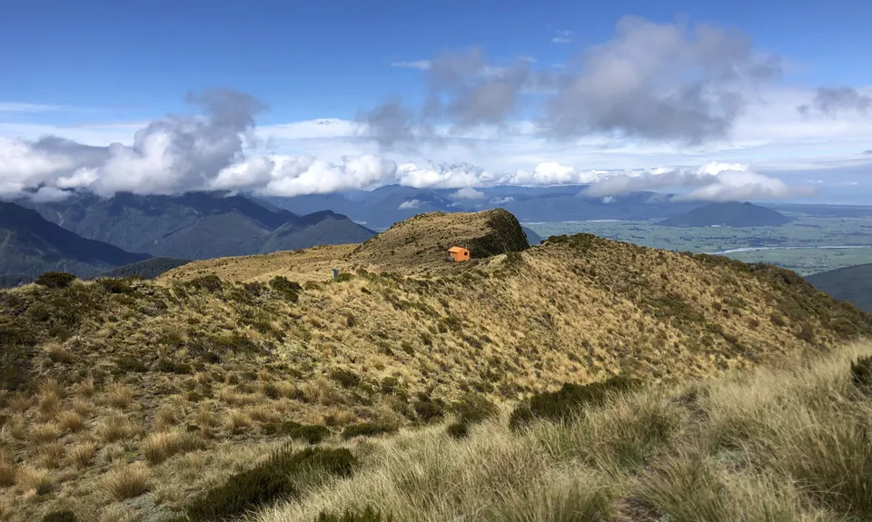
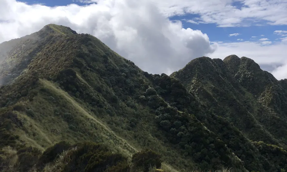
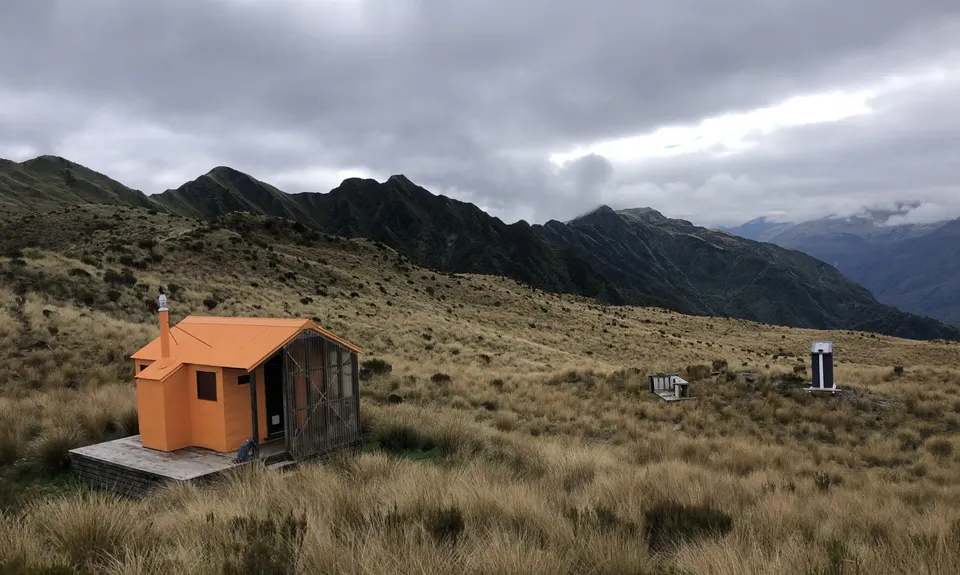
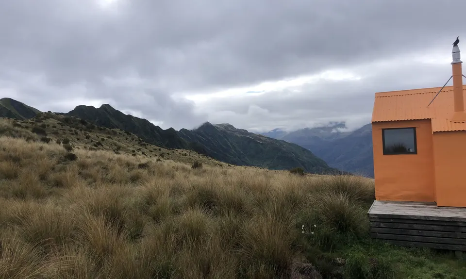
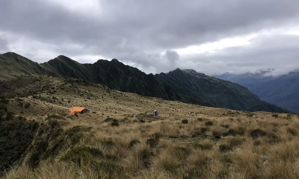
Mt Brown Hut
Last Updated: 24th Oct 2024
Open
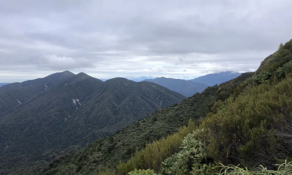
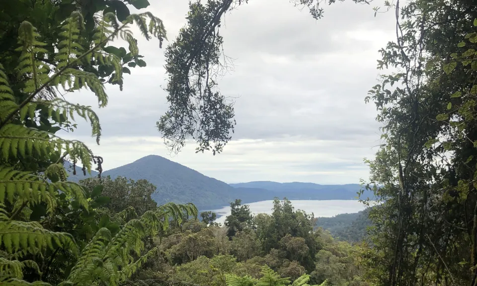
Grunt Factor: 37 ?
Gnarl Factor: 91 ?
8.6km
980m
980m
1109m
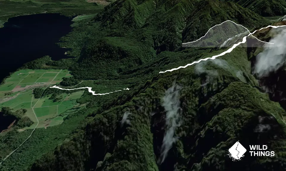
Trail Map
This Topo layer only covers NSW/ACT.
Switch to another map layer when viewing outside this area.
Switch to another map layer when viewing outside this area.


