Last Updated: 27th May 2024
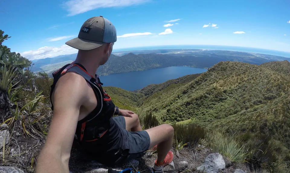
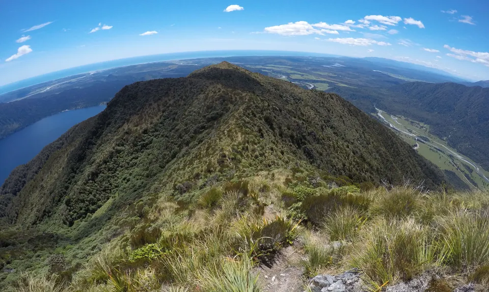
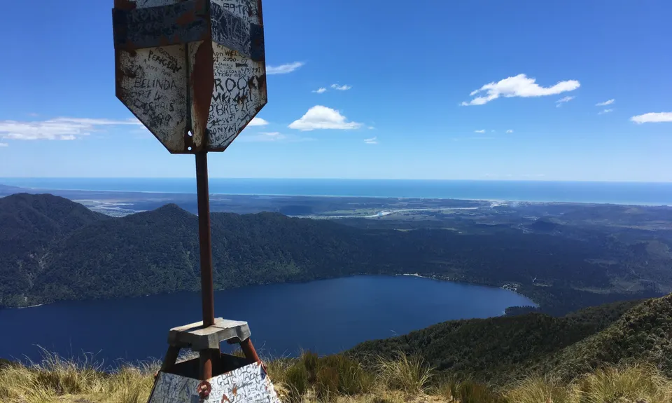
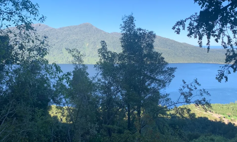
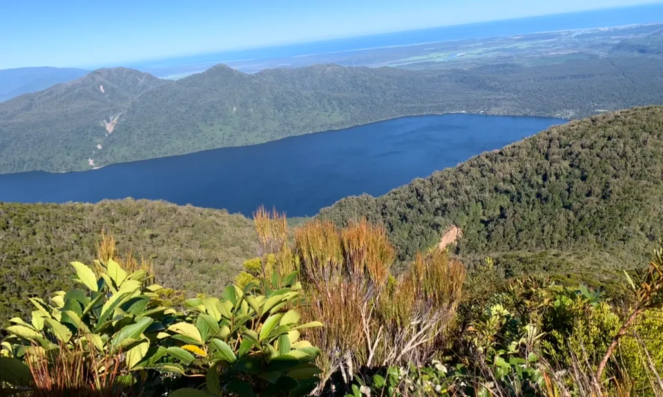
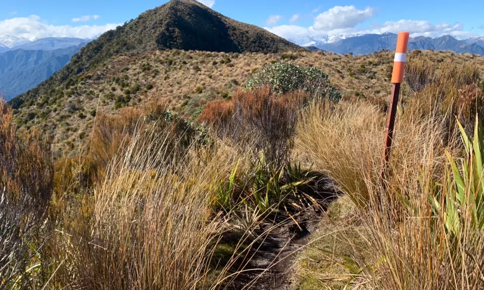
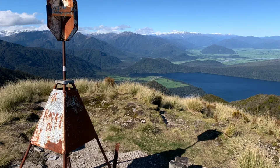
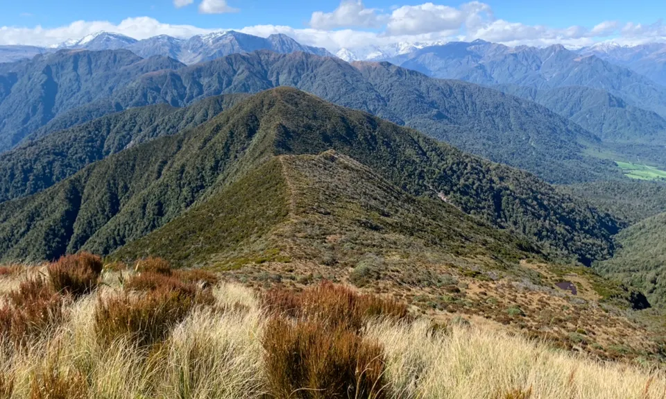
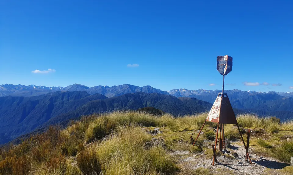
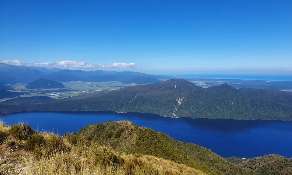
Mt Tuhua
Last Updated: 27th May 2024
Open
Grunt Factor: 29 ?
Gnarl Factor: 88 ?
8.5km
1100m
1100m
1125m

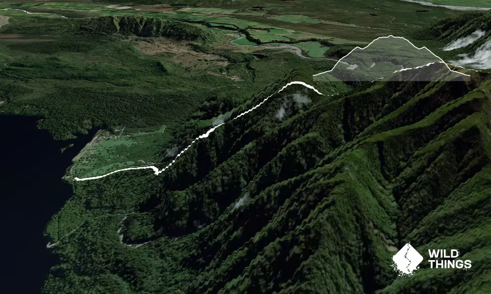
Trail Map
This Topo layer only covers NSW/ACT.
Switch to another map layer when viewing outside this area.
Switch to another map layer when viewing outside this area.


