Last Updated: 9th Dec 2023
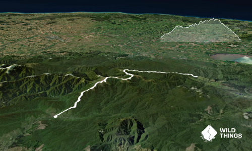
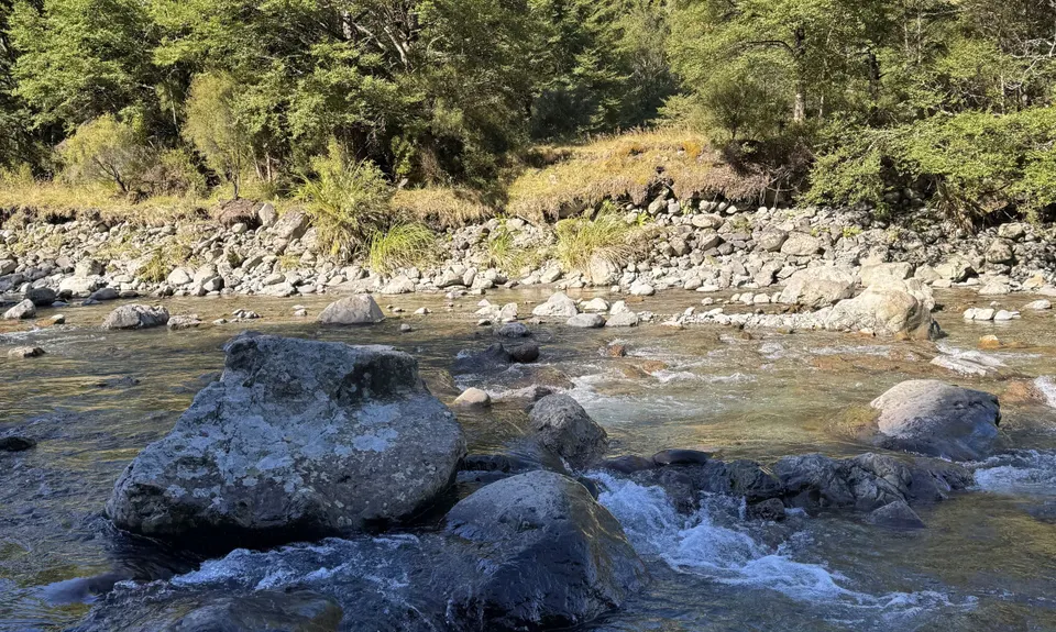
Kaitoke Omega Loop
Last Updated: 9th Dec 2023
Open
Grunt Factor: 59 ?
Gnarl Factor: 68 ?
33.0km
1500m
1500m
1100m
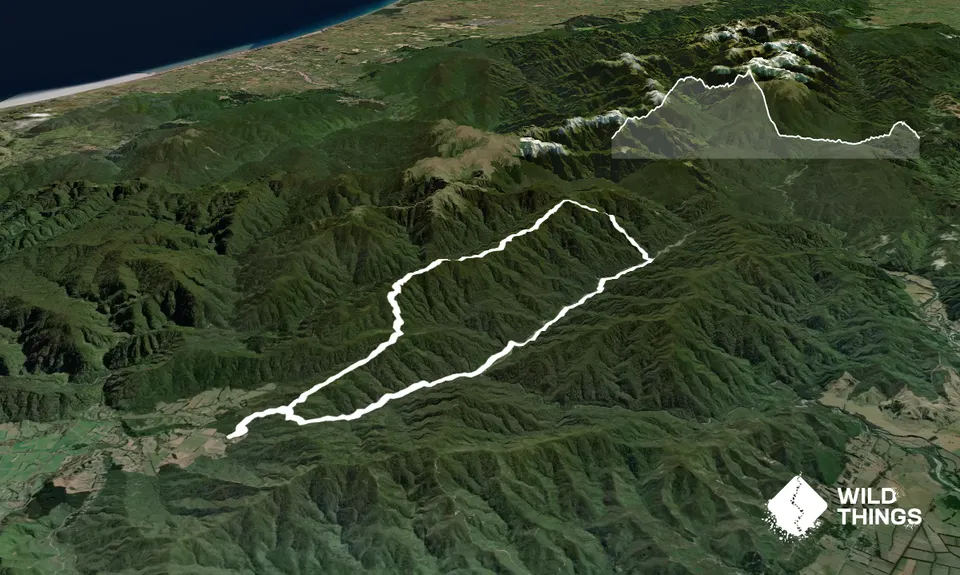
Trail Map
This Topo layer only covers NSW/ACT.
Switch to another map layer when viewing outside this area.
Switch to another map layer when viewing outside this area.