Last Updated: 16th Aug 2025
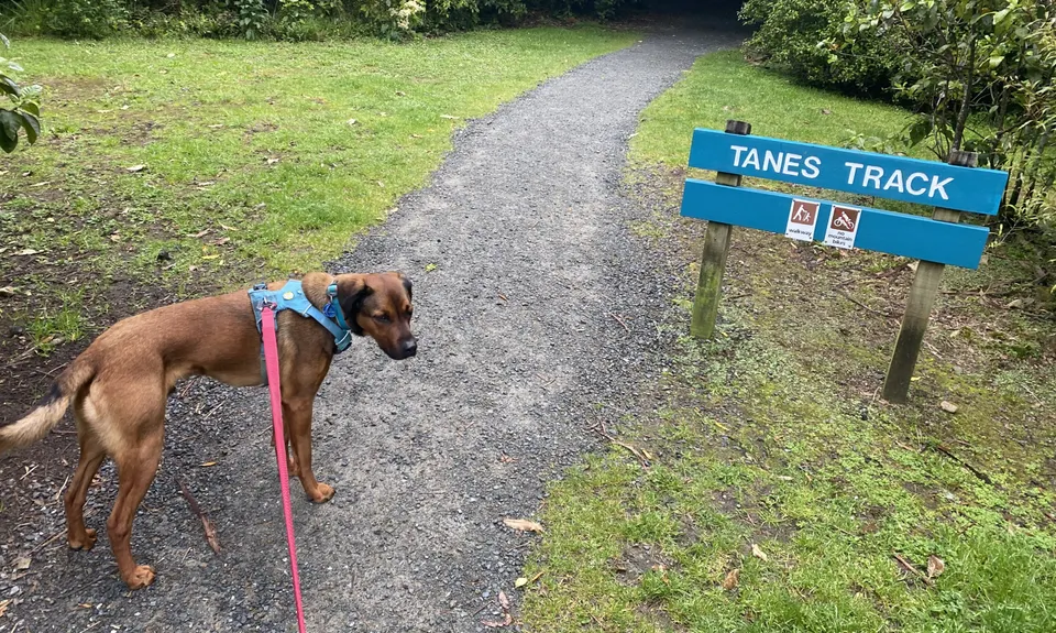
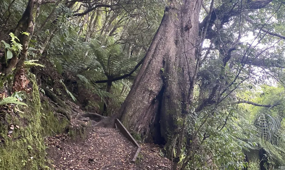
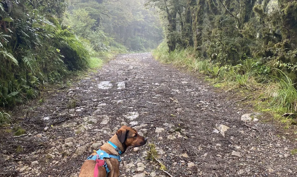
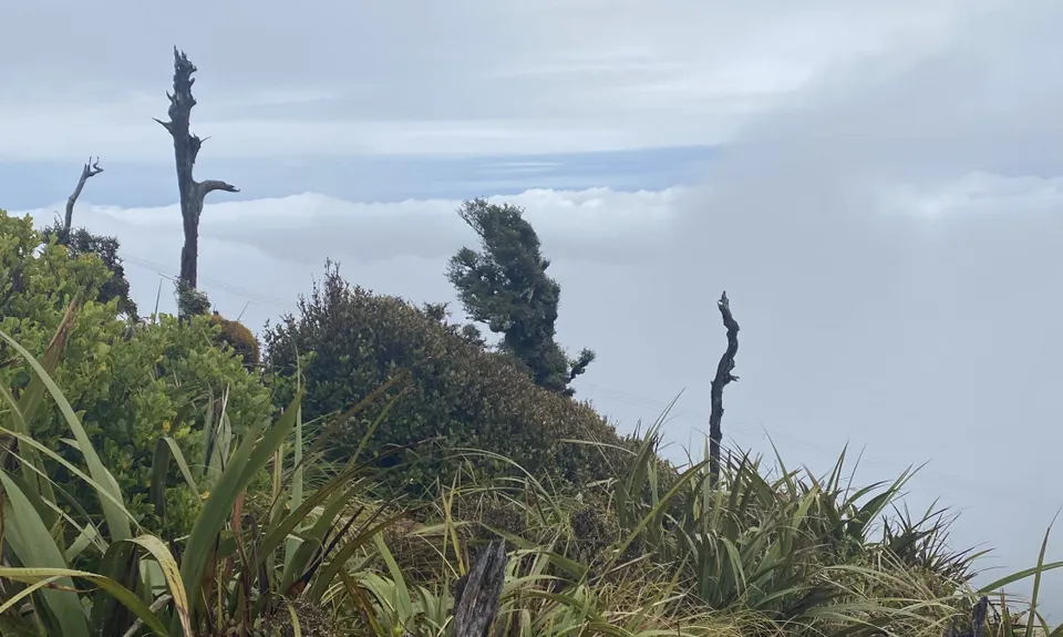
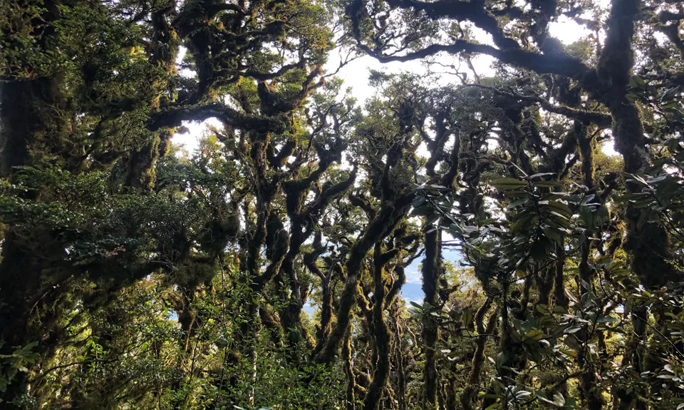
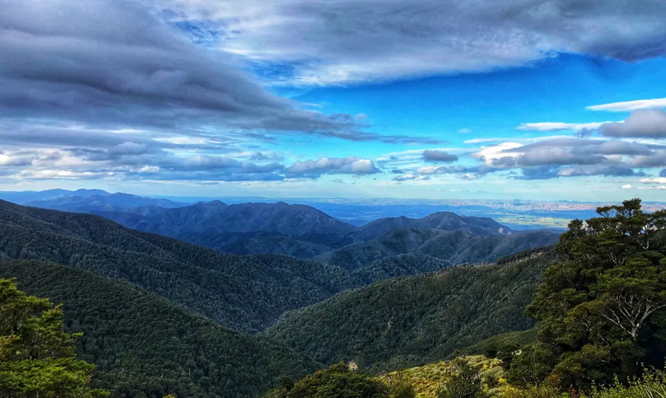
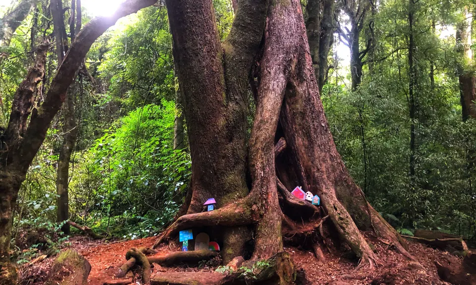
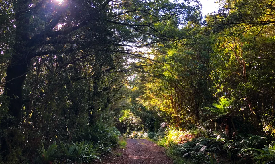
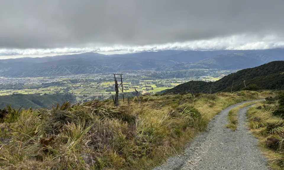
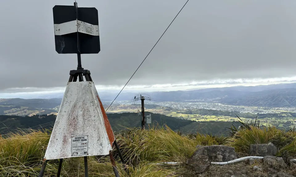
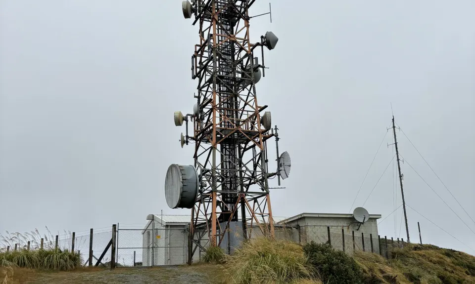
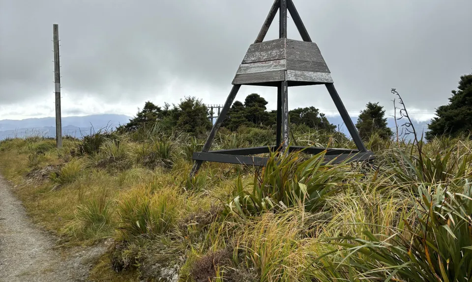
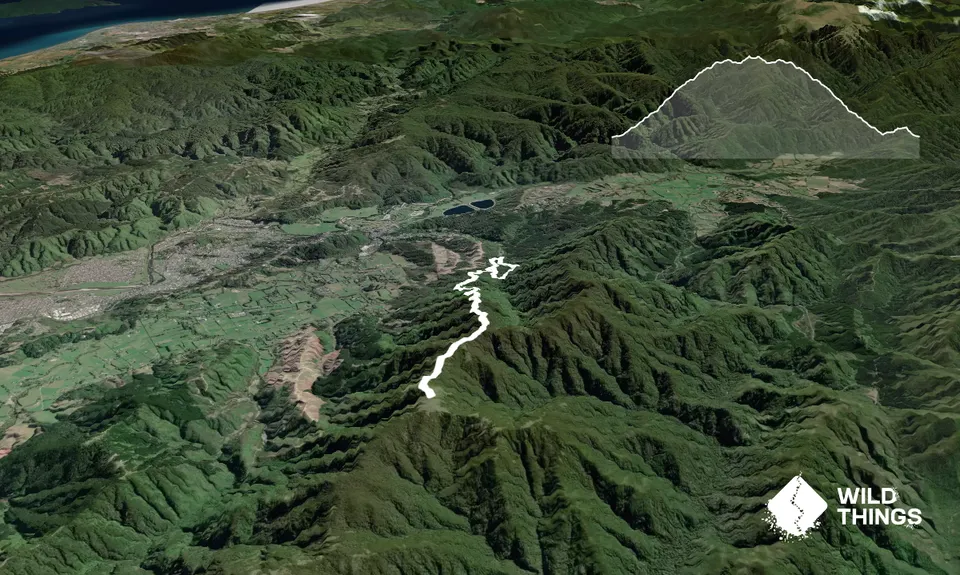
Mt Climie & Tane's Track
Last Updated: 16th Aug 2025
Grunt Factor: 19 ?
Gnarl Factor: 13 ?
14.0km
770m
770m
860m
.jpg)
.jpg)
.jpg)
.jpg)
.jpg)
.jpg)
Trail Map
This Topo layer only covers NSW/ACT.
Switch to another map layer when viewing outside this area.
Switch to another map layer when viewing outside this area.