Last Updated: 27th Dec 2024
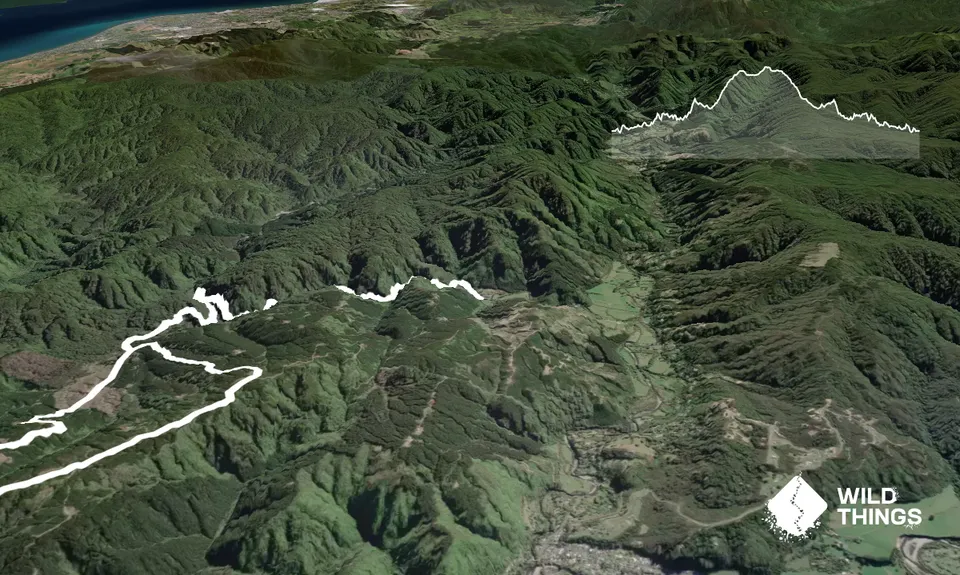
Karapoti Challenge
Last Updated: 27th Dec 2024
Grunt Factor: 28 ?
Gnarl Factor: 13 ?
18.7km
480m
480m
465m
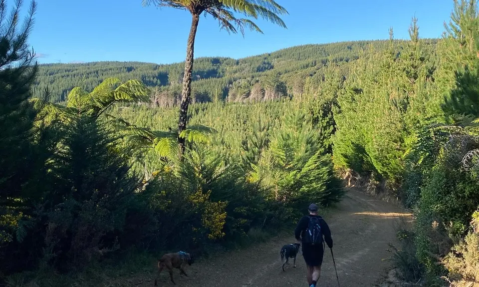
.jpg)
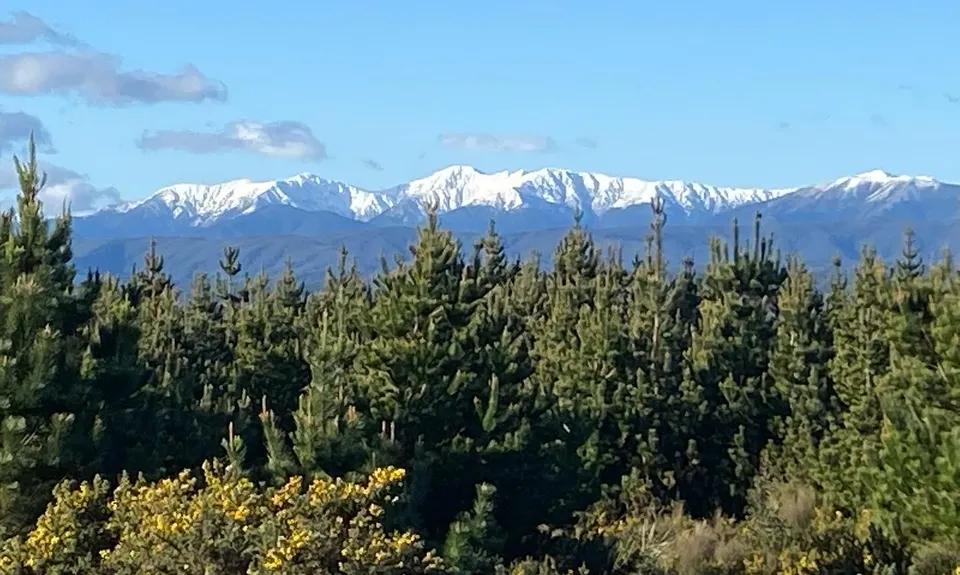
.jpg)
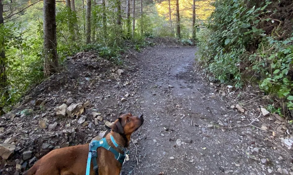
.jpg)

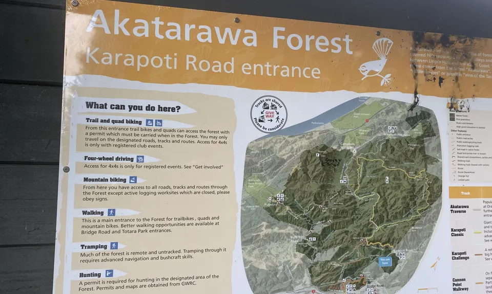
Trail Map
This Topo layer only covers NSW/ACT.
Switch to another map layer when viewing outside this area.
Switch to another map layer when viewing outside this area.