Last Updated: 28th May 2026
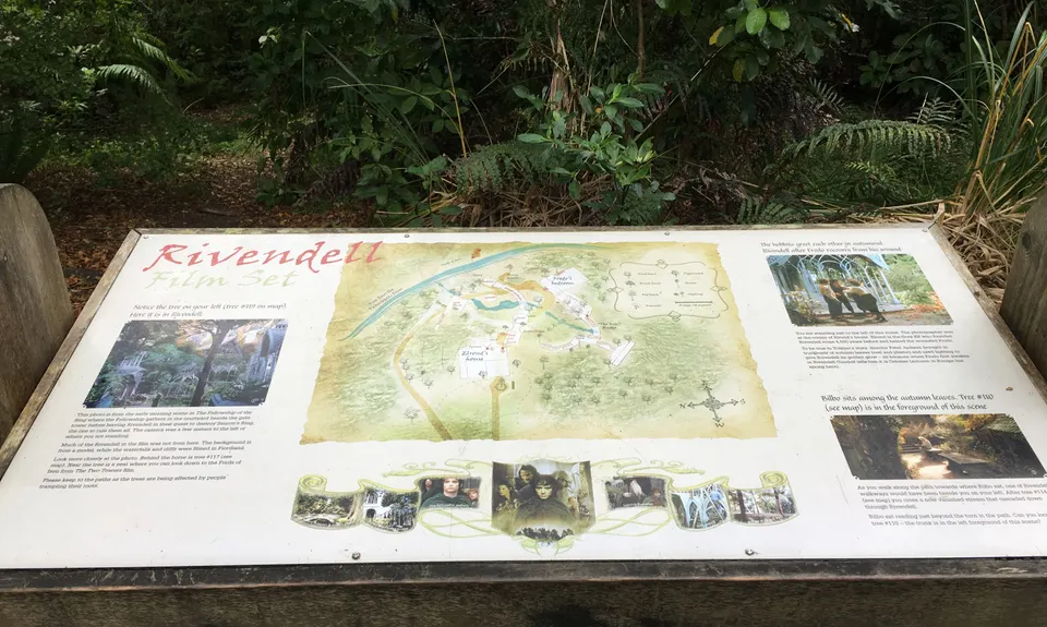
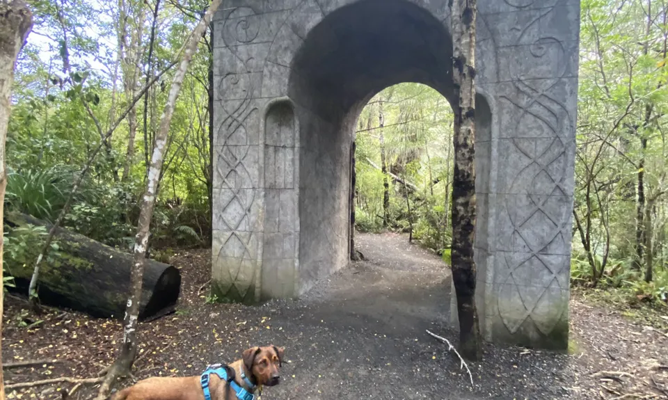
To Rivendell!
Last Updated: 28th May 2026
Open
Grunt Factor: 22 ?
Gnarl Factor: 35 ?
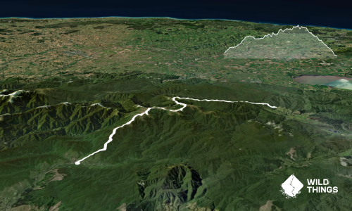
13.5km
700m
700m
480m
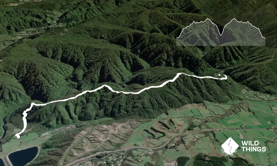
Trail Map
This Topo layer only covers NSW/ACT.
Switch to another map layer when viewing outside this area.
Switch to another map layer when viewing outside this area.