Last Updated: 9th Feb 2025
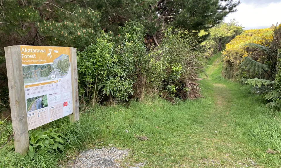
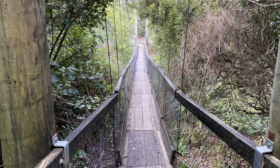
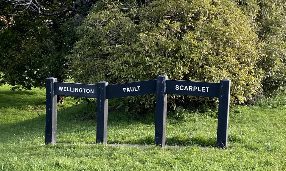
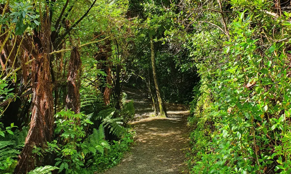
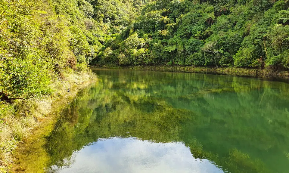
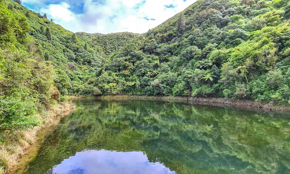
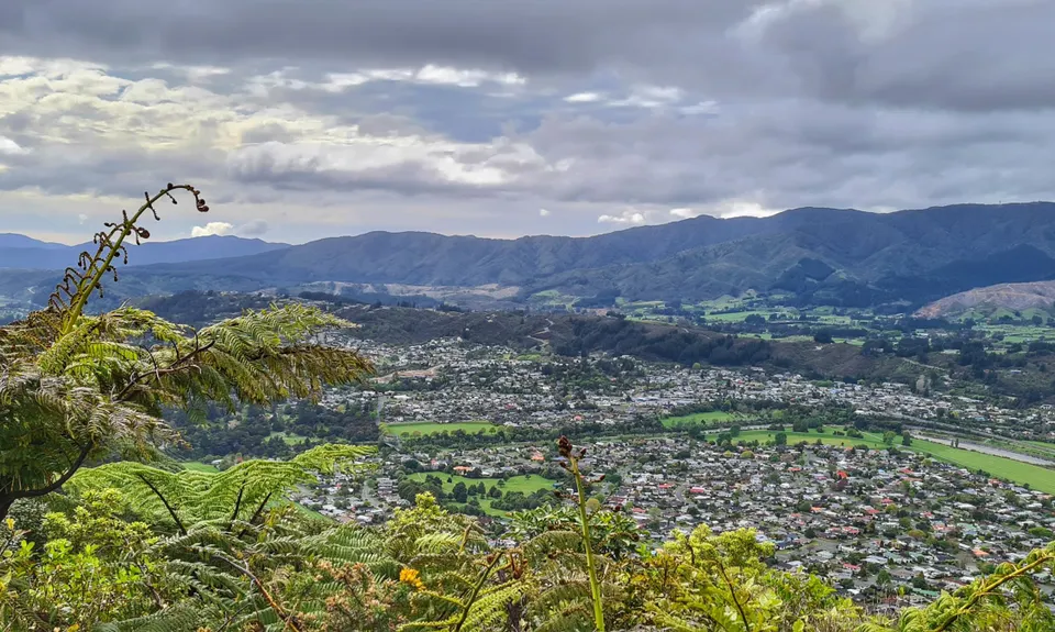
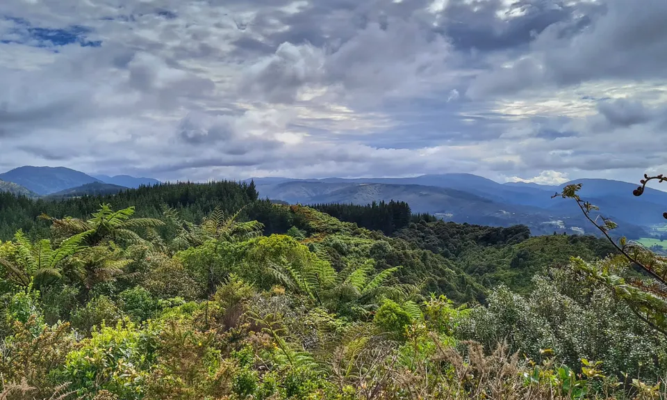
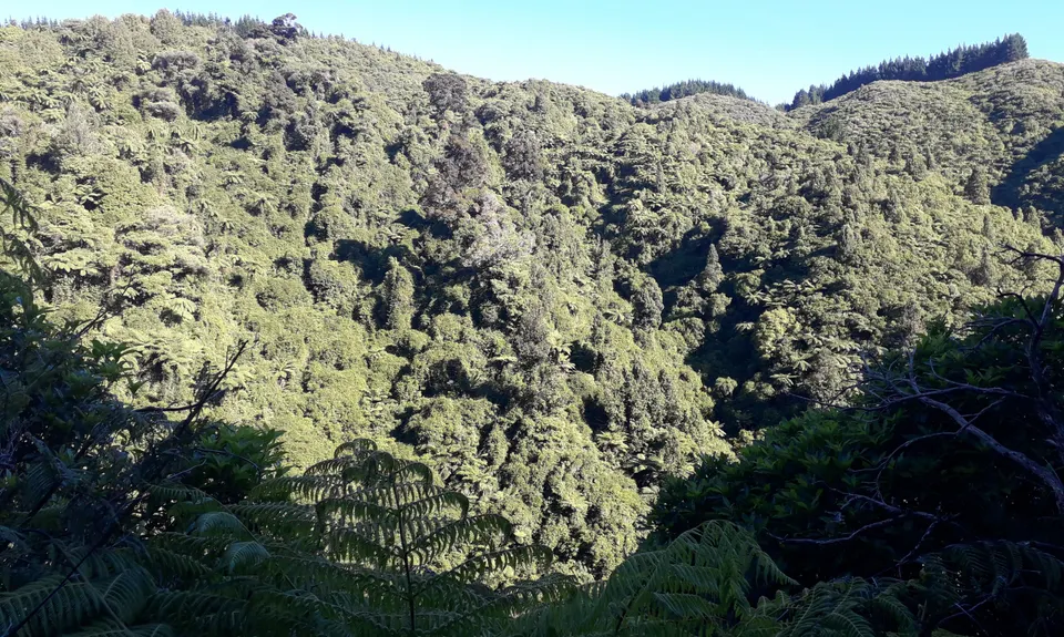
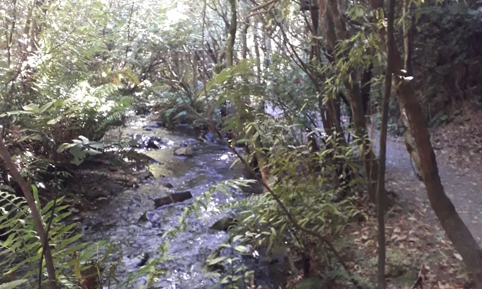
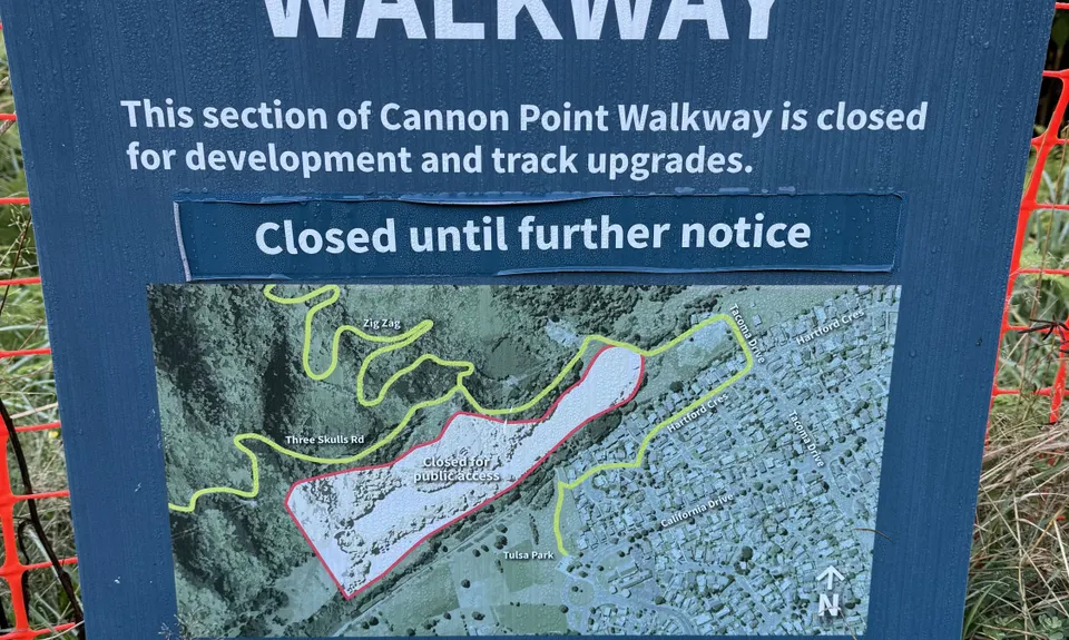
Birchville Dam Loop
Last Updated: 9th Feb 2025
Grunt Factor: 10 ?
Gnarl Factor: 19 ?
7.5km
310m
310m
337m
.jpg)
.jpg)
.jpg)
.jpg)
.jpg)
.jpg)


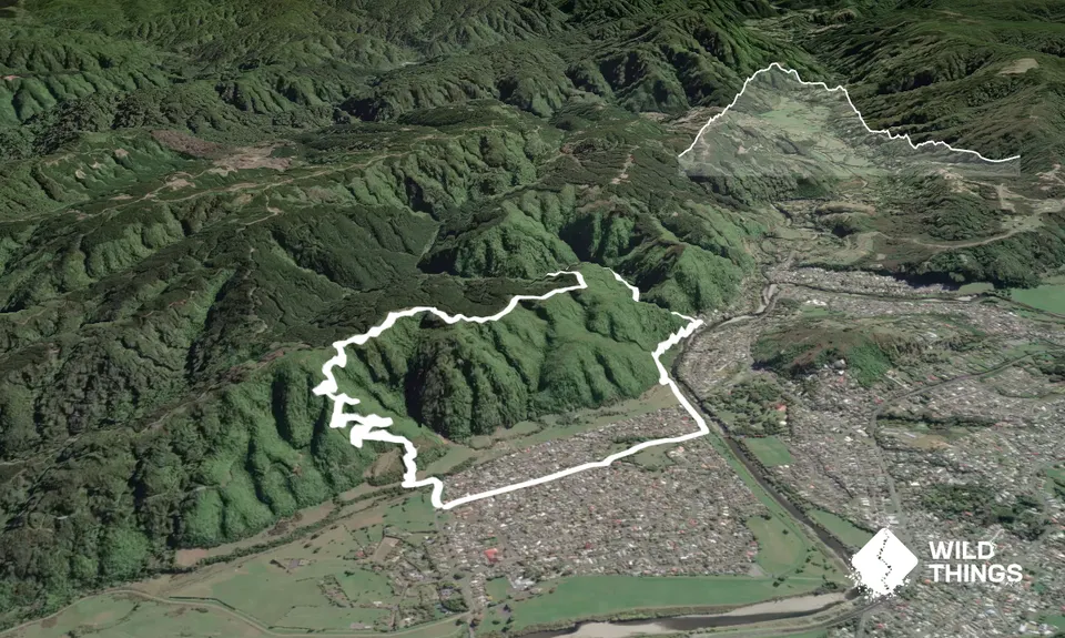
Trail Map
This Topo layer only covers NSW/ACT.
Switch to another map layer when viewing outside this area.
Switch to another map layer when viewing outside this area.