Last Updated: 31st Dec 2024
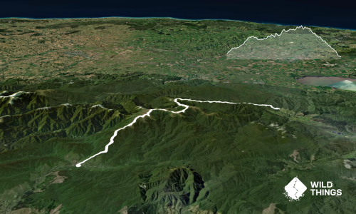
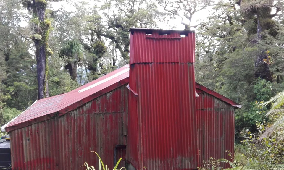
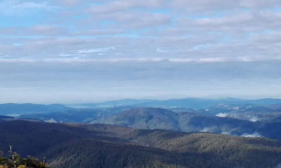
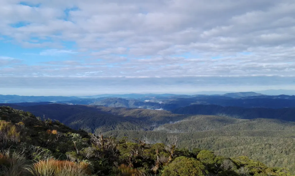
Renata Ridge - Kaitoke
Last Updated: 31st Dec 2024
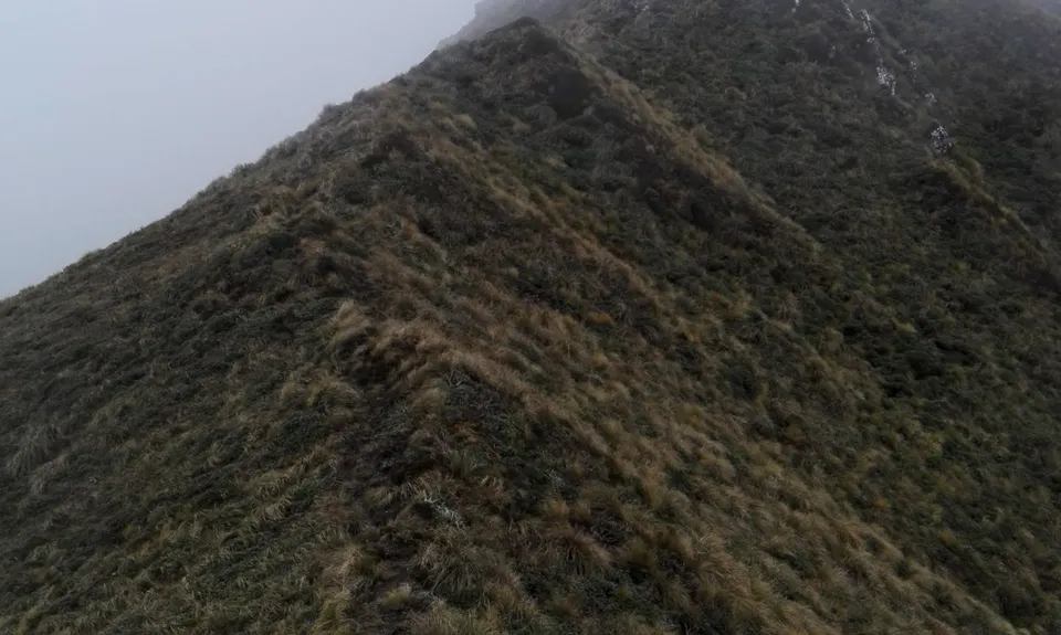
Grunt Factor: 85 ?
Gnarl Factor: 46 ?
44.5km
2630m
2830m
1332m
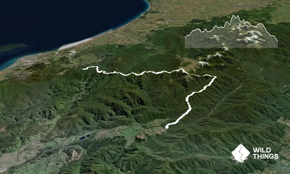
Trail Map
This Topo layer only covers NSW/ACT.
Switch to another map layer when viewing outside this area.
Switch to another map layer when viewing outside this area.