Last Updated: 6th Sep 2025
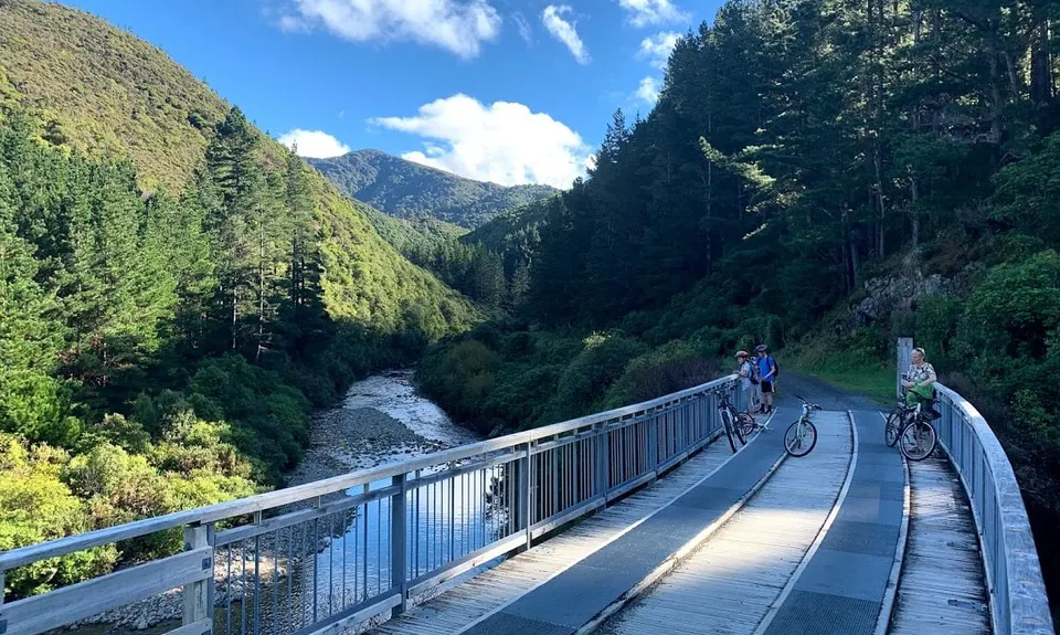
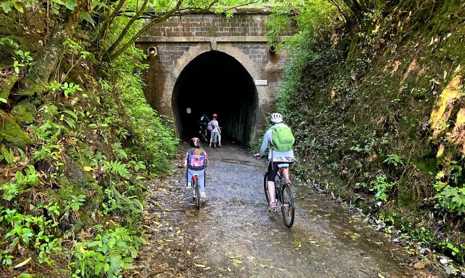
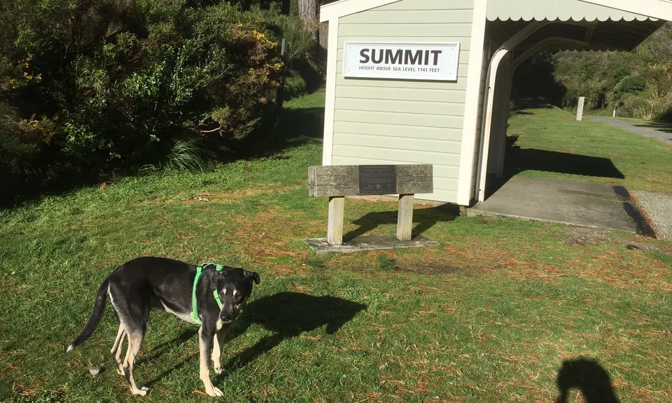
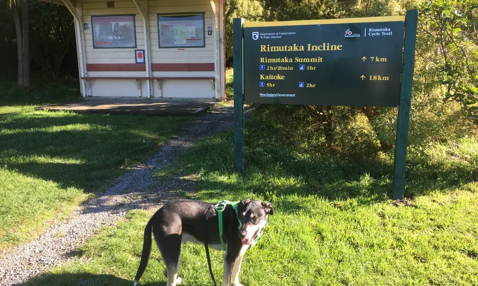
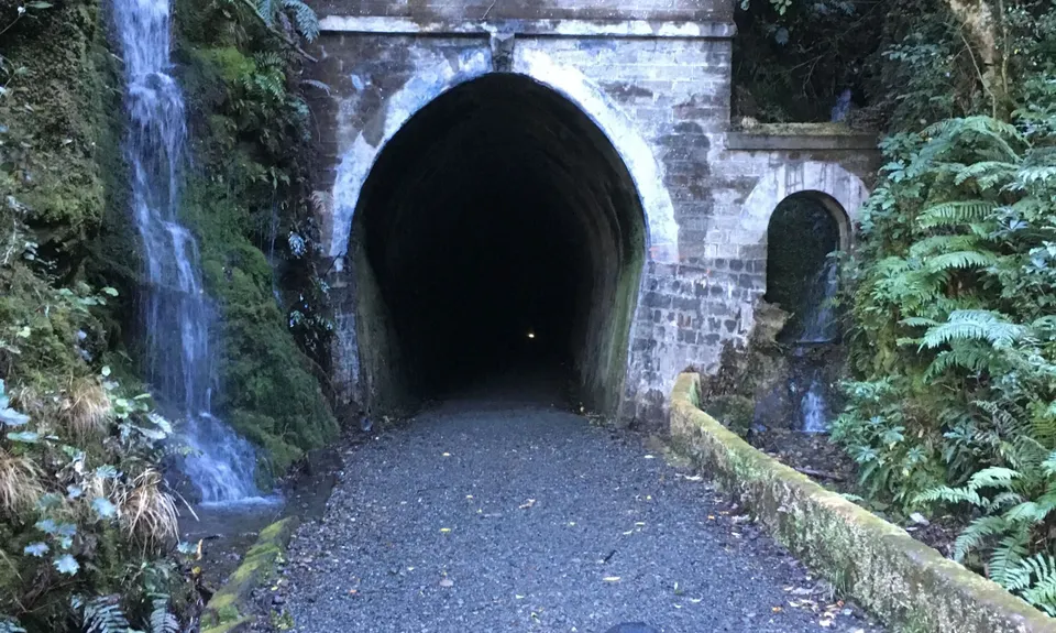
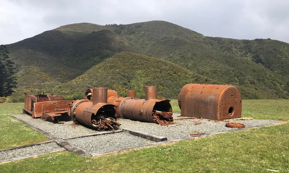
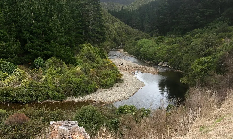
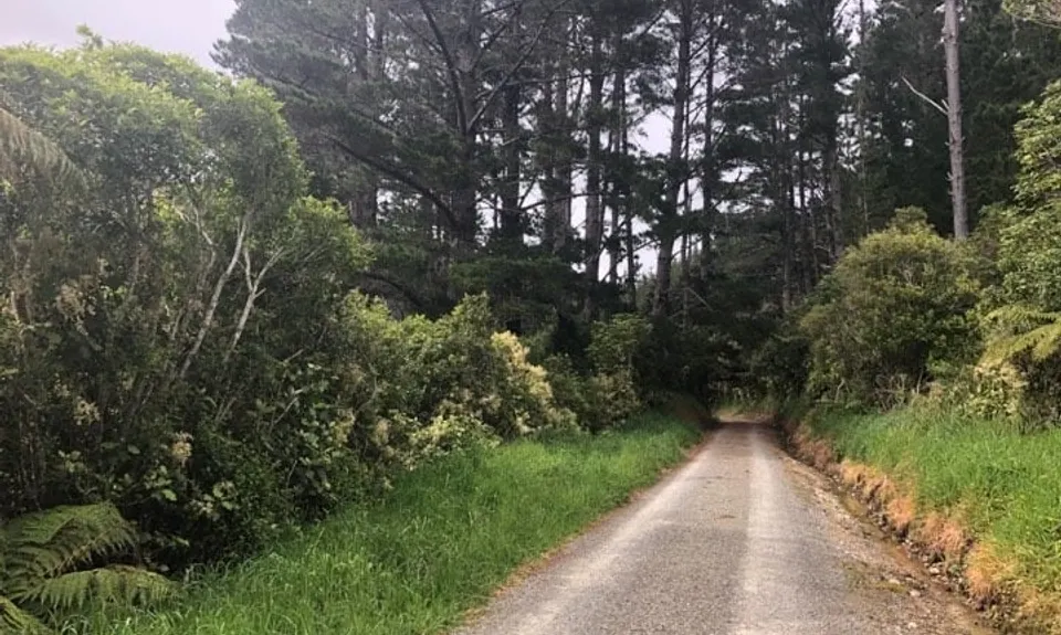
Rimutaka Incline
Last Updated: 6th Sep 2025
Open
Grunt Factor: 26 ?
Gnarl Factor: 9 ?
36.0km
390m
390m
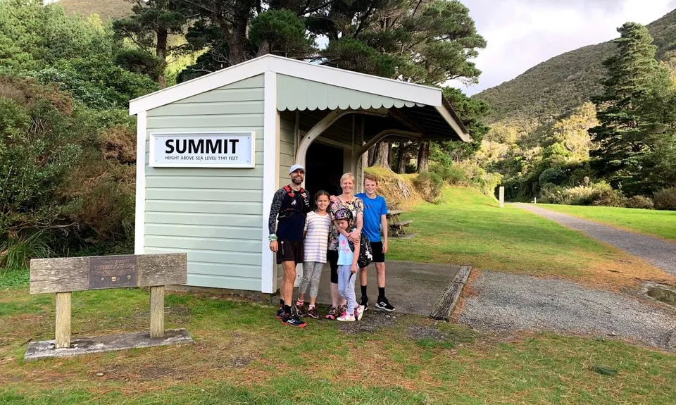
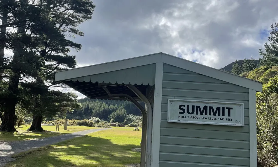
439m

.jpg)


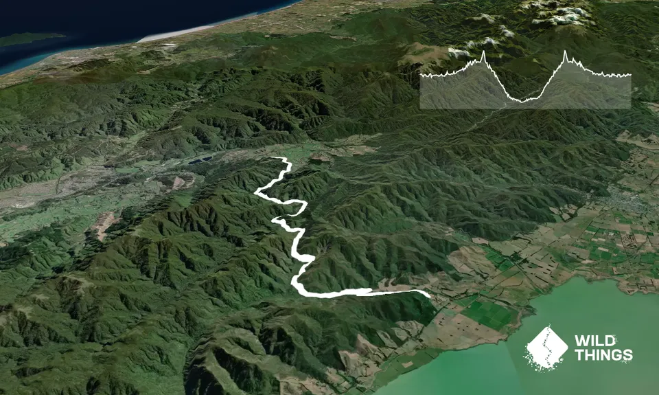
Trail Map
This Topo layer only covers NSW/ACT.
Switch to another map layer when viewing outside this area.
Switch to another map layer when viewing outside this area.