Last Updated: 4th Oct 2024
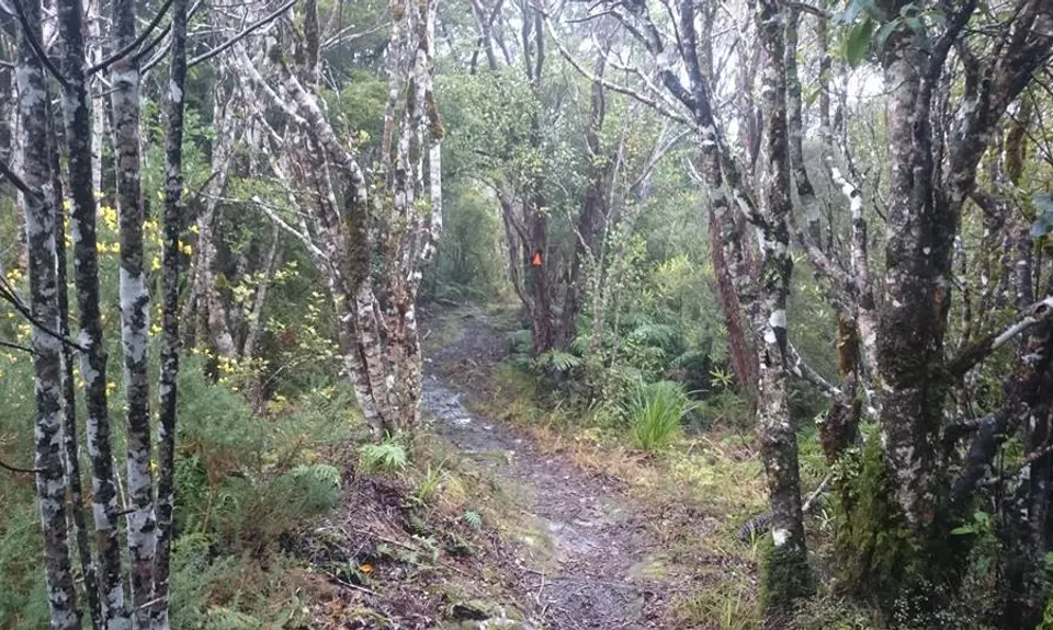
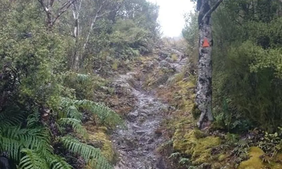
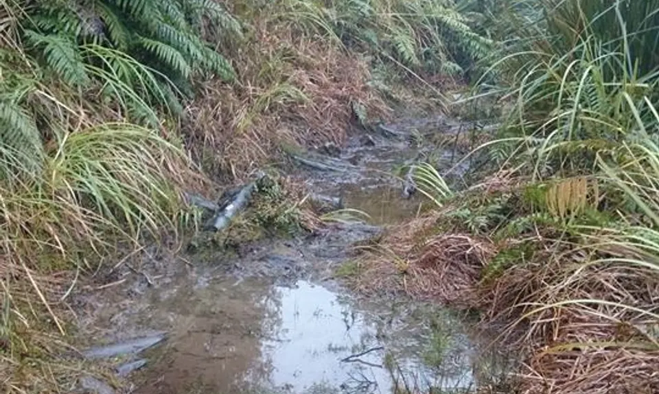
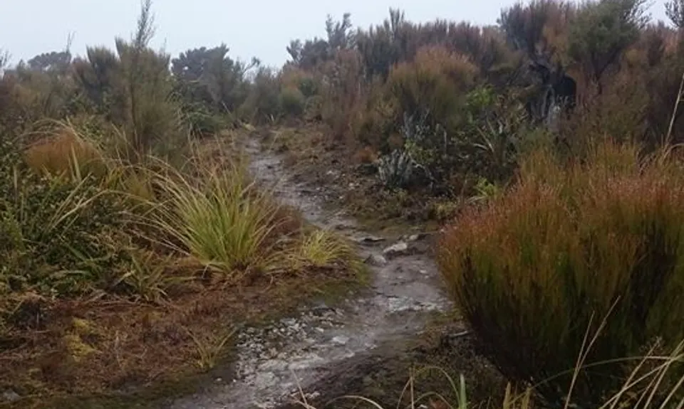
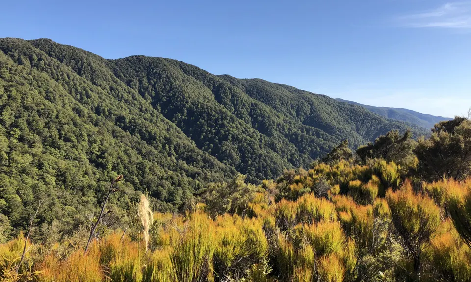
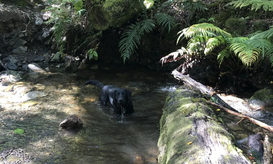
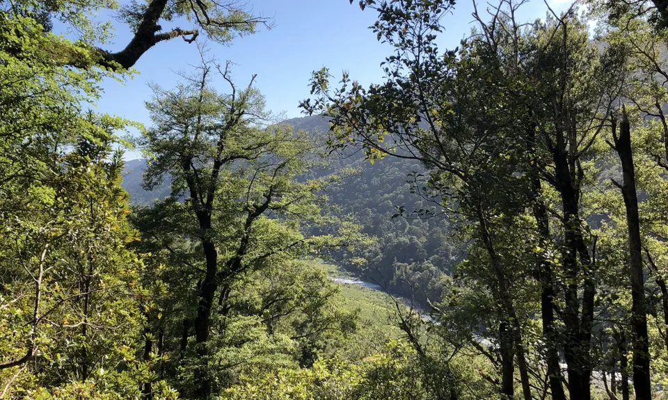
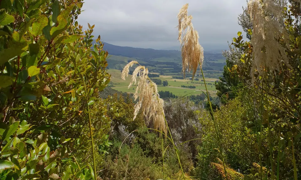
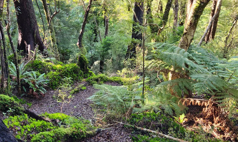
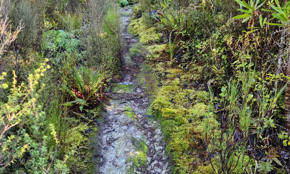
Dobson Loop
Last Updated: 4th Oct 2024
Open
Grunt Factor: 31 ?
Gnarl Factor: 86 ?
14.3km
825m
825m
655m

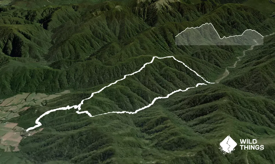
Trail Map
This Topo layer only covers NSW/ACT.
Switch to another map layer when viewing outside this area.
Switch to another map layer when viewing outside this area.