Leith Hill Intermediate
Submitted by Tony Sharpe
Back country - remote
Combo
Very hilly
Native bushOpen tussock/grasslandsOpen ridges/tops
Intermediate
3:00 (Slow)
2:15 (Moderate)
1:30 (Fast)
-16.4%
+16.5%
Fastest Known Times (FKTs)
Men
Women
There are currently no female FKTs for Leith Hill .
Filter FKTs
The more , the harder the FKT will be to beat. Learn about Fastest Known Times.
Description
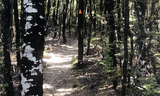
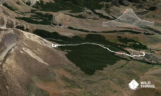
Start up with the trail through the village, and pick up the marked trail that descends to the Thomas River. You may or may not keep dry feet as you cross the river, and pick up the "Loop Track" as it ascends up onto tussocky terraces and then into the beech forest.
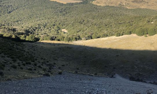
The well marked track then ascends steadily up through the forest until emerging into the prominent basin half way up Leith Hill that is known locally as The "Depression". This is a good spot for a break and a fuel up, before you head off for the more technical stuff. I dare you not to start humming "There is no depression in New Zealand..."
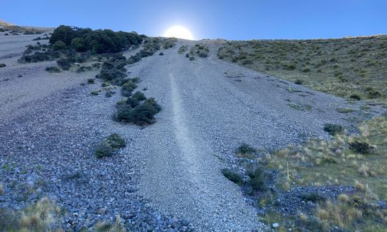
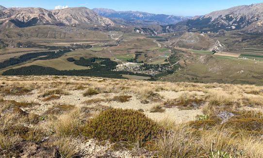
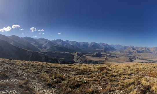
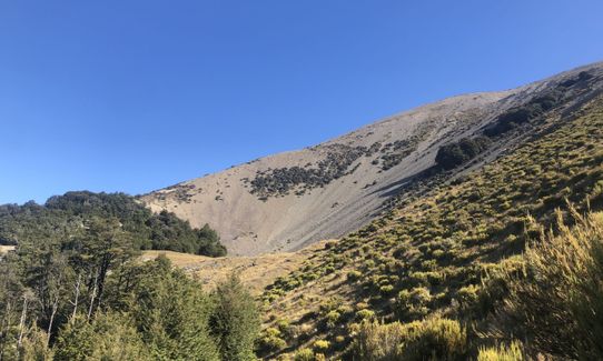
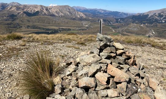
From the "Depression" its pretty much a case of follow your nose to the top. Leave the marked trail behind and follow the long sweeping spur to the north of the basin, picking your way up through mixed scrub, tussock and rocky terrain. The higher you go the better the views get. The summit is marked with a very large cairn.
Return routes are either the same way, or conversely you could descend the screes and spur down the south side of the Depression. Pick the track up at the bushline again and complete "The Loop Track" back home to the village. Some nice moderately technical bush trail running as you drop altitude again.
Trail Community
There are currently no members to show for this trail.
Features of interest
Half way up you will find yourself in the distinctive Depression, a prominent landmark from around the Castle Hill Basin
Great views all round
Make Up of Run
Untracked / Route only: 40%
Technical Single Track: 20%
Moderate Single Track: 20%
Easy Single Track: 20%
Route Data
Reviews:
Photos:
Your Trail Wishlist
All the runs that are on your To Do list (no limit).
Add to wishlist view wishlistWild Explorers
I did it!-
Access
Start/ Finish at the Community facilities at Castle Hill Village
Park up in the village. Pretty safe with lots of friendly people at certain times
32 km
26 minutes
No
No
-
Staying Safe
Moderate.
Make navigation of this route super-easy by using the Capra app on your phone. View on Capra .
You'll probably want good weather and visibility for this one as you are off track and above the bushline
Generally good.
Waterproof leggings, Thermal leggings, Lightweight fleece top, Long-sleeved thermal top, Seam-sealed waterproof jacket, Windproof jacket, Gloves, Beanie/thermal headwear, Personal Locator Beacon (PLB), Whistle, First aid kit, Extra food for emergencies, Survival blanket, Cellphone, Map, Gaiters.
BYO
Snow and Ice in winter.
You are in the mountains- sudden and hazardous weather can hit rapidly. Check the forecast.
-
Post run indulgence
Springfield has a few cafes, and is the closest town with such amenities
-
Sponsor this trail