Last Updated: 25th Jul 2025
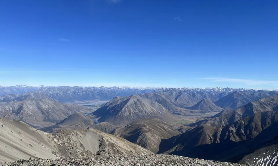
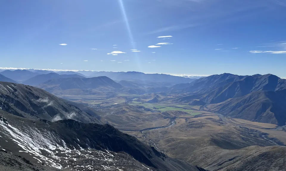
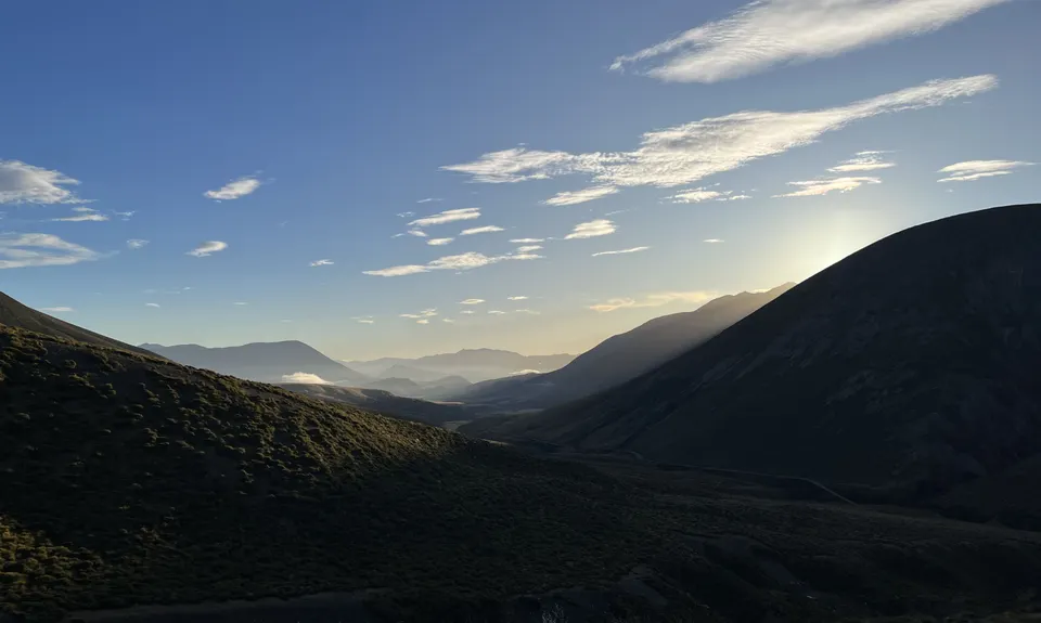
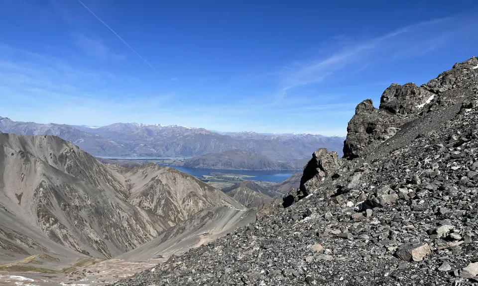
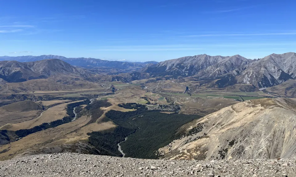
Porters to Castle Hill
Last Updated: 25th Jul 2025
Open
Grunt Factor: 67 ?
Gnarl Factor: 100 ?
20.0km
2035m
2185m
2177m
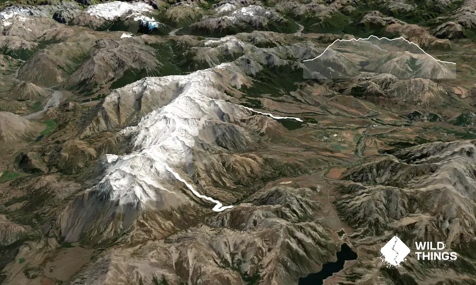
Trail Map
This Topo layer only covers NSW/ACT.
Switch to another map layer when viewing outside this area.
Switch to another map layer when viewing outside this area.


