Last Updated: 1st Jan 2024

Beginner - Intermediate

Save Trail Save

I've done it Done

The Edge loop

Castle Hill Village, Canterbury

Submitted by Katie Smith

Last Updated: 1st Jan 2024

Beginner - Intermediate

Save Trail Save

I've done it Done

Open

Grunt Factor: 20 ?

Gnarl Factor: 27 ?

10.6km

955m

955m

1287m


Login as a VIP to see driving directions, distance and time.

Trail Map

Type of Run

Front country - easily accessible

Loop

Undulating, some big hills

Dog Friendly

Native bush

Riverside

Open tussock/grasslands

Open ridges/tops

Run Makeup

50%
50%

Gravel Road

Moderate Single Track

Average Uphill Gradient: +18.0%

Average Downhill Gradient: -18.0%

Trailhead

Login as a VIP to see the trailhead information.

Estimated Times to Run

2:00

Slow

1:30

Moderate

1:00

Fast

This loop is well worth the gravel road climb for the single track descent. It's fine to run in either direction, but the Edge track is great fun to come down, so best in the described direction.

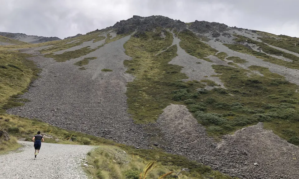
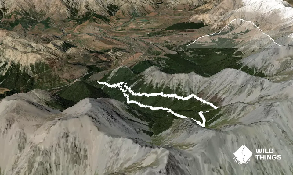
Start by running up the Craigieburn ski field road from the car park at the bottom. Although it's a gravel road it winds through lovely beech forest, gradually gaining height and with great views. Early on you will see a DoC sign with a track climbing up to the left - this is where you will come out.

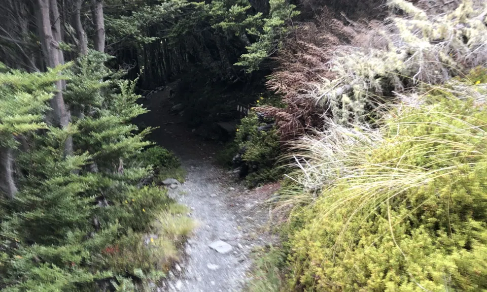
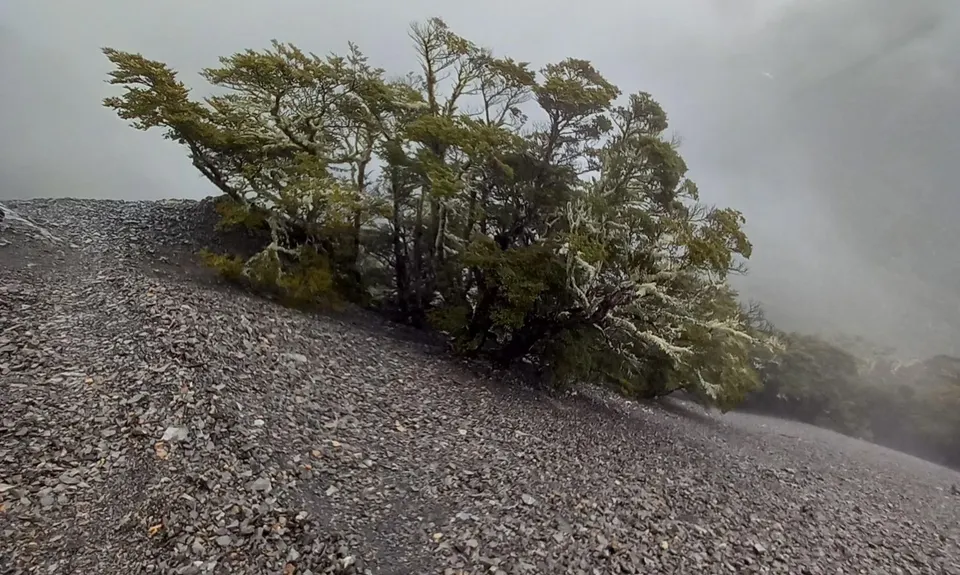
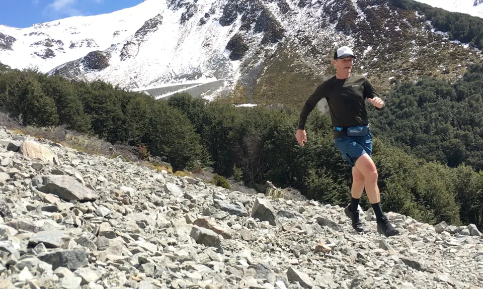
Near the top you pass the ski field ticket building - keep following your nose upwards until the road runs out. From here you will see the single track starting across a bit of open scree, heading back down the side of the valley you've come up but at a higher level. This is the Edge track - it ducks in and out of beech forest, crossing scree slopes. Lower down you will pass a signposted junction to Helicopter Hill/the Luge - take the left fork to continue heading back to the ski field road.

You pop out onto this about half a km from where you started - head right and keep going downhill back to the start.

If you know of any public toilets near the trail start or on the route, please login and then let us know so we can update this section.

10 km

10 minutes

Yes

No

Easy.

Very patchy.

Long-sleeved thermal top, Beanie/thermal headwear, Whistle, First aid kit, Extra food for emergencies, Cellphone, Map

There are several streams crossed on the Edge track that are good drinking

This climbs high - expect snow in winter, particularly on the top section. It is generally fairly protected from wind.

Trail Legend

Katie Smith

Katie Smith

has completed The Edge loop once in the last year.

Learn about Trail Legends.

You and The Edge loop

As a VIP member you can record private notes for this trail, see all of your times and more.

Register Now

Already have an account? Login now

Trail Reviews

A nice loop in one of my favourite playgrounds. Fun technical descent along the Edge Track, with plenty of visual distractions on a fine day and lots of options close by for running or riding afterwards. Four stars, because I'm not a fan of road running, but at least it's only a short trot up the valley.

Christian Couper

October 23, 2023

Super smooth trail running perfect for dodgy ankles. I made it 11.5k/470m.

Mike McManaway

December 2, 2022

Stunning track. Well worth the climb up to run the edge track down. Few tips are to go left at the top when it shows no turning. And keep going till you see the DOC sign and the screw to your left. Then keep going till way down where you will see the doc sign for the Luge as mentioned. Few small streams, had to cross into one but was dry very quickly. We will be back to take the time down.

Tony Fallon

February 7, 2022

Login to submit a review

Trail Running Community

Find people who are interested in or have completed this trail run.

You must register or login to view this feature.

Register Now

Overlapping Trails

These overlap with this trail to some degree. You may wish to combine them but please note that to qualify for FKTs on these runs you should record a separate activity for each.

Coal Pit Spur Loop

Coal Pit Spur Loop

Length: 15.5km

Level: Beginner - Intermediate

Other trails nearby
Hogsback Track

Hogsback Track

Length: 14.7km

Level: Beginner - Intermediate

The Loop of Depression

The Loop of Depression

Length: 6.0km

Level: Beginner - Intermediate

Thomas River Run

Thomas River Run

Length: 4.7km

Level: Beginner

Dracophyllum / Camp Saddle Loop

Dracophyllum / Camp Saddle Loop

Length: 24.0km

Level: Intermediate

Find more trails and peaks nearby