Last Updated: 20th May 2026
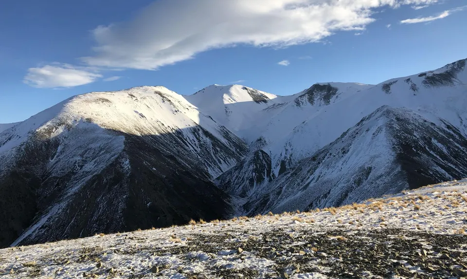
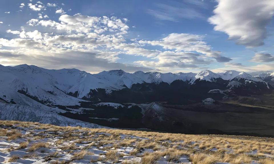
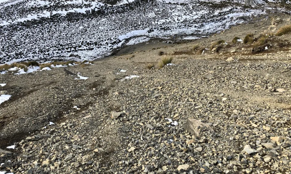
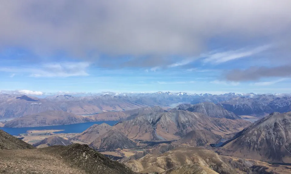
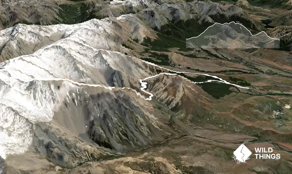
Cloudsley - Enys Traverse
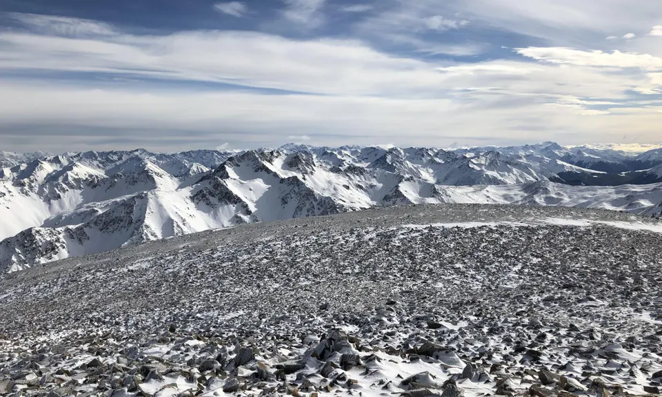
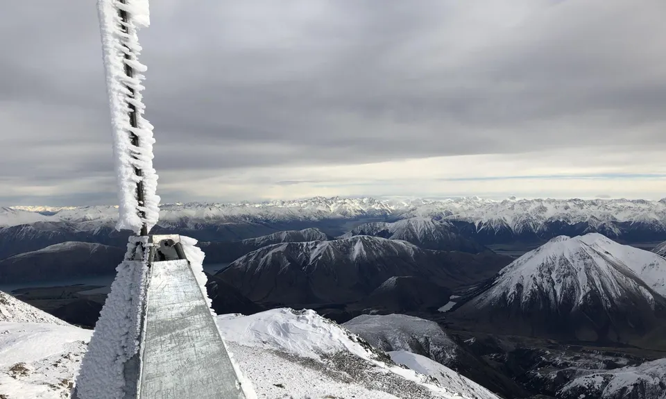
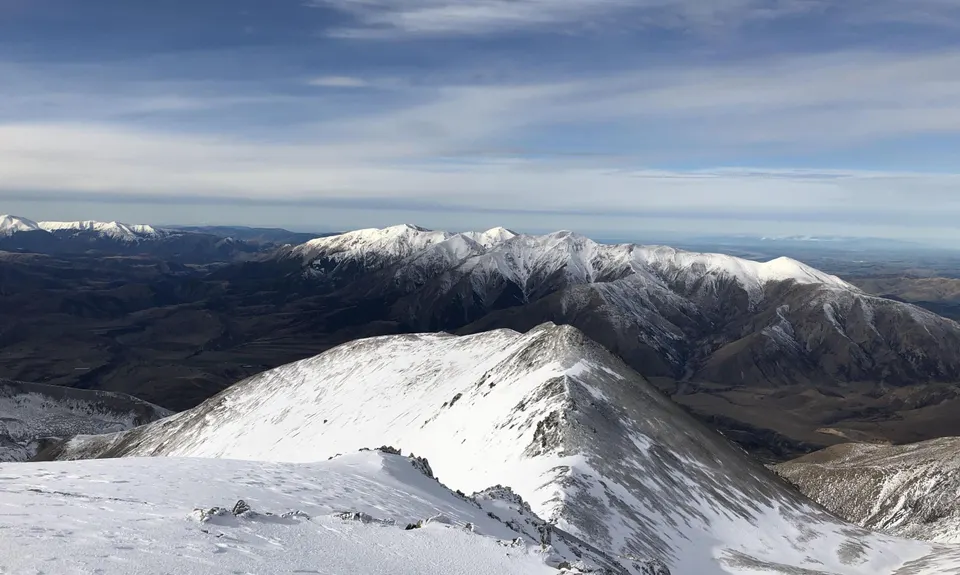
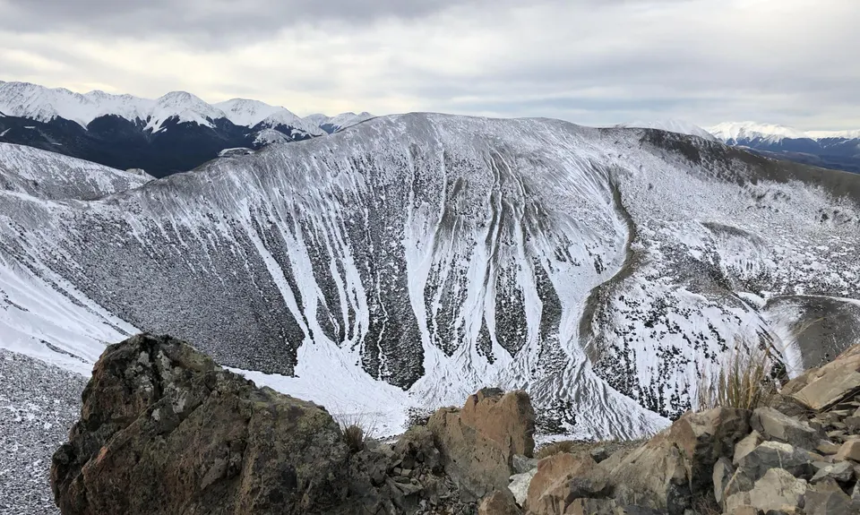
Craigieburn Range
Dead Man Spur, Long Spur
Last Updated: 20th May 2026
Open
Grunt Factor: 76 ?
Gnarl Factor: 91 ?
21.7km
2150m
2150m
2107m

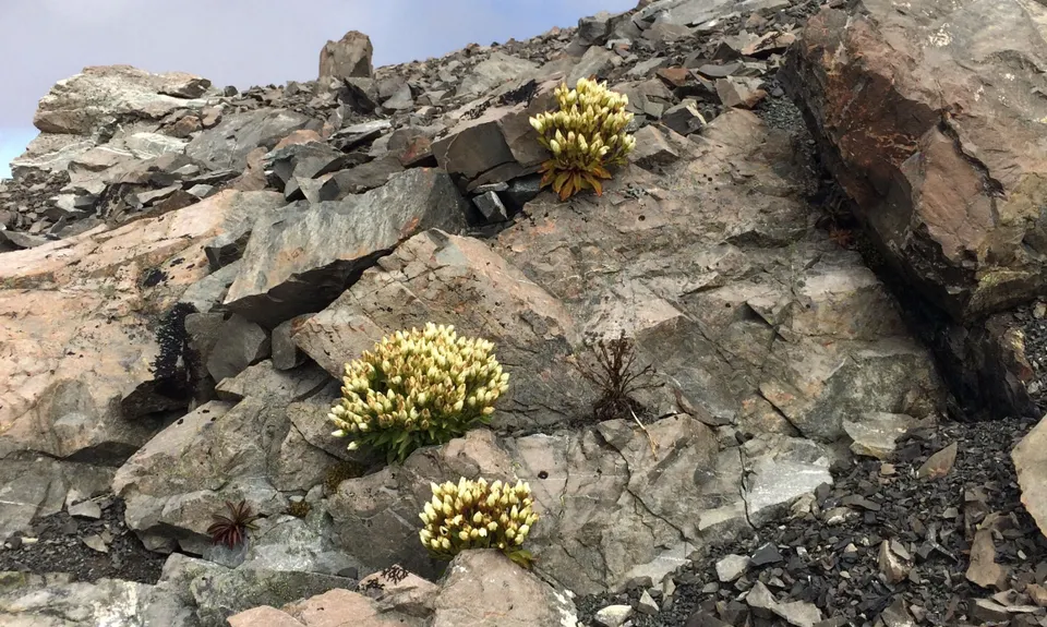
.jpg)
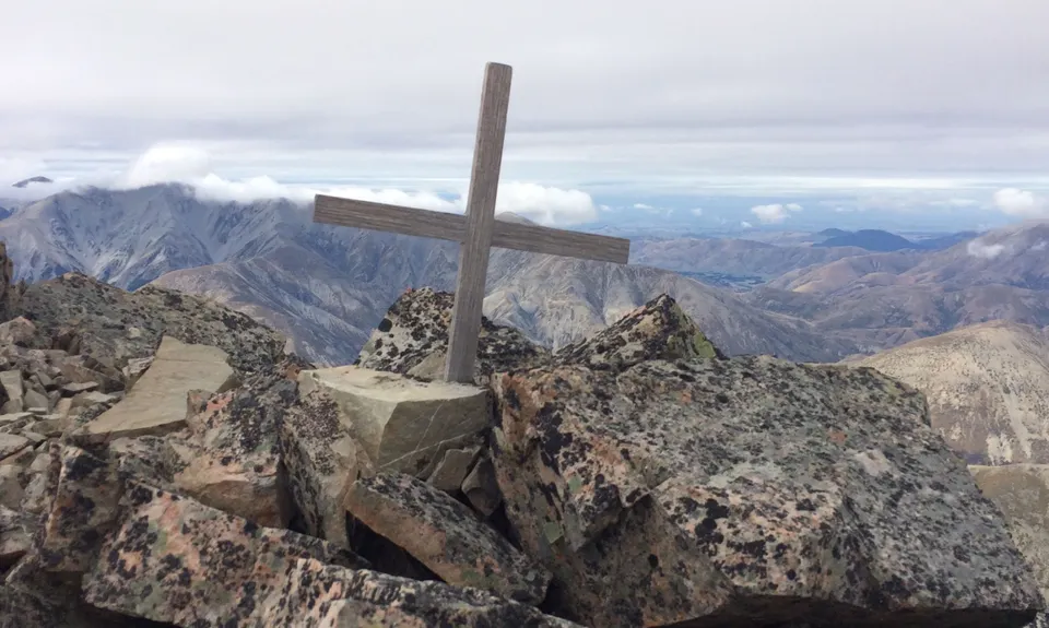
.jpg)
Trail Map
This Topo layer only covers NSW/ACT.
Switch to another map layer when viewing outside this area.
Switch to another map layer when viewing outside this area.


