Last Updated: 20th Apr 2025
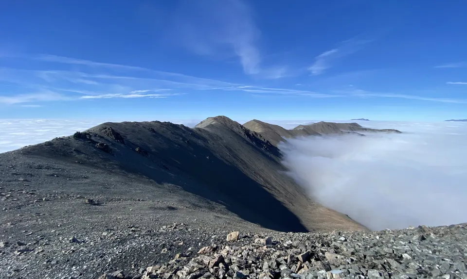
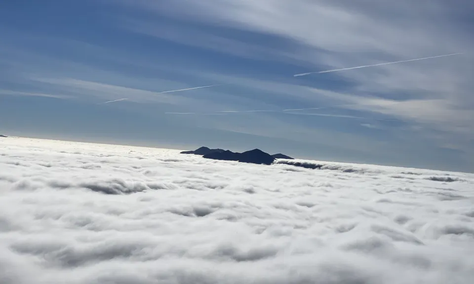
Craigieburn Traverse
Last Updated: 20th Apr 2025
Grunt Factor: 125 ?
Gnarl Factor: 91 ?
43.5km
3330m
3550m
2194m
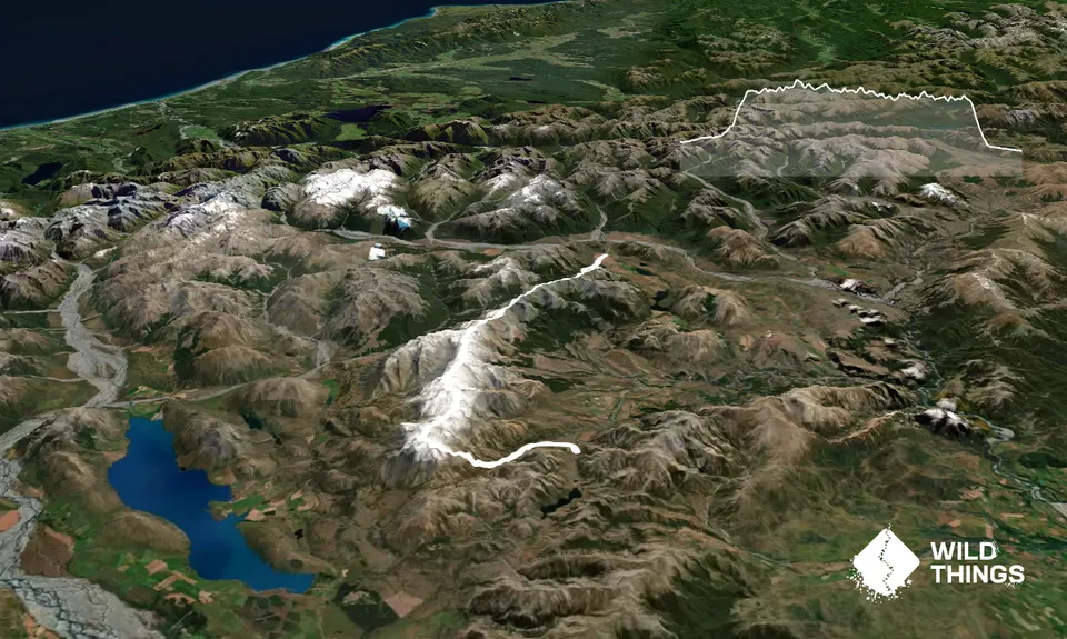
Trail Map
This Topo layer only covers NSW/ACT.
Switch to another map layer when viewing outside this area.
Switch to another map layer when viewing outside this area.


