Wild Things - New Zealand's trail running community
New Zealand's trail running community

Login


don't have an account?

Leith Hill , Canterbury

Trail Directory proudly supported by Further Faster

Update Your Header Picture

Leith Hill Intermediate

Submitted by Tony Sharpe

Info Info
Map Loading

Trail Information

8.30km

660m

660m


Canterbury

Castle Hill Village

Back country - remote

Combo

Very hilly

Native bush
Open tussock/grasslands
Open ridges/tops

Intermediate

3:00 (Slow)
2:15 (Moderate)
1:30 (Fast)

-16.4%

+16.5%

Download PDF Guide
View trail on Capra App

Fastest Known Times (FKTs)

Please set your gender to see your position on the FKT leaderboards.

Men

Show more

Women

Show more

Filter FKTs

The more , the harder the FKT will be to beat. Learn about Fastest Known Times.

Missing your time?

Register or login as a VIP and get yourself on the FKT leaderboard!

Register Now

Description

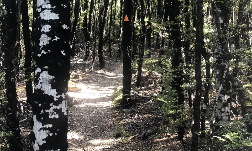
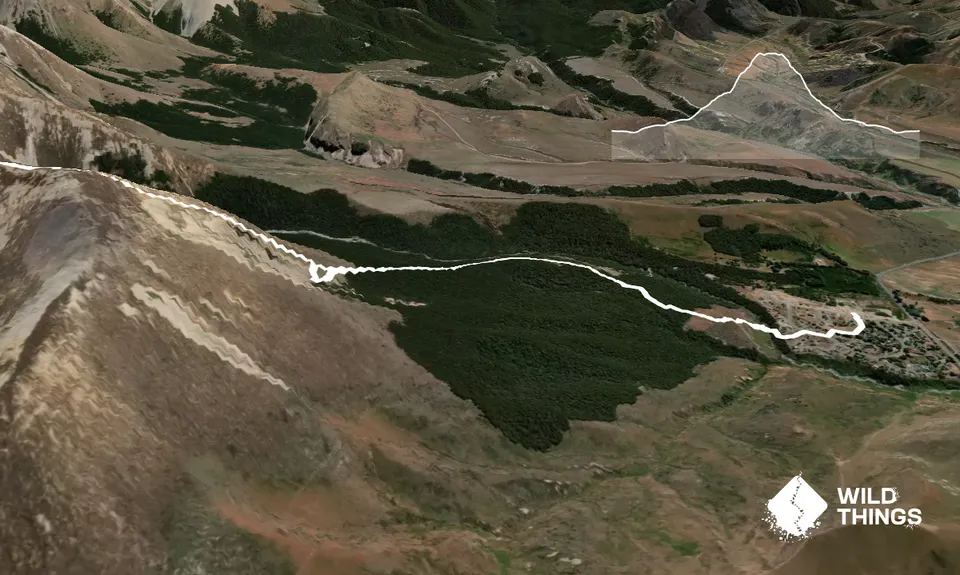
Start up with the trail through the village, and pick up the marked trail that descends to the Thomas River. You may or may not keep dry feet as you cross the river, and pick up the "Loop Track" as it ascends up onto tussocky terraces and then into the beech forest.

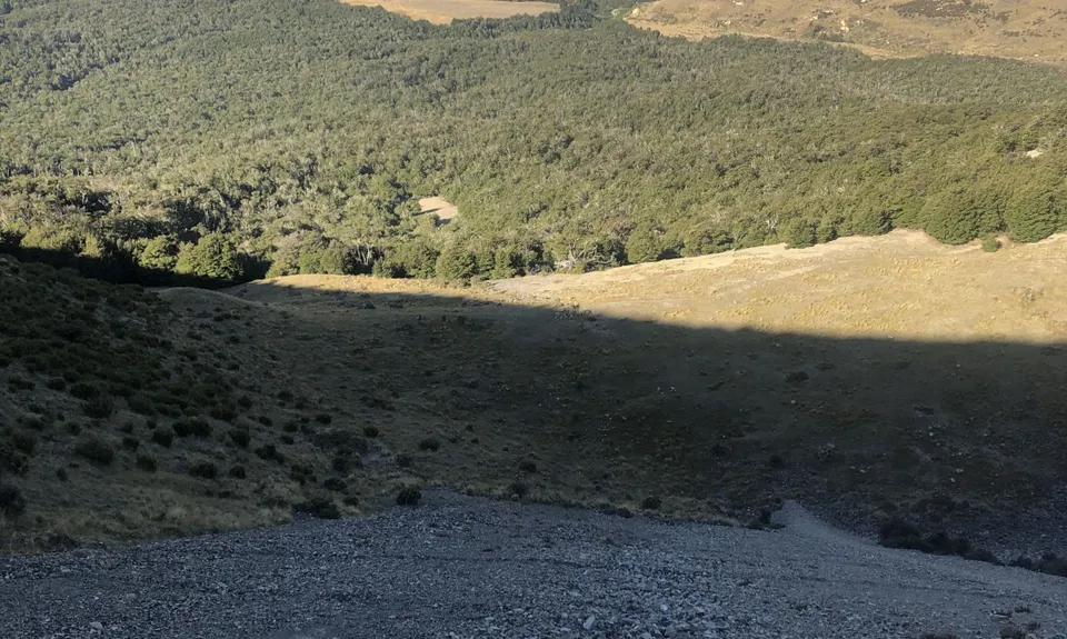
The well marked track then ascends steadily up through the forest until emerging into the prominent basin half way up Leith Hill that is known locally as The "Depression". This is a good spot for a break and a fuel up, before you head off for the more technical stuff. I dare you not to start humming "There is no depression in New Zealand..."

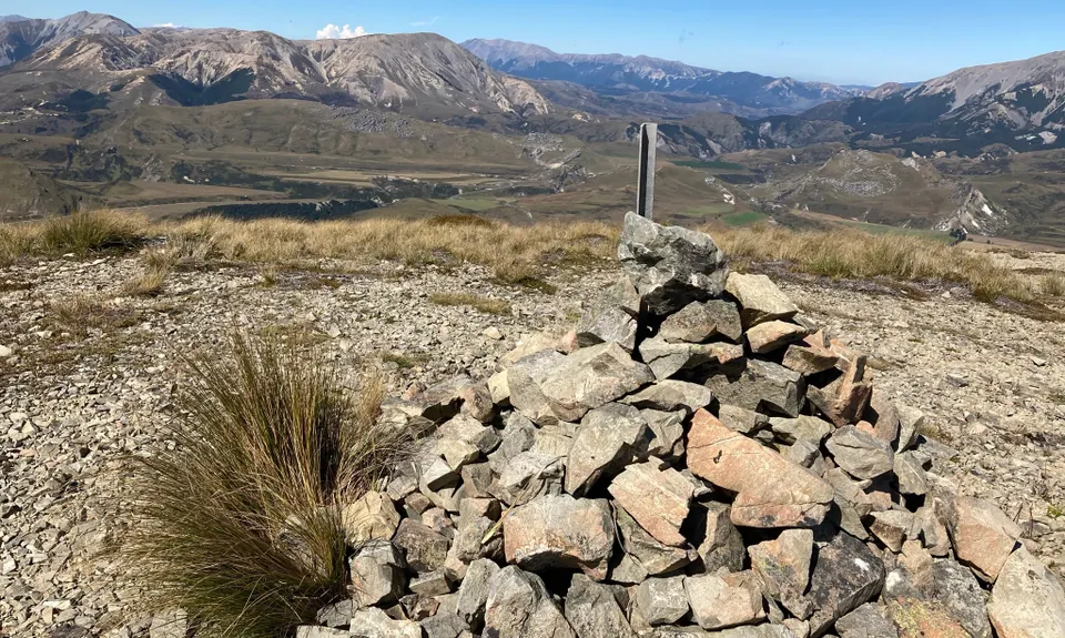
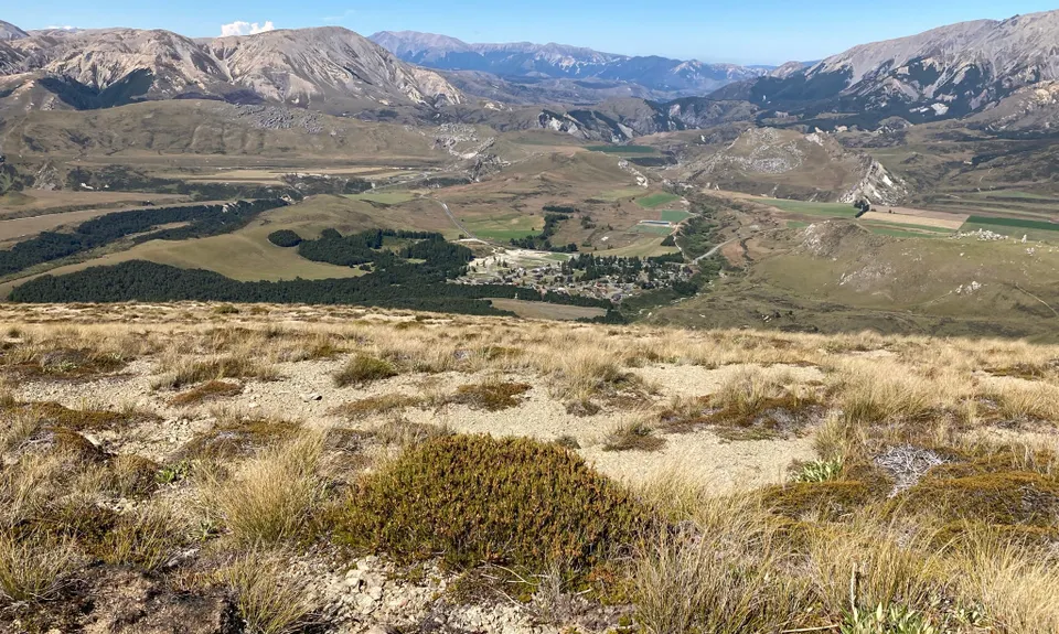
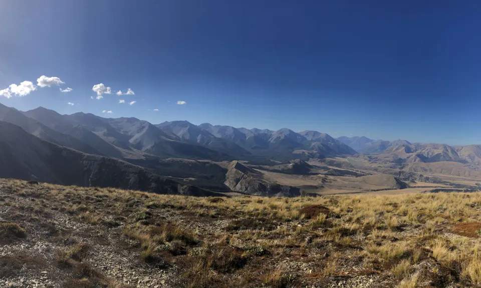
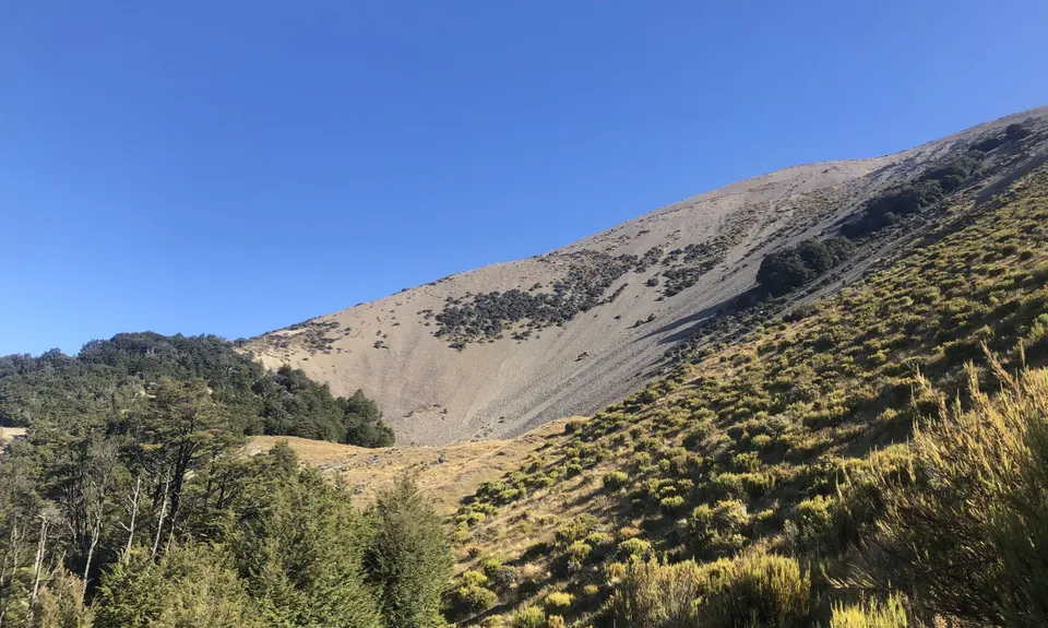
From the "Depression" its pretty much a case of follow your nose to the top. Leave the marked trail behind and follow the long sweeping spur to the north of the basin, picking your way up through mixed scrub, tussock and rocky terrain. The higher you go the better the views get. The first 'summit' is marked with a very large cairn but this is not the true summit! The true summit is to the west (at the end of the gpx trail) . This summit does not have a significant cairn and appears lower when viewed from the cairn ... don't be fooled!

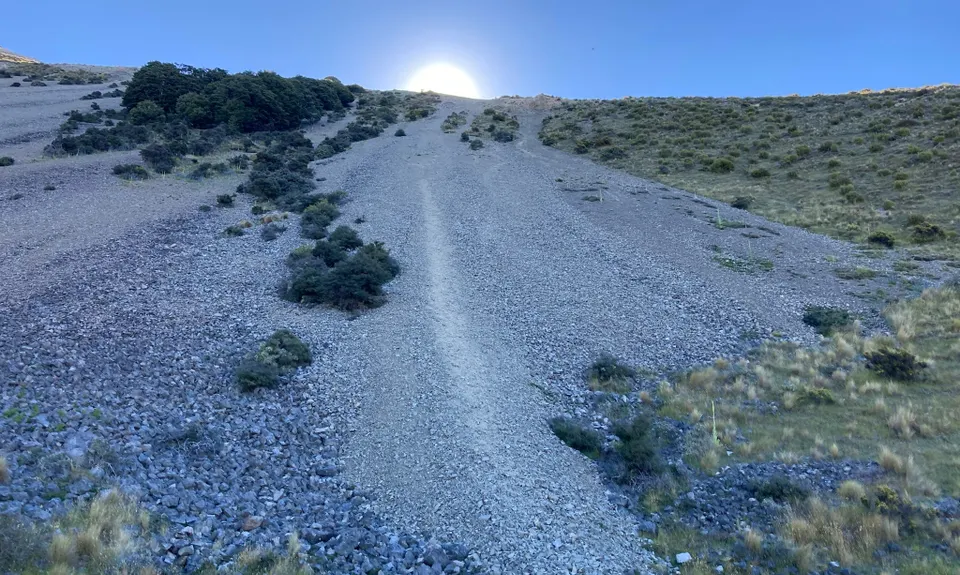
Return routes are either the same way, or conversely you could descend the screes and spur down the south side of the Depression. Pick the track up at the bushline again and complete "The Loop Track" back home to the village. Some nice moderately technical bush trail running as you drop altitude again.


Trail Community

Find people who are interested in this run.

You must register or login to view this content.

Features of interest

Half way up you will find yourself in the distinctive Depression, a prominent landmark from around the Castle Hill Basin

Great views all round


Make Up of Run

Untracked / Route only: 40%

Technical Single Track: 20%

Moderate Single Track: 20%

Easy Single Track: 20%


Route Data

Reviews:

You must register or login to view this content.


Overlapping Runs

The following trails overlap with this run to some degree. You may wish to combine them but please note that to qualify for FKTs on these runs you should record a separate Strava activity for each


Photos:

You must register or login to view this content.

Your Trail Wishlist

All the runs that are on your To Do list (no limit).

Add to wishlist view wishlist

Your Trail Dreamlist

The runs you most want to do (limited to 10).

Add to dreamlist view dreamlist

Wild Explorers

I did it!
  • Access

    Start/ Finish at the Community facilities at Castle Hill Village

    Park up in the village. Pretty safe with lots of friendly people at certain times

    0 km

    1 minutes

    No

    No

  • Staying Safe

    Moderate.

    Make navigation of this route super-easy by using the Capra app on your phone. View on Capra .

    You'll probably want good weather and visibility for this one as you are off track and above the bushline

    Generally good.

    Waterproof leggings, Thermal leggings, Lightweight fleece top, Long-sleeved thermal top, Seam-sealed waterproof jacket, Windproof jacket, Gloves, Beanie/thermal headwear, Personal Locator Beacon (PLB), Whistle, First aid kit, Extra food for emergencies, Survival blanket, Cellphone, Map, Gaiters.

    BYO

    Snow and Ice in winter.

    You are in the mountains- sudden and hazardous weather can hit rapidly. Check the forecast.

  • Post run indulgence

    Springfield has a few cafes, and is the closest town with such amenities

  • Sponsor this trail

    If you are interested in learning about sponsorship opportunities, please get in touch below:

    Submit

Got a favourite trail? Tell us about it.

Share the love and add your favourite trail(s) to our growing trail directory.

Submit A Trail

Become a member today

Start enjoying the many benefits to becoming a member of our thriving community.

Become a member

Great brands at great prices with our VIP member's discount

Stay up to date

Sign up to our newsletter for latest offers and trail guides

Share this trail with a friend:

VIP Membership

Please register as a VIP or login to your VIP account to view this content.

Cancel Login Register

Membership Required

You can see up to three trail guides without being logged in but after that we require you to be logged in to your Free or VIP account. If you don’t yet have an account you can register here.

Login Register