Last Updated: 9th Apr 2026
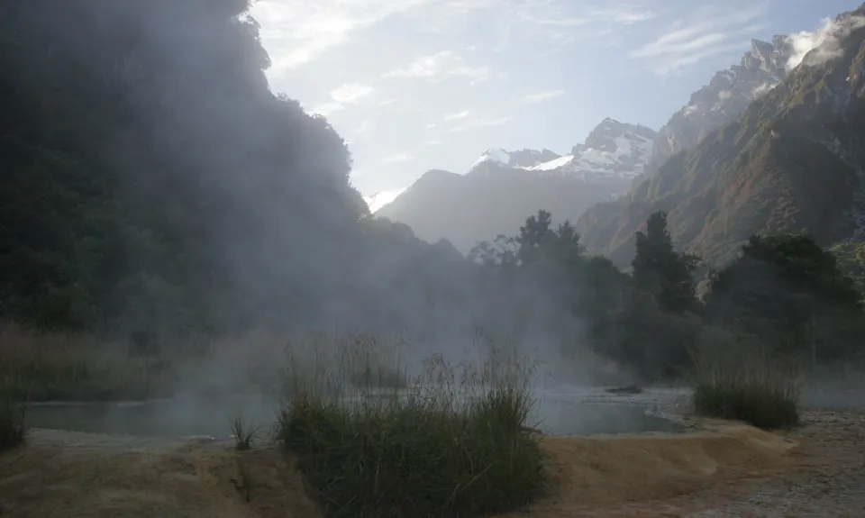
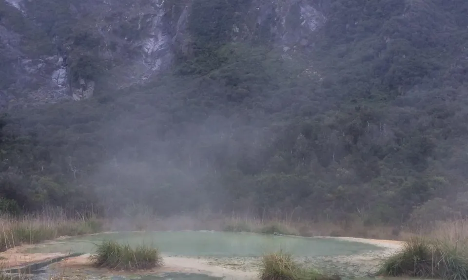
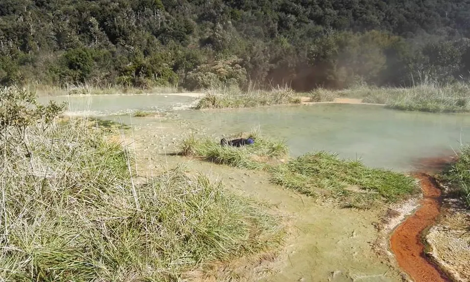
Copland Hot Pools Splash'n'Dash
Last Updated: 9th Apr 2026
Open
Grunt Factor: 57 ?
Gnarl Factor: 62 ?
36.0km
800m
800m
460m
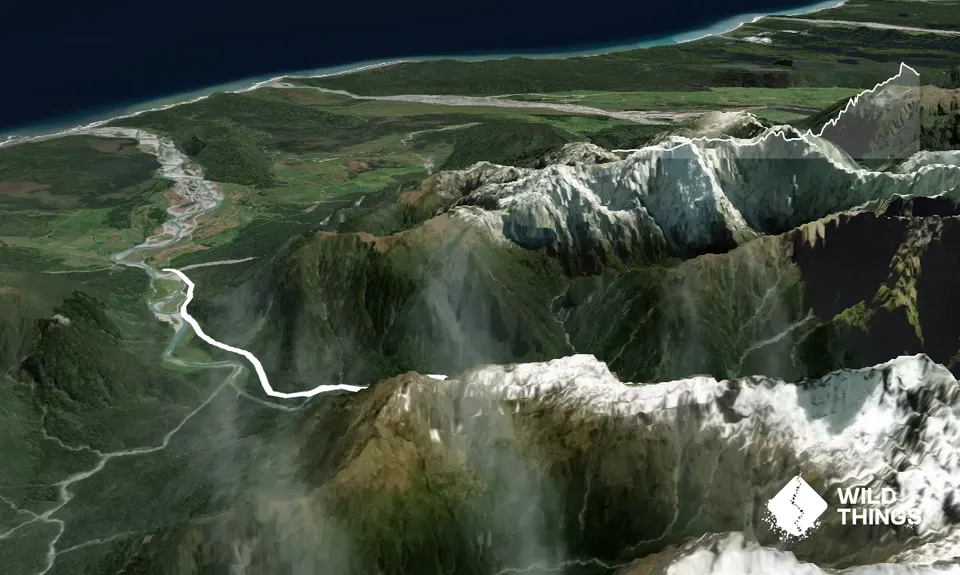
Trail Map
This Topo layer only covers NSW/ACT.
Switch to another map layer when viewing outside this area.
Switch to another map layer when viewing outside this area.


