Last Updated: 29th Dec 2025
The Whole Hemi
Last Updated: 29th Dec 2025
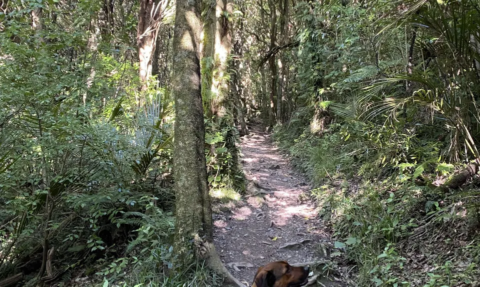
Open
Grunt Factor: 15 ?
Gnarl Factor: 60 ?
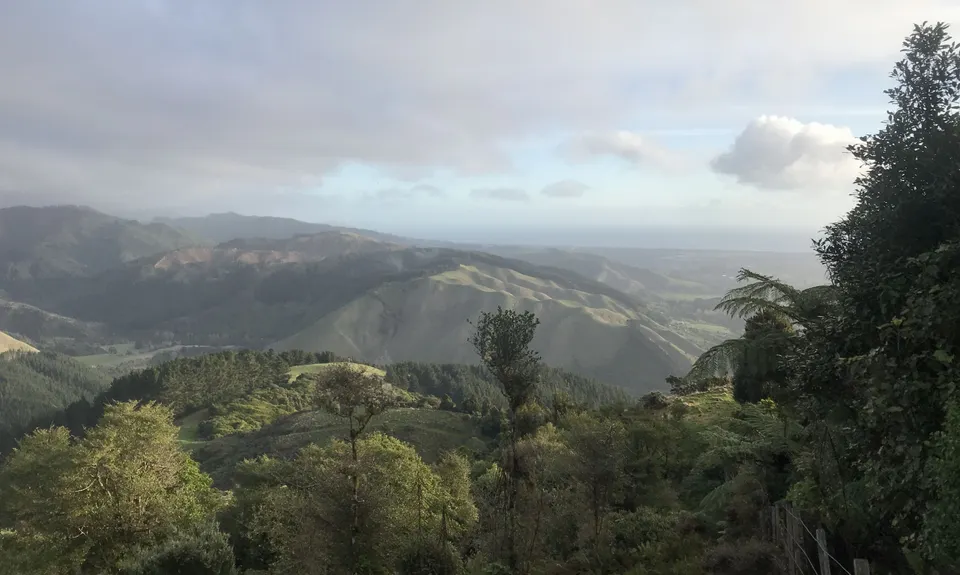
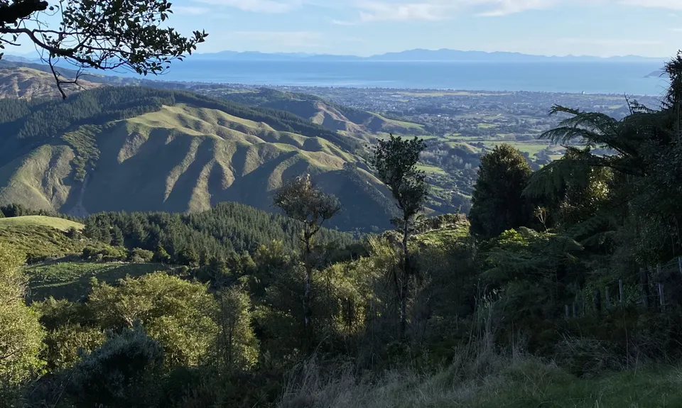
6.5km
510m
510m
521m
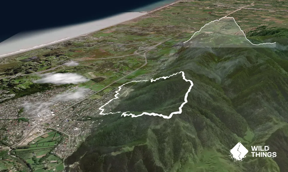
Trail Map
This Topo layer only covers NSW/ACT.
Switch to another map layer when viewing outside this area.
Switch to another map layer when viewing outside this area.


