Last Updated: 15th Nov 2024
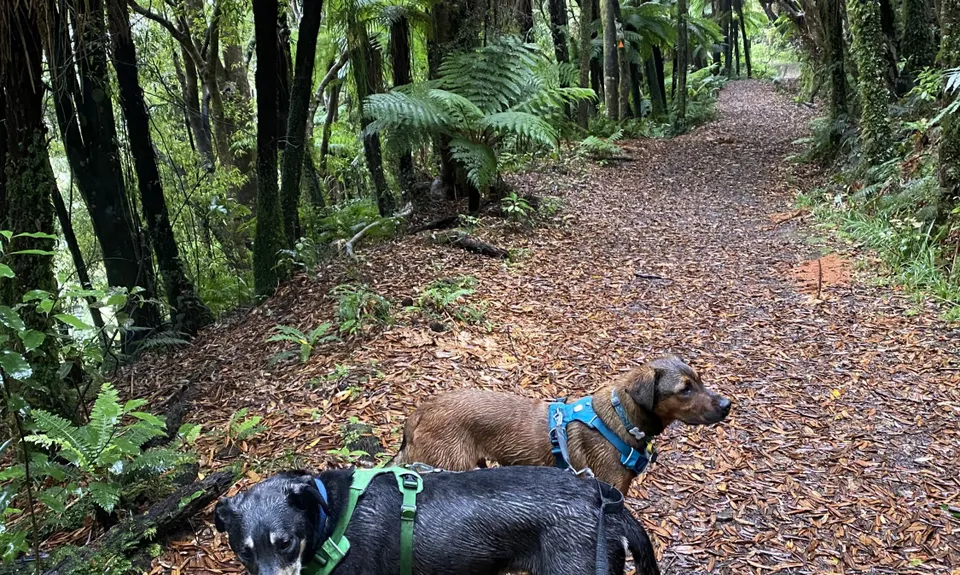
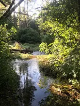
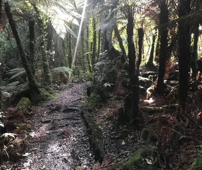
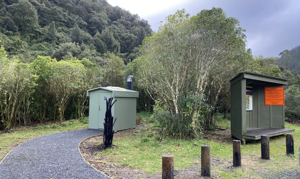
Mangaone Return
Last Updated: 15th Nov 2024
Grunt Factor: 16 ?
Gnarl Factor: 14 ?
14.0km
420m
420m
285m
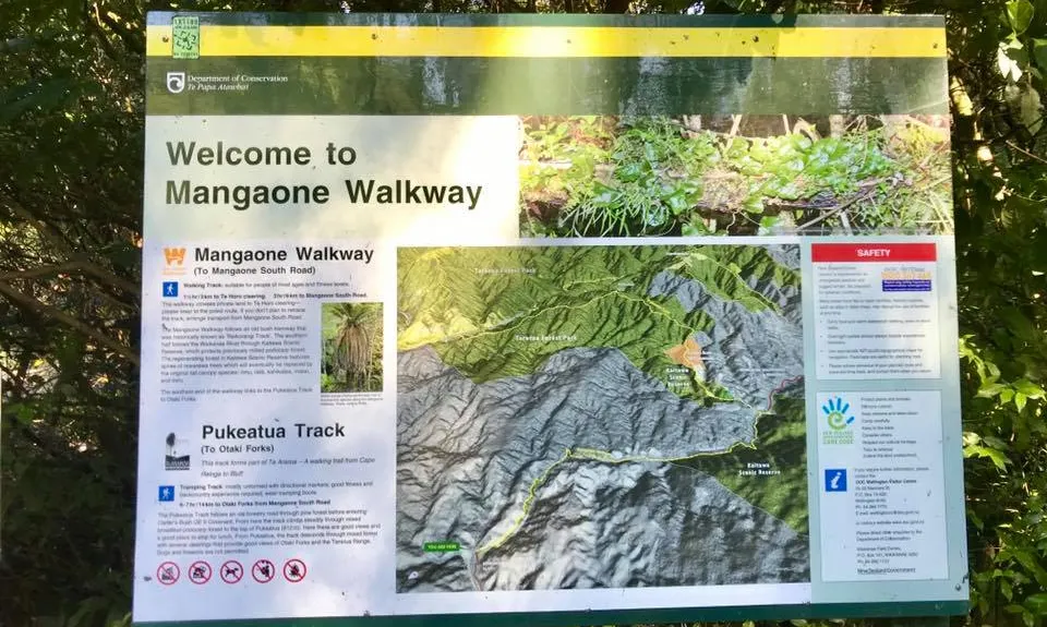
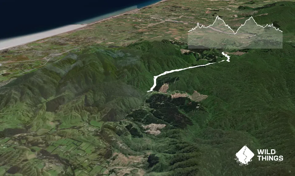
Trail Map
This Topo layer only covers NSW/ACT.
Switch to another map layer when viewing outside this area.
Switch to another map layer when viewing outside this area.