Last Updated: 16th Apr 2026
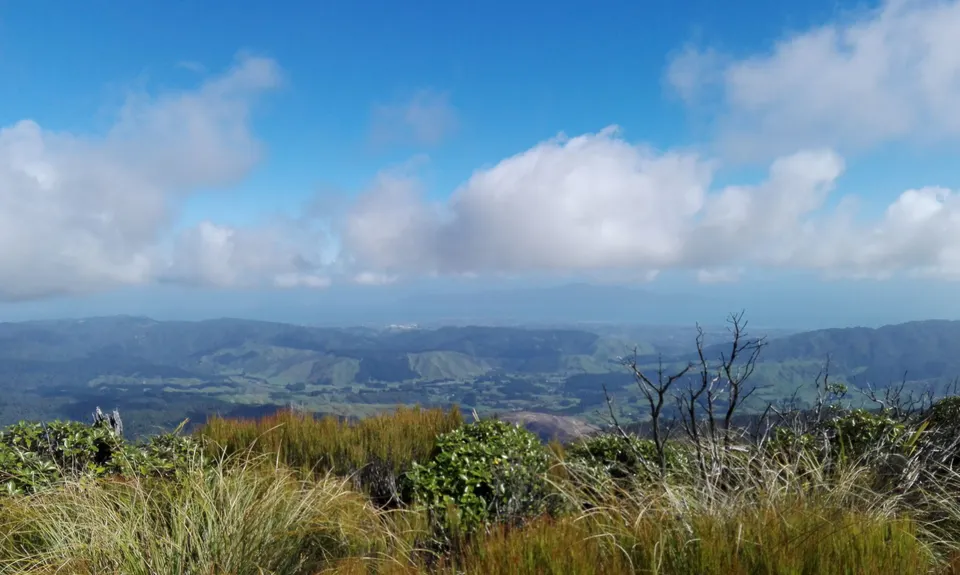
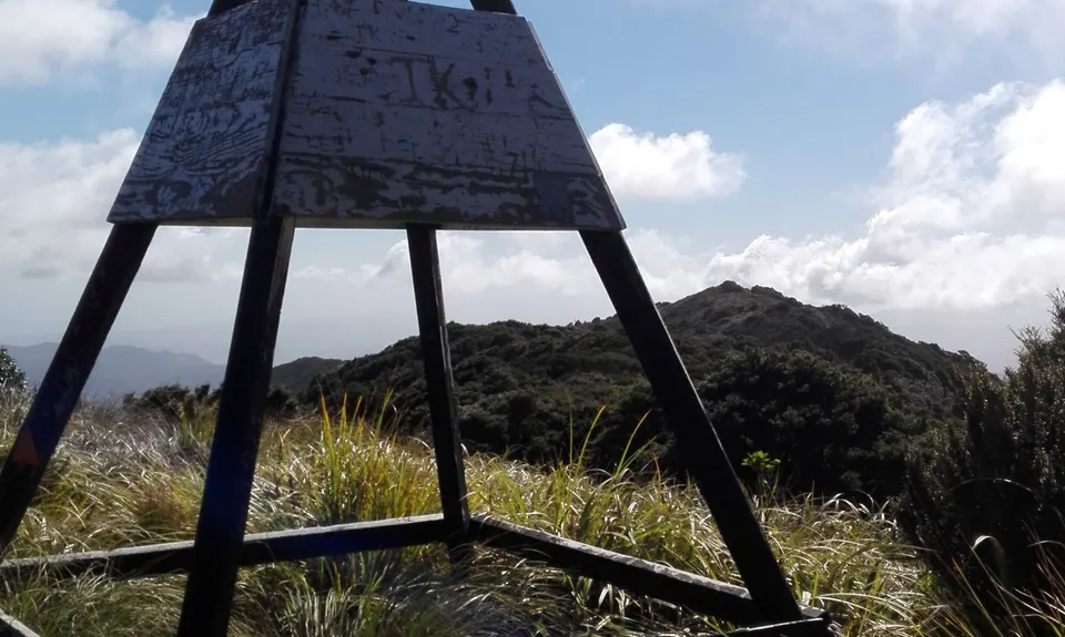
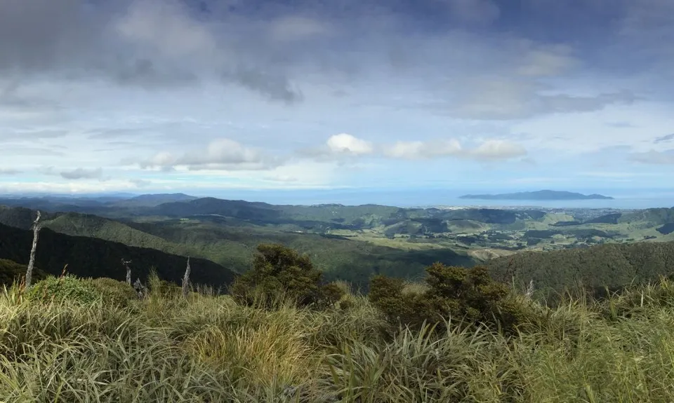
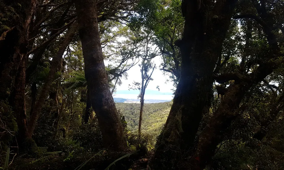
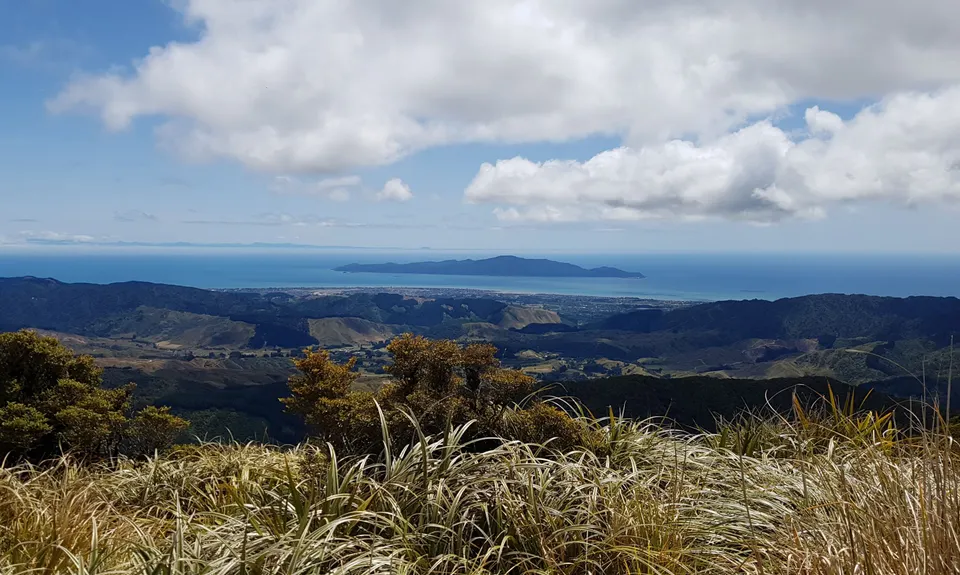
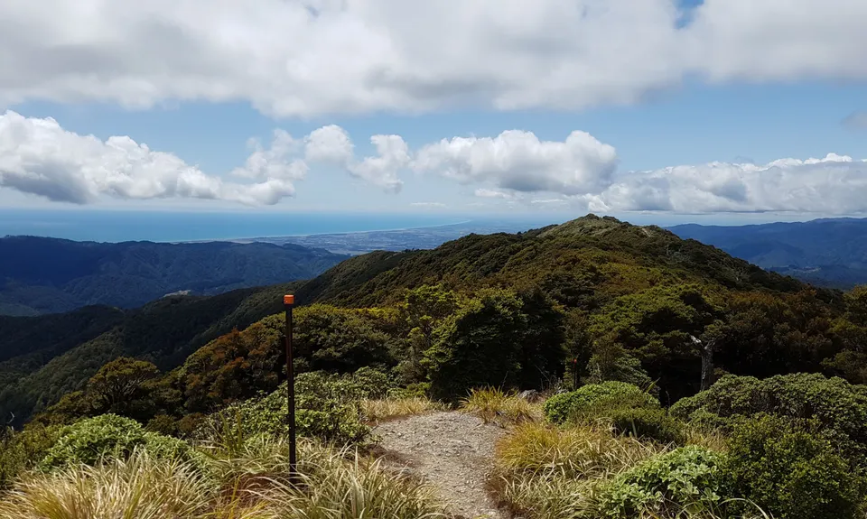
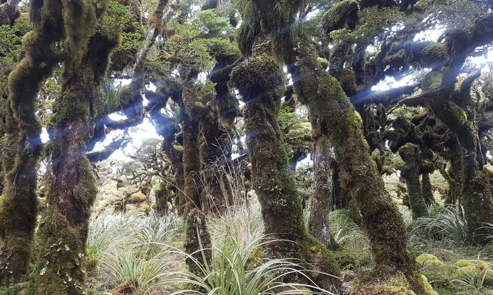
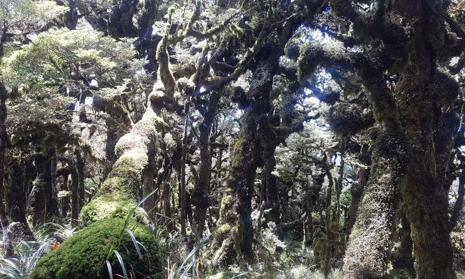
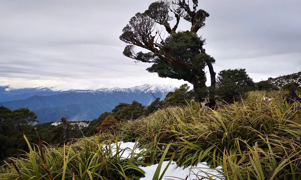
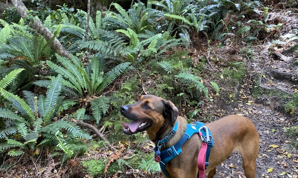
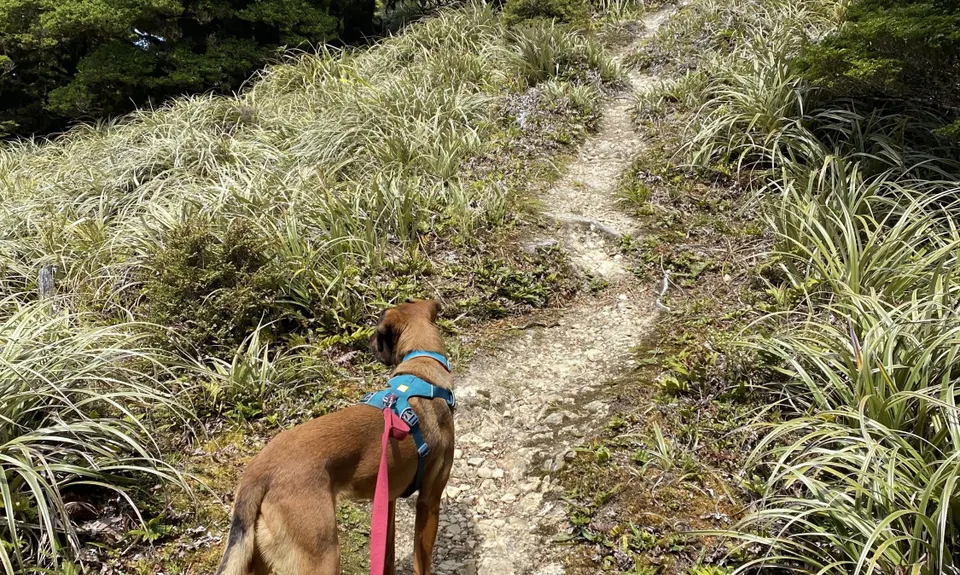
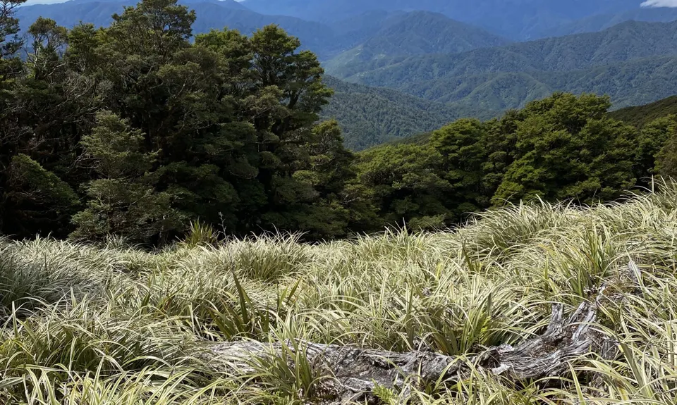
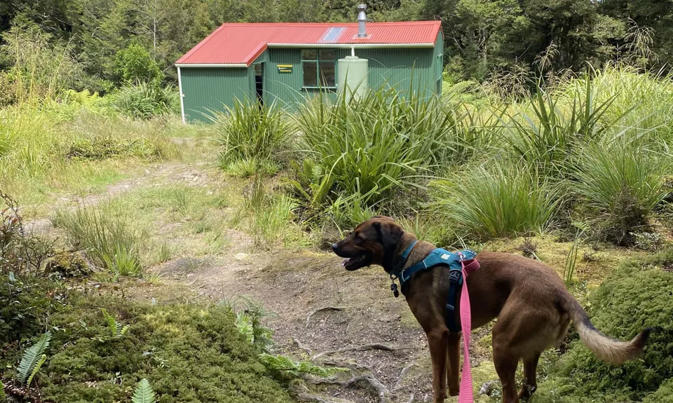
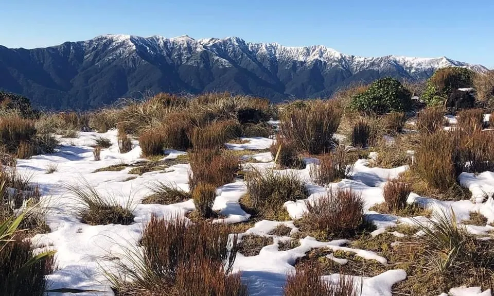
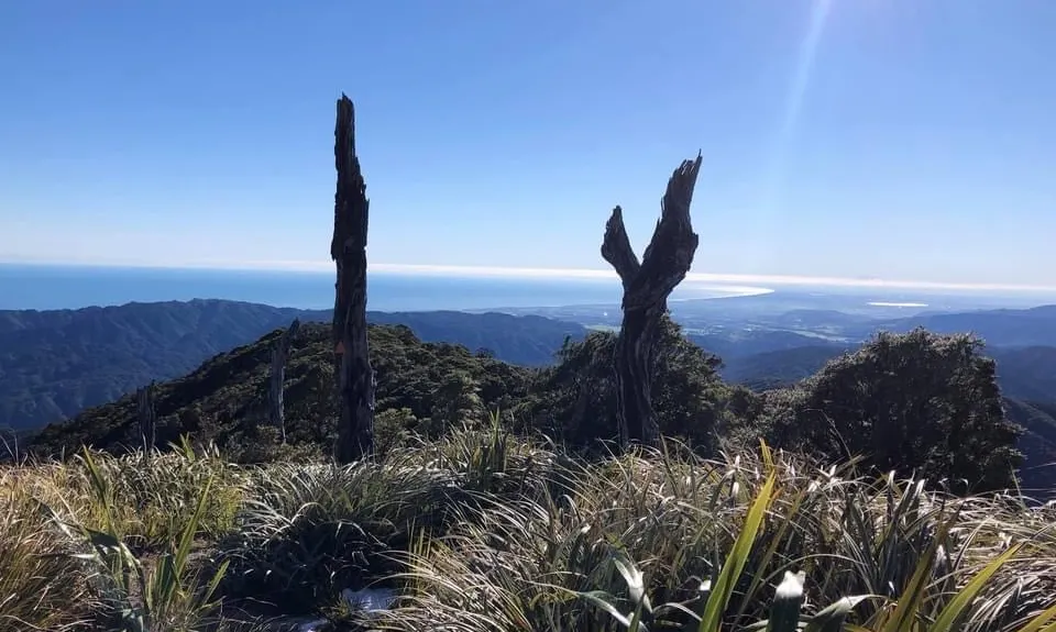
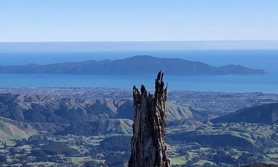
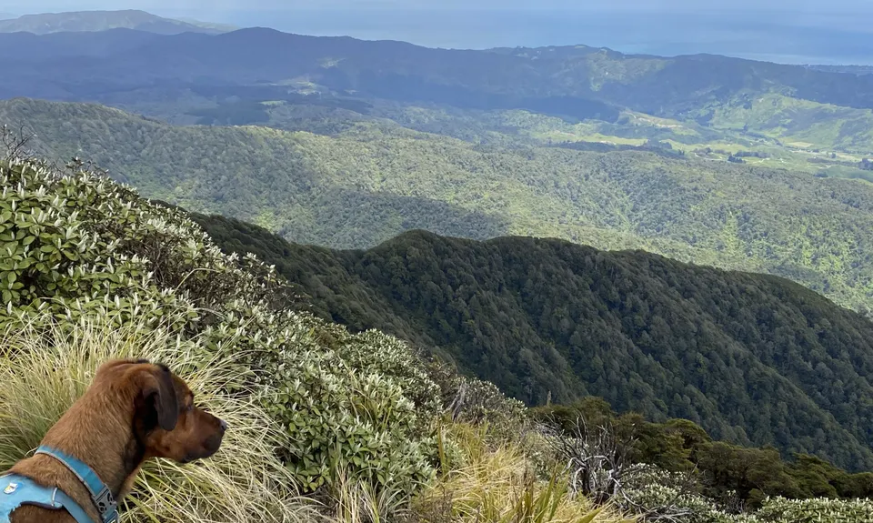
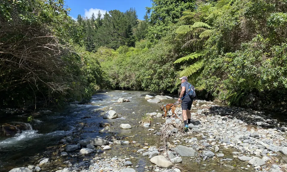
Kapakapanui Loop
Last Updated: 16th Apr 2026
Grunt Factor: 32 ?
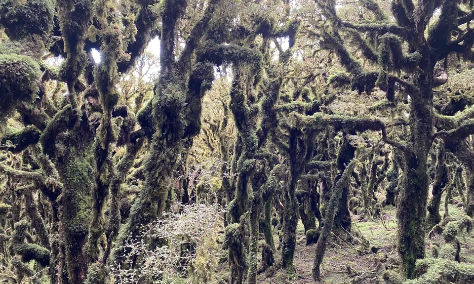
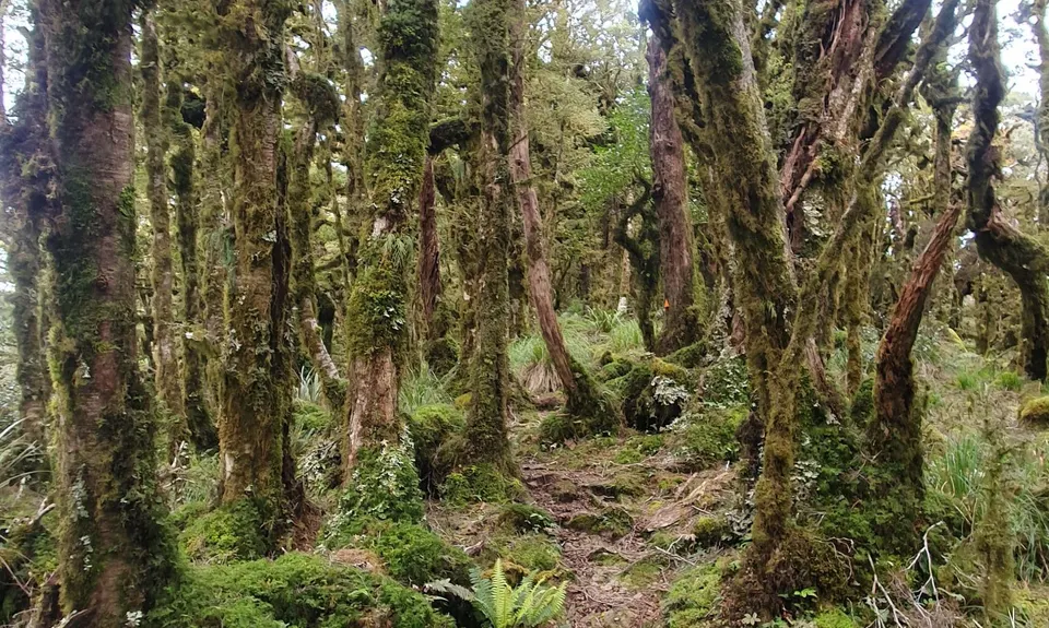
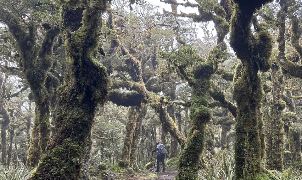
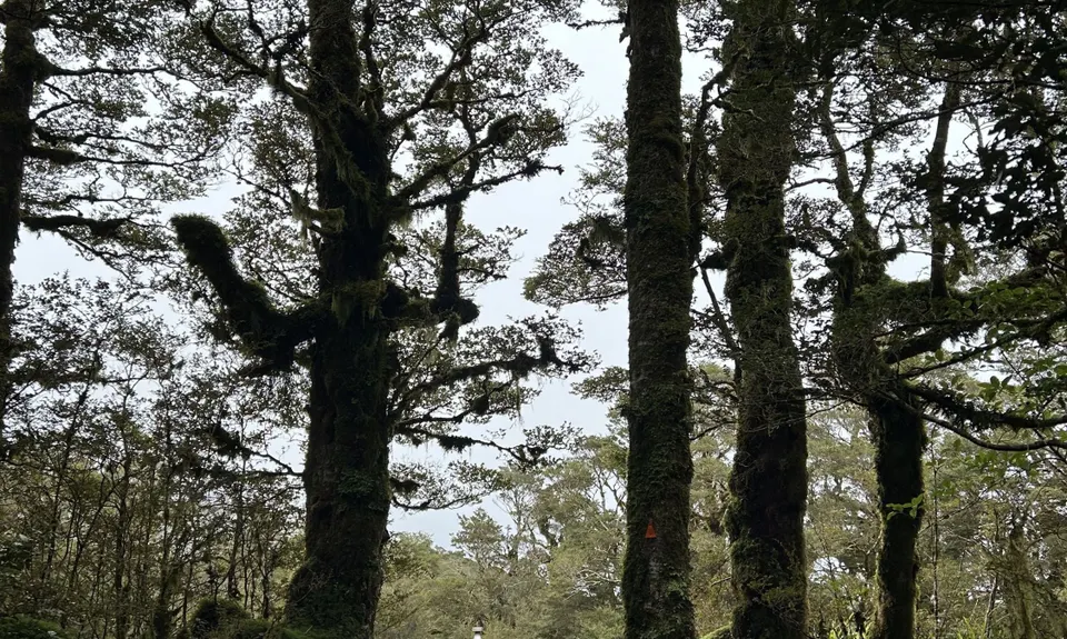
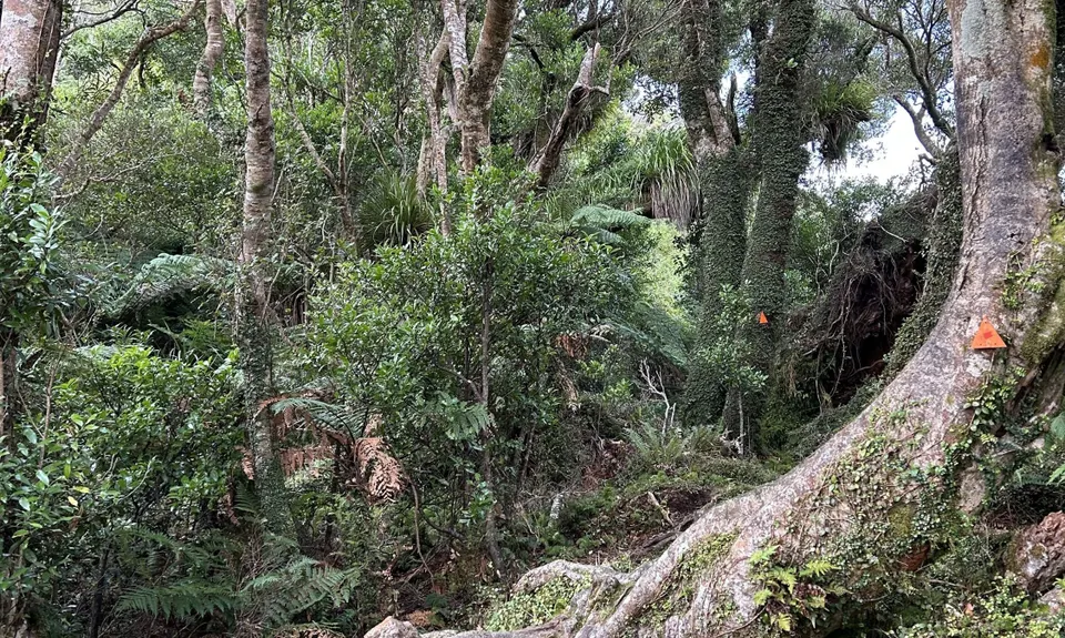
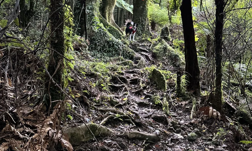
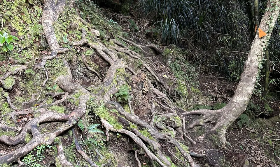
Gnarl Factor: 75 ?
13.0km
1040m
1040m
1102m

Trail Map
This Topo layer only covers NSW/ACT.
Switch to another map layer when viewing outside this area.
Switch to another map layer when viewing outside this area.


