Last Updated: 6th Feb 2025
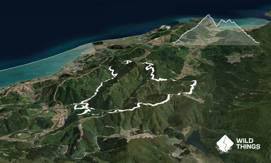
Sharlands-Central Road Loop
Last Updated: 6th Feb 2025
Open
Grunt Factor: 23 ?
Gnarl Factor: 8 ?
22.0km
640m
640m
450m
Last Updated: 6th Feb 2025
Last Updated: 6th Feb 2025
Open
Grunt Factor: 23 ?
Gnarl Factor: 8 ?
22.0km
640m
640m
450m
Front country - easily accessible
Loop
Undulating, some big hills
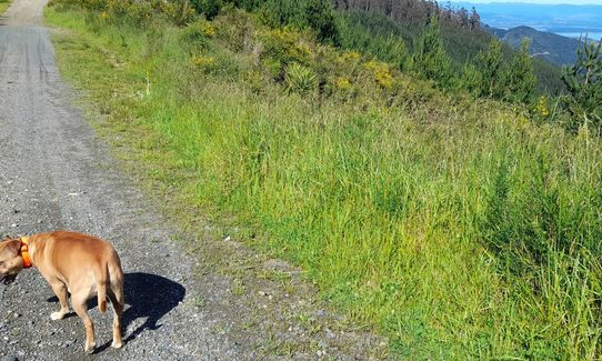
Dog Friendly
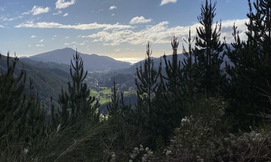
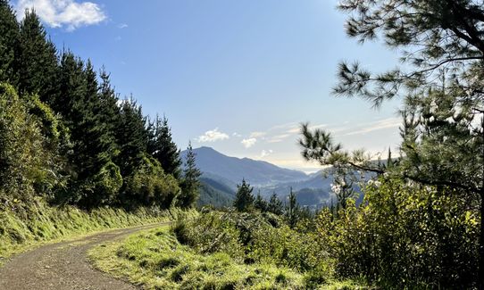
Plantation/exotic forest
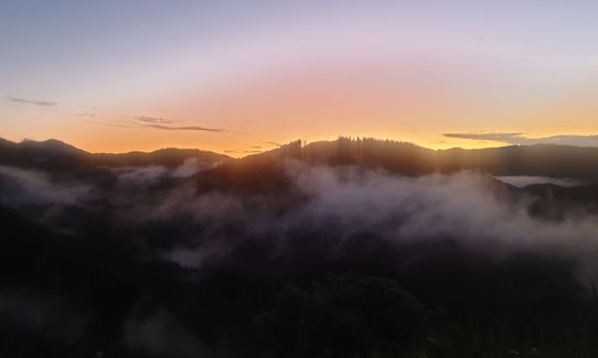
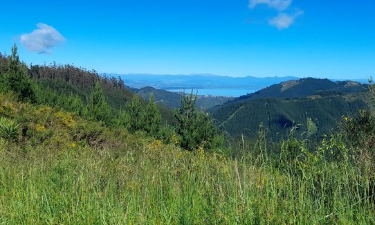
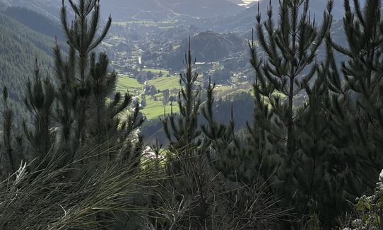
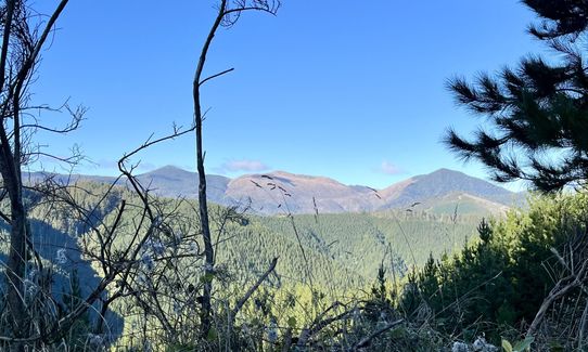
Open ridges/tops
Farm Road / 4WD Track
Average Uphill Gradient: +8.0%
Average Downhill Gradient: -8.3%
VIP Feature: Send this route to your Garmin account so you can follow the course on your Garmin device.
Login as a VIP to see the trailhead information.
3:30
Slow
2:30
Moderate
2:00
Fast
A permit should be sought from Tasman Pine, there is no cost to runners, permit can be obtained from the Tasman Pine website
From the mountain bike park go through the main vehicle barrier and follow the main track. There are a TON of MTB tracks that are dual-use council tracks, you can run on these, just be sensible i.e. don't go UP a downhill MTB track because they won't be expecting you! Keep an eye on the road signs.
Going clockwise, the route starts on Sharlands Road and changes to Central Road, download the map/GPX because there's a lot of extra exploring that can be done.....accidentally ;) The route finishes by the place you started. This can be done anti-clockwise, but does mean that you end on a slightly steeper (but still totally runnable) descent that might smash the legs a bit more than clockwise.
If you know of any public toilets near the trail start or on the route, please login and then let us know so we can update this section.
100% free parking.
5 km
9 minutes
Yes
Yes
Name: Tasman Pines - A permit (free to runners) can be obtained from the Tasman Pine website: https://www.tasmanpine.co.nz/permit-forms
Moderate.
Very patchy.
Personal Locator Beacon (PLB), Whistle, First aid kit, Extra food for emergencies, Cellphone, Map
There is a stream at the start, but this is a working pine forest, so you might want to avoid it. Closest free water is at the Botanics/Centre Of NZ - Milton/Hardy Street.
Good all year around, rain or shine.
Trail Legend
Login as a VIP to become a Trail Legend. Learn about Trail Legends.
Fastest Known Times (FKTs)
You and Sharlands-Central Road Loop
As a VIP member you can record private notes for this trail, see all of your times and more.
Already have an account? Login now
Definitely one of my favourite non-technical longer training routes. I'm always a fan of a loop, good runnable gradients, and some views. Easy nav, but best using the gpx or having a map the first time around, as there are a few roads up there.
May 22, 2022
Good GPx, accurate description. I would have preferred some single trail.. but the run delivered exactly what it promised!
November 14, 2021
A good solid running loop all on gravel roads, mostly easy navigation with a couple of checks as there are numerous forestry roads along the way. Some nice views of the forestry and great views towards Cable Bay from the high point.
May 5, 2020
Send to your phone
Scan the below QR code to open this trail on your phone.

Tip: position the QR code in your phone camera screen.


