Front country - easily accessible
Loop
Undulating, small hills only
Native bush
Open ridges/tops
Other
Farm Road / 4WD Track
Moderate Single Track
Technical Single Track
Average Uphill Gradient: +10.1%
Average Downhill Gradient: -10.2%
Login as a VIP to see the trailhead information.
4:30
Slow
3:30
Moderate
2:00
Fast
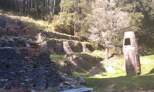
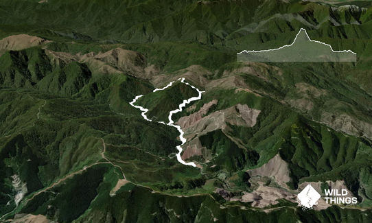
Head past the caretaker’s house up the 4WD road that climbs above the true left of Roding River. Continue along the road and cross Roding River (~2km), the first of a few wet feet crossings. The Smelter is further along the road (~4km mark).
Continue along the 4WD road until it ends at United Creek at the beginning of the mineral belt (~6km mark). Cross the creek and follow the track as it winds up a rocky gully through scrubby native bush to United Mine. This track is marked with orange triangles and sliver strips.
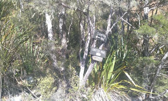
At the signposted No.2 Level Shaft (~7km mark), the track heads to the left side of the gully - follow the Champion Mine sign. Once out of the gully and onto a spur, the track is well-defined and climbs steeply through the mineral belt to the top of the ridge. A rocky knob marks the 739 m high point.
The track drops along the ridge and enters beech forest, zig-zagging down toward Champion Mine. At the valley floor you will reach the junction with the tramway, turn left for the Champion Mine (200m). After Champion Mine, come back to this junction and continue straight along the tramway. Take a left turn (signposted Carpark) for the track that drops steeply down, cross the Roding River again and connect back with the 4WD road. Left here to head back to the car park.
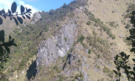
Champion Smelter, and Champion and United copper mines. Nelson Mineral Belt.
If you know of any public toilets near the trail start or on the route, please login and then let us know so we can update this section.
No public transport. There is a long drop, information signage, and intention book at near the track head.
0 km
0 minutes
No
No
Moderate.
The single track is marked with orange triangles and sliver strips.
Very patchy.
Personal Locator Beacon (PLB), Whistle, First aid kit, Extra food for emergencies, Cellphone, Map
Water from streams available before & after the climb.
Several unbridged river crossings, so it cannot be done when flows are high.
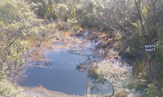
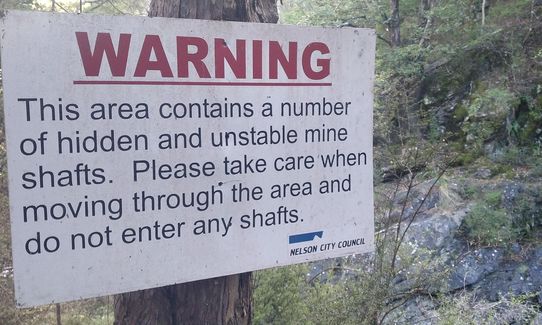
The mining areas contain abandoned shafts - keep to the track.
Several unbridged river crossings, so it cannot be done when flows are high.
The Lunch Stop
111 Pascoe St, Annesbrook, Nelson
Excellent pies
Trail Legend
Fastest Known Times (FKTs)
You and Champion Circuit
As a VIP member you can record private notes for this trail, see all of your times and more.
Already have an account? Login now