Urban fringe
Loop
Undulating, some big hills
Dog Friendly
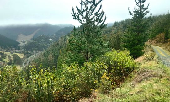
Plantation/exotic forest
Riverside
Open farmlands
Open ridges/tops
Gravel Road
Easy Single Track
Moderate Single Track
Average Uphill Gradient: +9.3%
Average Downhill Gradient: -9.3%
VIP Feature: Send this route to your Garmin account so you can follow the course on your Garmin device.
Login as a VIP to see the trailhead information.
2:00
Slow
1:30
Moderate
1:00
Fast
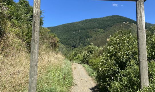
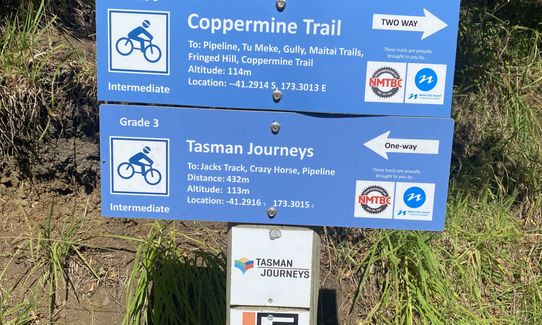
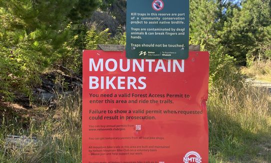
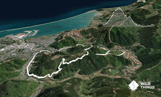
Starting at Codgers, work your way up the well graded track alongside a fair few mountain bikers. Turn left up a track indicated by a blue sign called 'Tasman Journeys' following Jack's Track to the road.
Turn right at the road and follow along for approx 1km until you hit the large Firball skid-site (4 paths lead off here-you are going straight. You could venture left here up to the trig (500m) for amazing views over Nelson and return the way you came. The route however takes you straight through though, following Fireball Road down towards the Maitai River. A well groomed 4wd road leads you gently down for 2-3 km. At one point near the bottom, you rather cruelly run back gently uphill alongside the track in a sort of 'U' shape separated by 15 metres. When you reach the tip pf the 'U' take the blue marked sign down to the Maitai River along a single track.
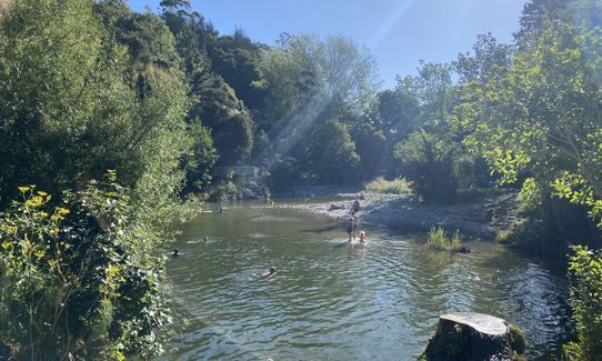
At the bottom you meet the Maitai Golf course - turn left through an obvious gate and follow this gentle and beautiful track for 4km alongside the river and through farm land.
At the second Nile Street bridge take a sharp left along Nile street and onto the streets of Nelson. Take a left onto Harper Street, a right onto Manuka Street and a left up to Tasman Street which will lead you for 1.7km to your car parked at Codgers.
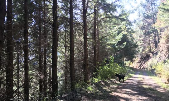
Amazing views up on Firball Trig over Tasman Bay, best in town. A myriad of sweaty mountain bikers to overtake on your way up towards Firball skid-site. Gentle 4km along Maitai river to finish.
205 Milton Street & Black Hole Public Toilet which can be accessed near the end of the run across the Maitai River bridge.
Plenty
3 km
7 minutes
Yes
No
Moderate.
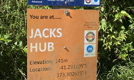
Be watchful to read the MTB Blue signs as they have useful track info on them.
Generally good.
Windproof jacket, Whistle, First aid kit, Extra food for emergencies, Cellphone, Map
Carry with you
Mtb tracks can get muddy during rainy times.
Trail Legend
Login as a VIP to become a Trail Legend. Learn about Trail Legends.
Fastest Known Times (FKTs)
You and Brook-Fireball-Maitai Loop
As a VIP member you can record private notes for this trail, see all of your times and more.
Already have an account? Login now
Nice wee loop. Very runnable graded uphill with all of the switchbacks. Glad I did have the gpx on the watch as there are a lot of junctions. I went when the weather was very rainy, and only got wet feet on the decent down to the Maitai. Running along the River was nice, great infrastructure improvements which meant no issues when the river was in flood. Lots of cyclists out and about so recommend not wearing in ear headphones. Shokz were perfect.
October 28
Very runnable, nice surfaces and easy gradients. I ran it today, 19 Nov '22, and was able to run on the downhill from the 'tip of the U'. However, the Matai Valley Walkway section from Nile St to Clouston Bridge is still closed.
November 19, 2022