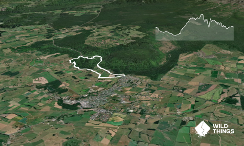
Relatively flat, diverse, potentially muddy, but lots of fun.
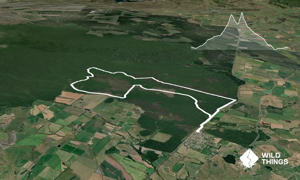
Starting in Rangataua, either follow the 4x4 track next to the train tracks from the western end of the village, or head down towards the oxidation ponds at the end of Nei St. Check for trains before crossing the bridge, or cross the stream if your happy to get wet feet from the get go.
Once on the eastern side of the rail bridge, you need to cut into the bush on your left, the trailhead is about 500m past the bridge.
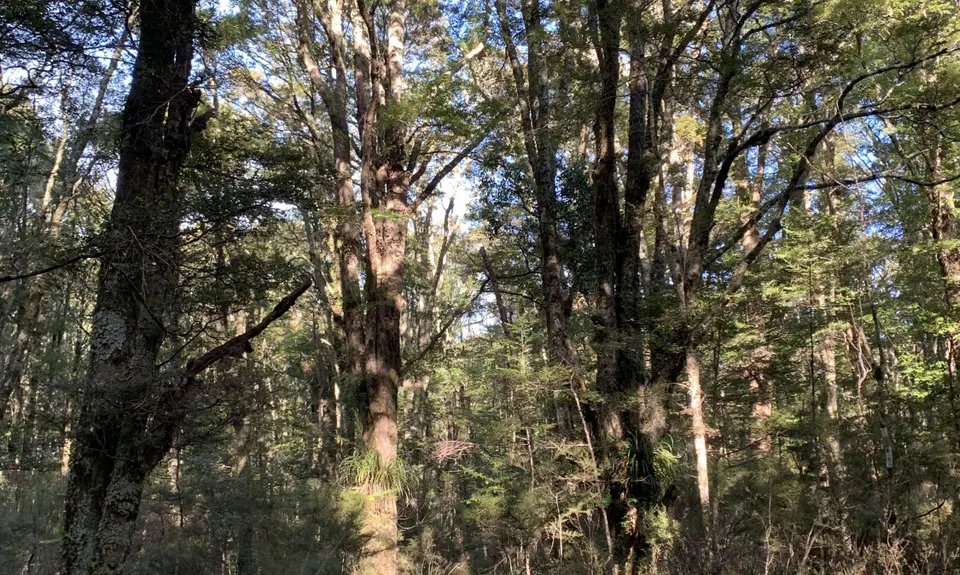
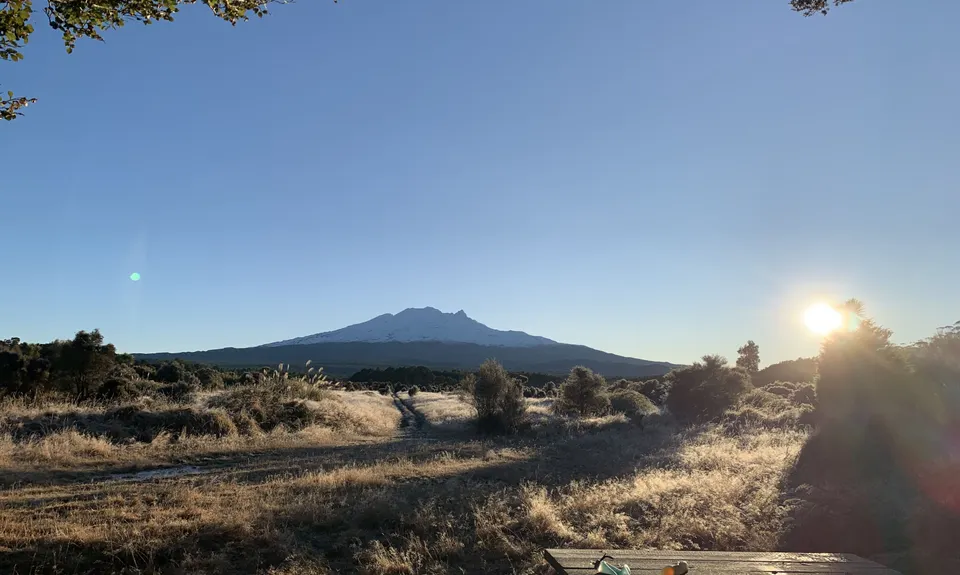
Once on the trail, you have 2km of fun running through some old 4x4 tracks, the trail is easy to follow and you can easily duck around the bogs. You then come to a clearing with awesome views of Mt Ruapehu. Continue towards the mountain on the old gravel track for 1.6km until you get to a T intersection. Turn left here onto the forestry road, heading west for about 1.2km before veering to the right and heading north (there are a few other tracks around here but the main one is obvious).
From here it is a 2.3km of gentle uphill on easy 4x4 track with farmland on your left, and forest on your right. The track continues on, but after that 2.3km, veer to the right and the track turns into a less used 4x4 trail and for the next 4.8km you have some fun trail to follow. You will cross a stream which is beautiful to drink, and conveniently placed about half way through the loop.
You will come out onto a gravel forestry road, turn left here (or you can turn right and return to that T intersection and backtrack to Rangataua) and run along the road for about 700m where you will see a DOC sign on your right for East Track, sometimes referred to as middle track. This tracks runs straight for 3.5km and is a bit of fun, be prepared to get a little dirty if its been wet though.
Once you break out of the bush, you will be near the train tracks again, turn right and follow your nose back to Rangataua.