Last Updated: 14th Jan 2026
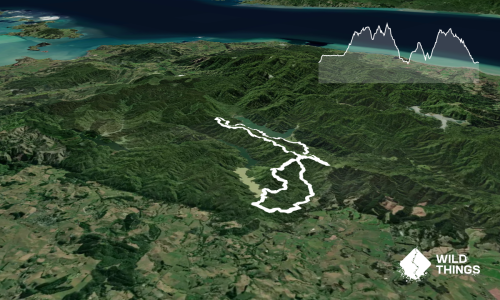
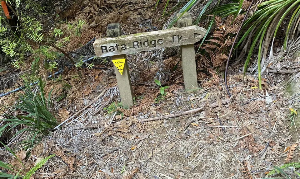
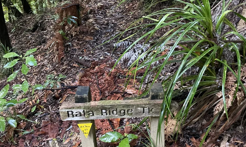
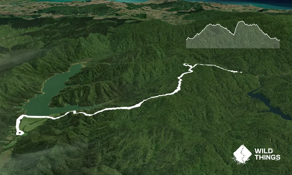
Rata Ridge - Hunua
Last Updated: 14th Jan 2026
Open
Grunt Factor: 21 ?
Gnarl Factor: 34 ?
14.0km
650m
650m
450m
Trail Map
This Topo layer only covers NSW/ACT.
Switch to another map layer when viewing outside this area.
Switch to another map layer when viewing outside this area.