Last Updated: 31st Oct 2024
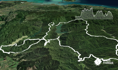
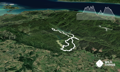
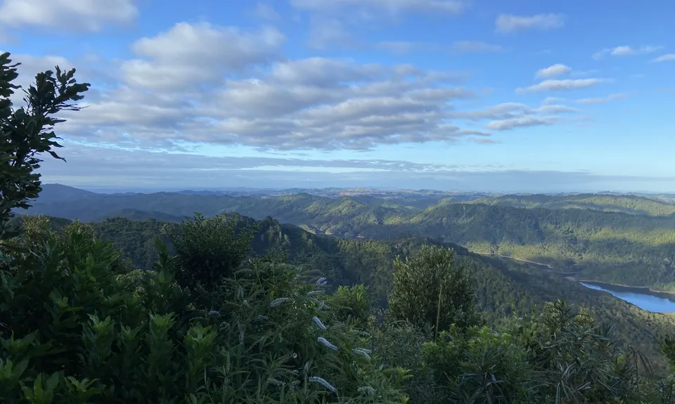
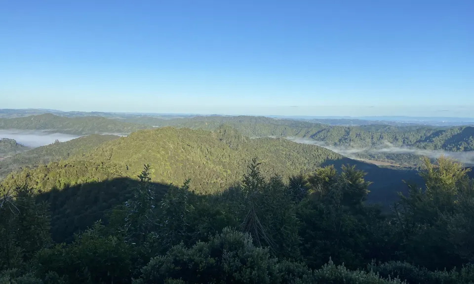
Ernie's loop
Last Updated: 31st Oct 2024
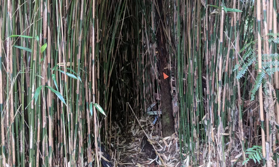
Open
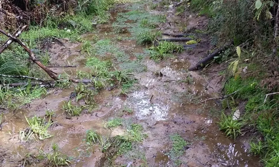
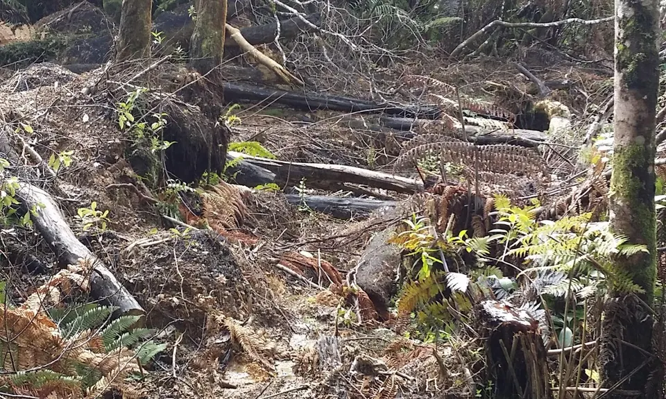
Grunt Factor: 19 ?
Gnarl Factor: 30 ?
15.0km
660m
660m
490m


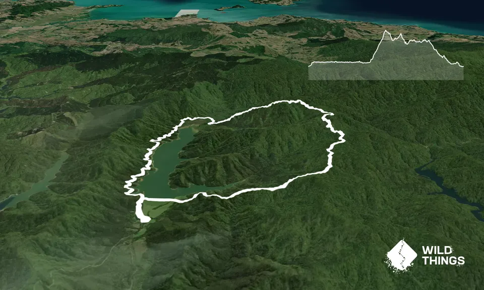
Trail Map
This Topo layer only covers NSW/ACT.
Switch to another map layer when viewing outside this area.
Switch to another map layer when viewing outside this area.