Last Updated: 8th Feb 2024
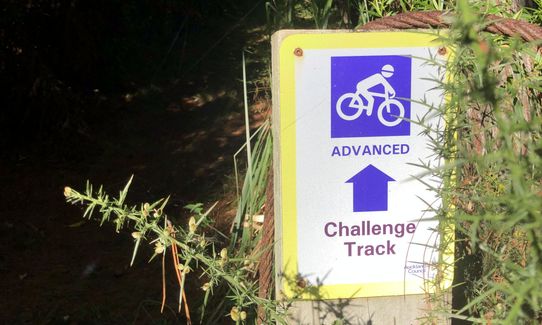
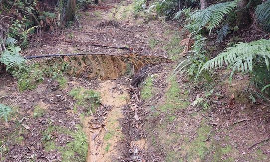
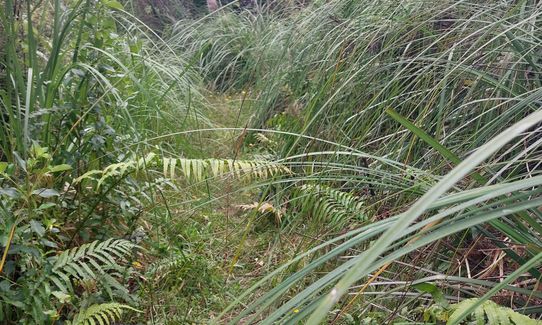
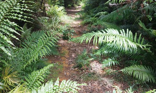
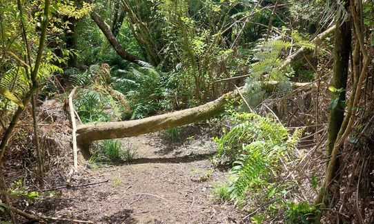
Challenge Track
Last Updated: 8th Feb 2024
Open
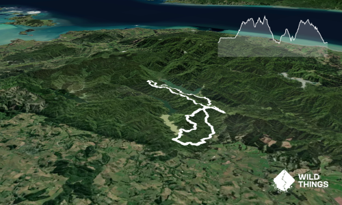
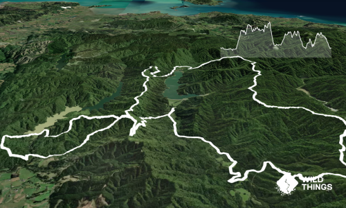
Grunt Factor: 18 ?
Gnarl Factor: 42 ?
10.0km
560m
560m
384m


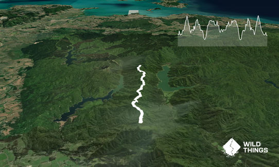
Trail Map
This Topo layer only covers NSW/ACT.
Switch to another map layer when viewing outside this area.
Switch to another map layer when viewing outside this area.