Last Updated: 21st Sep 2025
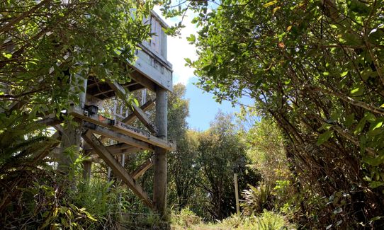
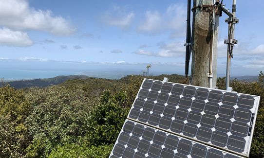
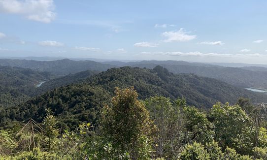
Hunua Magic
Last Updated: 21st Sep 2025
Grunt Factor: 44 ?
Gnarl Factor: 59 ?
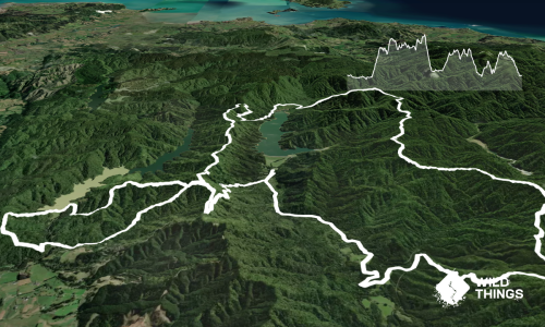
24.2km
1500m
1500m
700m
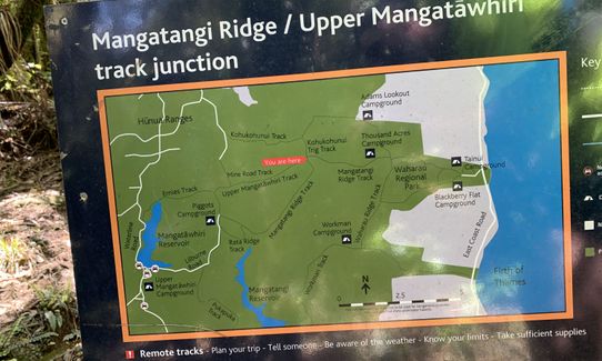
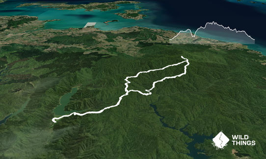
Trail Map
This Topo layer only covers NSW/ACT.
Switch to another map layer when viewing outside this area.
Switch to another map layer when viewing outside this area.