Last Updated: 3rd Aug 2025
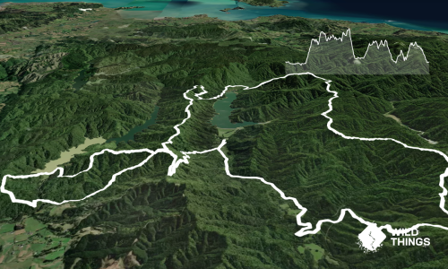
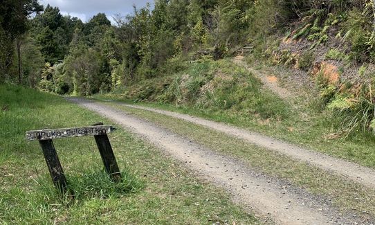
Pukapuka Track
Last Updated: 3rd Aug 2025
Grunt Factor: 24 ?
Gnarl Factor: 46 ?
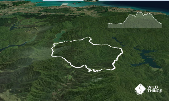
15.5km
750m
750m
Last Updated: 3rd Aug 2025
Last Updated: 3rd Aug 2025
Grunt Factor: 24 ?
Gnarl Factor: 46 ?
15.5km
750m
750m
Front country - easily accessible
Loop
Undulating, some big hills
Dog Friendly
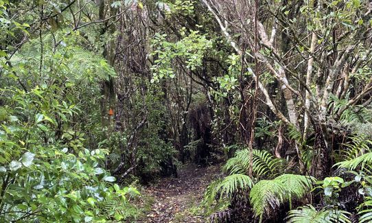
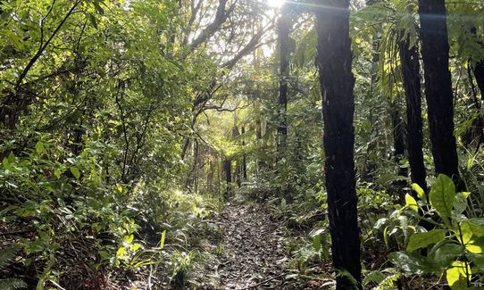
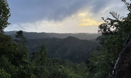
Native bush
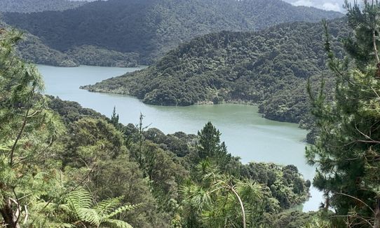
Riverside
Gravel / Boardwalk
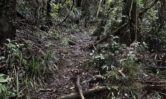
Technical Single Track
Average Uphill Gradient: +9.70%
Average Downhill Gradient: -9.70%
VIP Feature: Send this route to your Garmin account so you can follow the course on your Garmin device.
Become a VIP Member to see the trailhead information.
4:00
Slow
3:00
Moderate
2:00
Fast
From the Upper Mangatawhiri Carpark head south into the grass area, you’ll soon reach a cleaning station. Clean your shoes and continue straight across the bike skills area.
After a couple of hundred metres, veer right onto the road and continue straight along the road. From here there will be a couple of forks, keep left at both of these and head up the hill.
After a while you’ll reach a sign saying Pukapuka Track, pointing to the left. Follow this and head along the track. Here you’ll have lots of technical trail with lots of tree roots that can get muddy in winter.
There are plenty of orange DoC arrows to follow but please be aware the trees have fallen in some areas so you may need to pick around some of these. Eventually the track comes out onto Lilleburn Road, take a left and run down the hill back to the Carpark.
This trail includes the peak Pukapuka.
If you know of any public toilets near the trail start or on the route, please login and then let us know so we can update this section.
No public transport but plenty of parking for your vehicle.
15 km
20 minutes
Yes
No
Easy.
Very patchy.
Seam-sealed waterproof jacket, Whistle, First aid kit, Extra food for emergencies, Cellphone, Map
There’s a campsite prior to turning onto the Pukapuka track with a water tank. Take the track to the right of Pukapuka to access this. There is no other water on the trail.
It gets muddy after plenty of rain.
Do you have a suggestion on where to go afterwards for the best coffee / cake / breakfast / brunch / beer?
Trail Legend
Login as a VIP to become a Trail Legend. Learn about Trail Legends.
Fastest Known Times (FKTs)
You and Pukapuka Track
As a VIP member you can record private notes for this trail, see all of your times and more.
Already have an account? Login now
These overlap with this trail to some degree. You may wish to combine them but please note that to qualify for FKTs on these runs you should record a separate activity for each.
Send to your phone
Scan the below QR code to open this trail on your phone.

Tip: position the QR code in your phone camera screen.
Plan smarter, stay motivated, track your progress, and unlock the full Wild Things experience — while saving along the way.