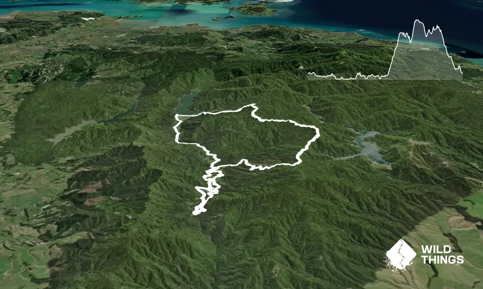
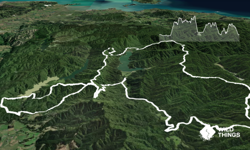
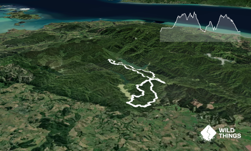
The Moumoukai Valley Pukapuka Loop is a 23 km route through the southern Hūnua Ranges, combining the open valley landscape around Lower Mangatāwhiri with a substantial climb into the forested Pukapuka hills.
The route begins at the Upper Mangatāwhiri campsite and initially follows a mixture of gravel roads, farm access roads, open grassland and valley tracks. This opening section is relatively low-lying and provides a gradual introduction to the route, with views across the valley and sections alongside streams and regenerating vegetation.
The character changes as the route heads toward Pukapuka. The trail climbs steadily into the surrounding hills, with steeper gradients, forested singletrack, roots, mud and potentially slippery clay. The upper section is considerably more secluded than the valley portion and provides the main physical challenge of the loop. The route reaches approximately 508 m elevation before descending back toward the lower valley.
The route should be treated as a back-country outing. Mobile reception is unreliable, and runners should carry their own food, water and navigation equipment. Conditions can change quickly following rain, with muddy tracks, slippery roots, stream crossings and fallen vegetation possible.
Moumoukai Valley Lower and Upper Mangatāwhiri landscapes Pukapuka hills Native bush and regenerating vegetation
Upper Mangatawhiri Campground
A vehicle is effectively required. Parking is available around the Upper Mangatāwhiri campground/main car-park area. The main park gates are listed as open from 6:00 am to 9:00 pm during daylight saving time and 6:00 am to 7:00 pm outside daylight saving time.
15 km
25 minutes
No
Hard.
The individual tracks are generally identifiable, but the route links numerous roads and tracks in a relatively remote part of the Hūnua network. A GPX track or detailed map is recommended rather than relying solely on memory or trail markings.
Streams are present, but should be treated if used, otherwise carry sufficient water for the full run.
The route can be run year-round, but wet weather can substantially increase difficulty. Expect muddy tracks, slippery roots, wet clay and swollen streams after significant rain. Winter also brings shorter daylight hours and colder, wetter conditions.
Mud and slippery clay
Wet and slippery roots
Stream crossings
Steep climbs and descents
Limited cellphone coverage
Fallen trees or storm damage
Track closures/reroutes
The information provided is a guide only. Conditions, access and hazards can change, so use your own judgement and check current local information before heading out. Make sure the route or location is suitable for your experience, fitness and equipment, and check any access restrictions or permissions that may apply.
Do you have a suggestion on where to go afterwards for the best coffee / cake / breakfast / brunch / beer?
These overlap with this trail to some degree. You may wish to combine them but please note that to qualify for FKTs on these runs you should record a separate activity for each.
We don't store or share your location; it's only used for these features. You can continue without it, just without distance sorting and live map features.
Send to your phone
Scan the below QR code to open this page on your phone.
Tip: position the QR code in your phone camera screen.