Last Updated: 28th Oct 2025
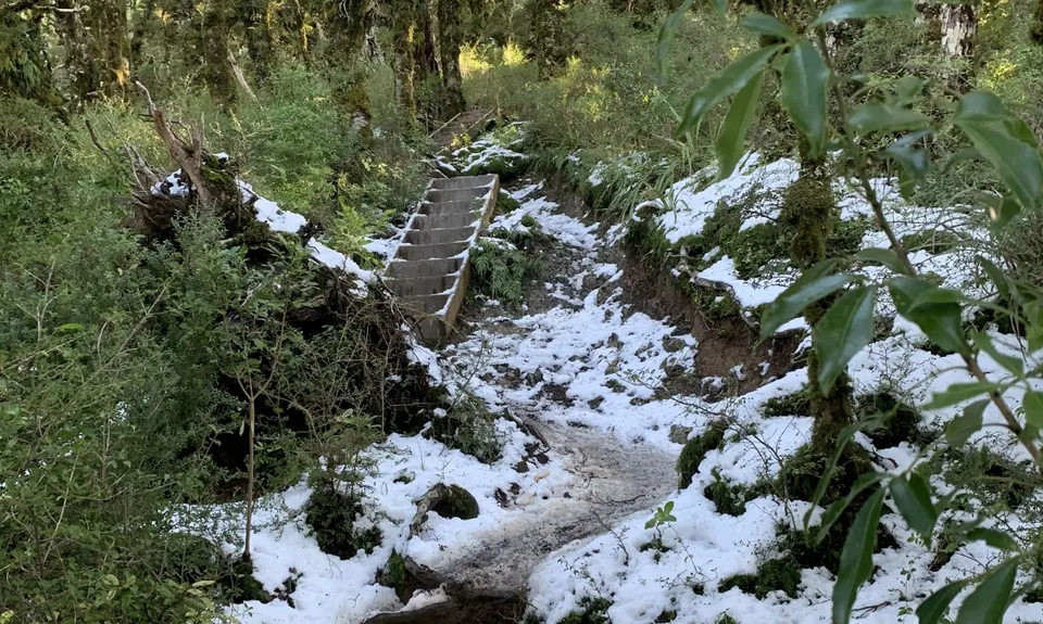
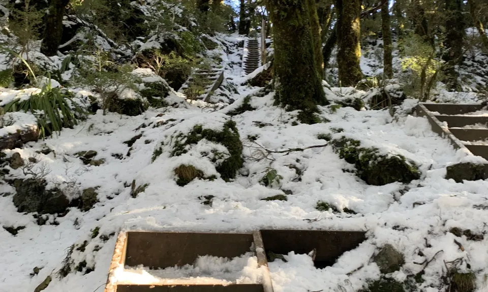
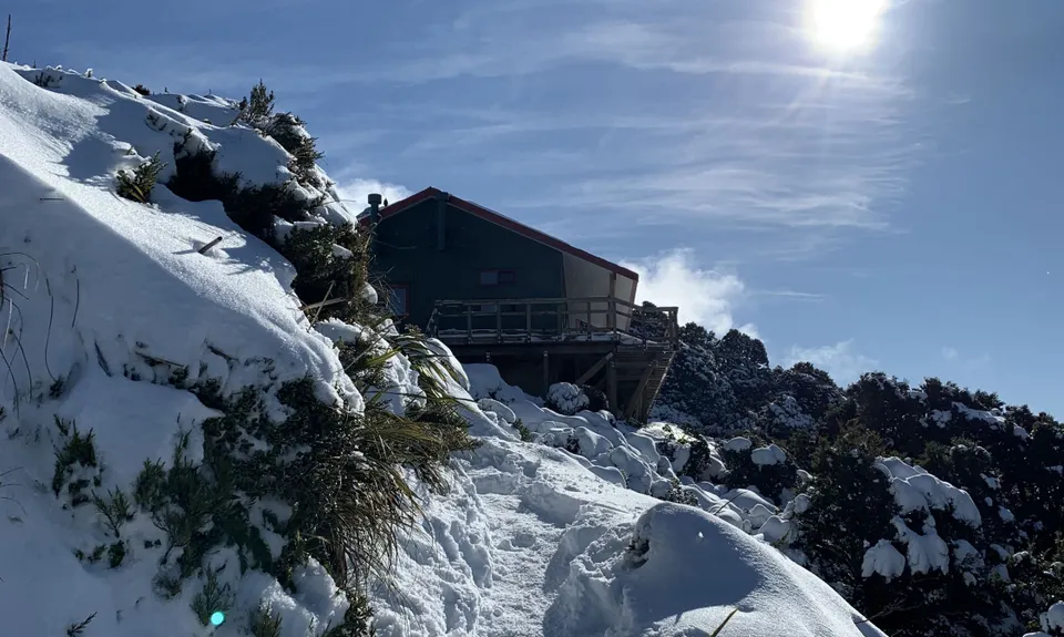
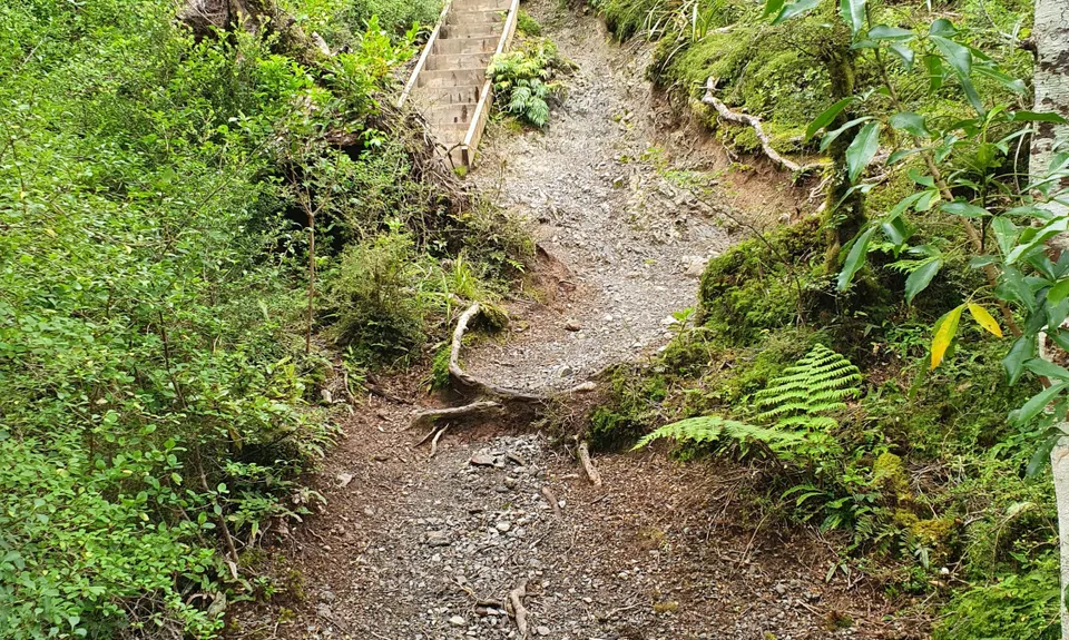
Powell Hut
Last Updated: 28th Oct 2025
Open
Grunt Factor: 41 ?
Gnarl Factor: 58 ?
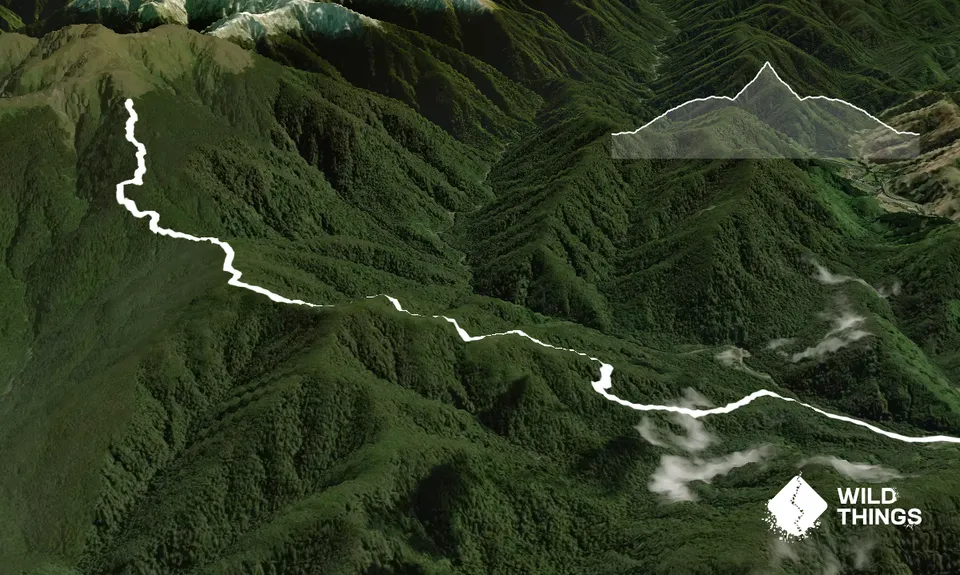
15.0km
1159m
1159m
1200m
Trail Map
This Topo layer only covers NSW/ACT.
Switch to another map layer when viewing outside this area.
Switch to another map layer when viewing outside this area.


