Last Updated: 21st Sep 2023
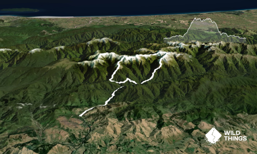
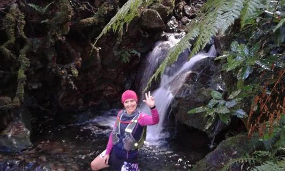
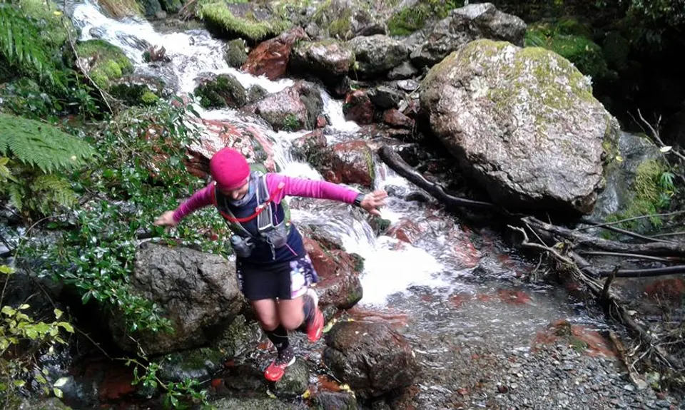
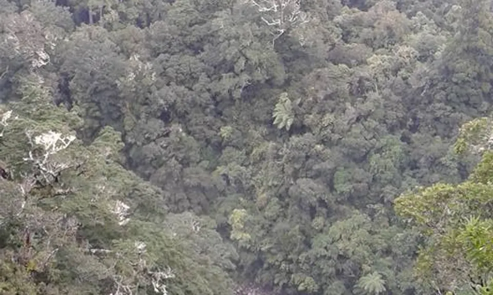
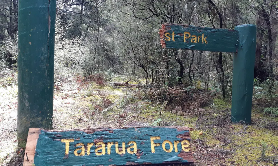
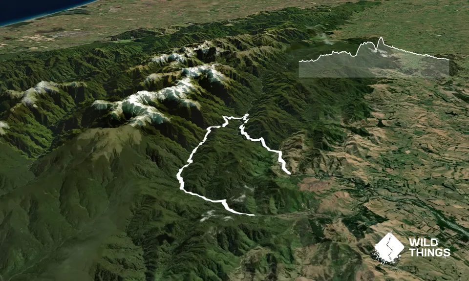
Kaituna to Holdsworth Lodge
Last Updated: 21st Sep 2023
Open
Grunt Factor: 52 ?
Gnarl Factor: 71 ?
21.4km
1270m
1250m
697m
Trail Map
This Topo layer only covers NSW/ACT.
Switch to another map layer when viewing outside this area.
Switch to another map layer when viewing outside this area.