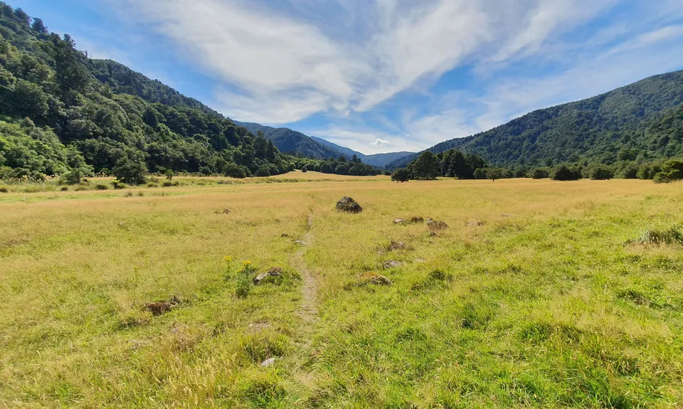
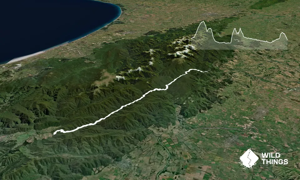
Follow the Gentle Annie Track as it climbs towards Mt Holdsworth before steeply dropping down the Totara Creek Track to Totara Flats Hut (NB: some Topo maps still have the Totara Creek Track dropping into Totara Creek about 1.5km from the turn off. Track now runs over point 575 and down the ridge with point 496).
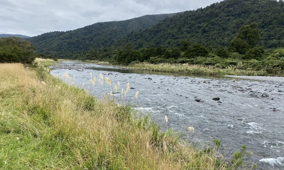
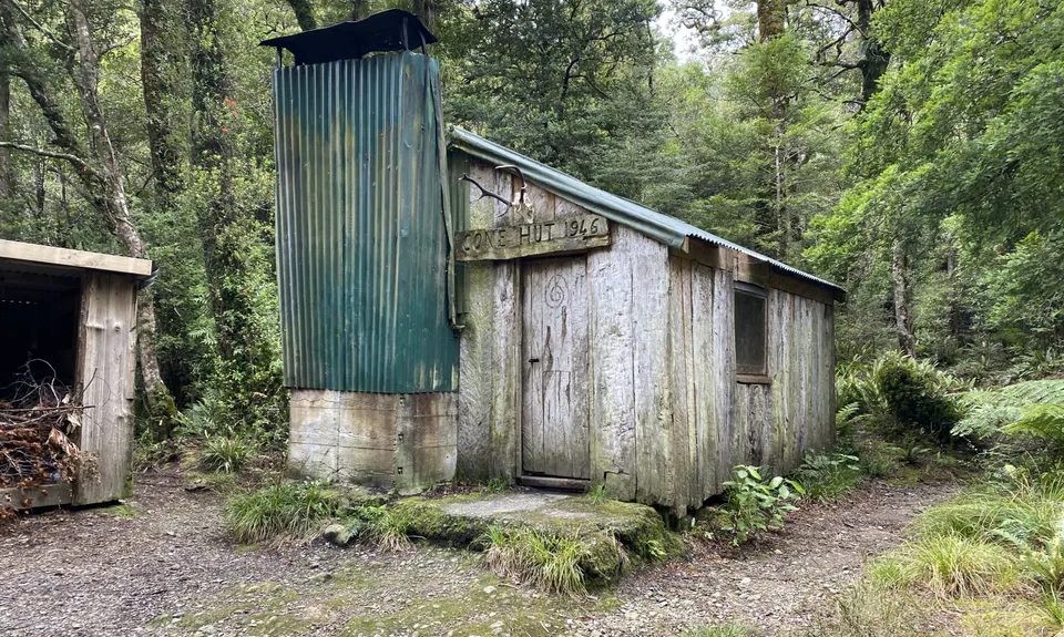
From Totara Flats Hut pick up the trail behind the hut and follow the track down the Waiohine River. It occasionally heads uphill away from the river to rejoin later. The Cone Saddle Track is signposted but can be overgrown. Take caution at the saddle to take the right track down to Cone Hut. From Cone Hut the track is wide and easy to follow all the way to the Kaitoke road end. There are a few track deviations due to storm damage, but these are well marked.
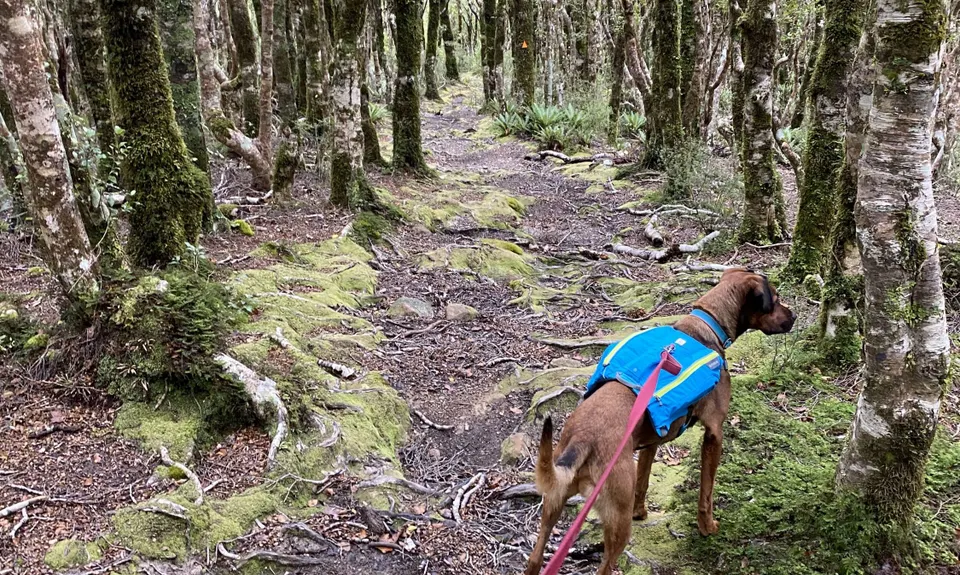
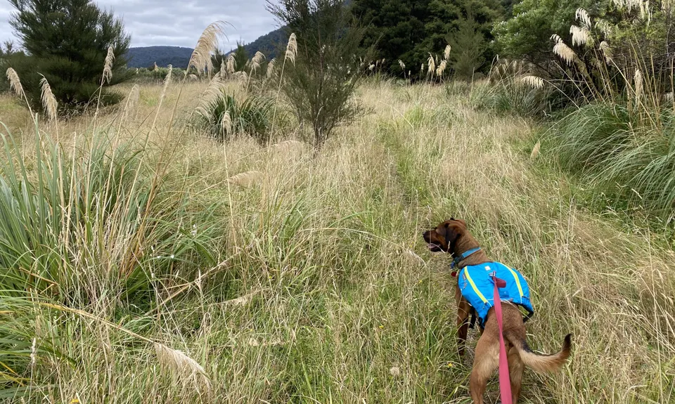
The track covers mostly typical Tararua beech and broadleaf forest the whole way. If you know your plants, look out for mistletoe around the Holdsworth track section. You dip into two major river valleys - the Waihohine and the Tauherenikau. Bird life can be abundant depending on the time of day and weather with whitehead, rifleman, bellbird, tui, woodpidgeon, shining and long tailed cuckoo relatively common. Kaka may also be seen (or heard).
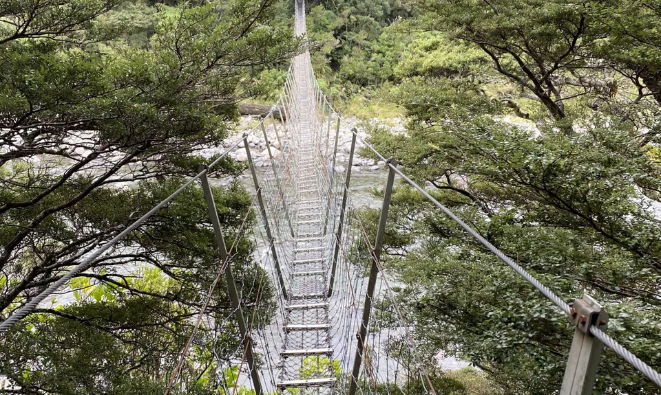
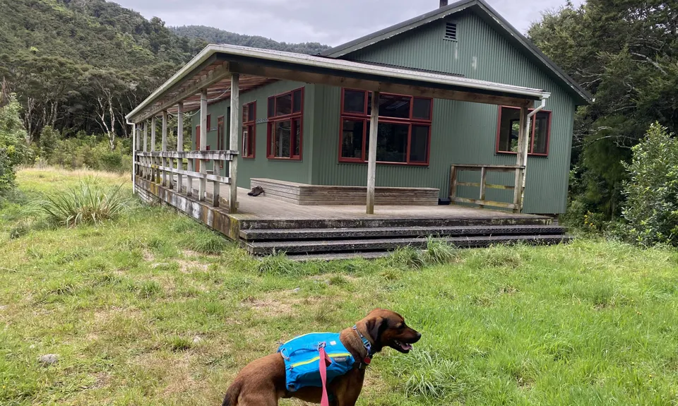
There are several swing bridges along the route, and three huts (Totara Flats Hut, Cone Hut, and Tutuwai Hut). Cone Hut is the second oldest hut in the Tararuas (built in the 1940's) and one of the best surviving examples of a 'slab hut' in New Zealand.
If you know of any public toilets near the trail start or on the route, please login and then let us know so we can update this section.
The Holdsworth Road end car park is reasonably safe and is a popular and busy spot. The Kaitoke end is less safe and for a small fee you can overnight park your car at Kiwi Ranch where a trail take you up to the main track.
21 km
20 minutes
Unknown
No
Moderate.
Most of the track is a straight forward DOC track which is popular with trampers and therefore is well trodden, has plenty of orange triangles and sign posts. Just pay attention when heading over Cone Saddle in the Holdsworth-Kaitoke direction that the Cone Saddle Track can sometimes be slightly overgrown and easy to miss when crossing streams. Also at Cone Saddle the signage can be a bit ambiguous... make sure you're heading on the right track.
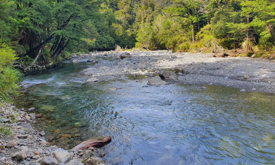
Water is drinkable from all of the streams although it is recommended by DOC to treat the water (I would happily drink the water from any fast moving side stream I came across, of which there are plenty). The huts all have water tanks.
Parts of the track are always muddy no matter what time of the year. Plenty of water available and it is under tree cover most of the way.
This track is in the Tararuas which is notorious for foul weather. Be prepared for anything as even in the bush things can turn nasty even in the middle of summer. Check the weather for any significant rain (prior and expected) as this can cause any stream crossing to become impassable (of which there are many).
Do you have a suggestion on where to go afterwards for the best coffee / cake / breakfast / brunch / beer?
Did this run on the weekend and we absolutely loved it! Beautiful bush, some big climbs but quite runnable along the river flats. It was really wet when we left Mount Holdsworth car park but the sun was out by the time we made it to Totara Flats. We will be back for this one!
For a 30km plus run in the Tararuas this has to be one of the easiest. The majority of the run is along two flat river valleys, and it never gets up to the tops. Can be run in quite foul weather (you hear the wind on the tops when in the Tauherenikau Valley, yet the air can be relatively still). Just beware that heavy rain can swell the creeks that you have to cross, and you can become trapped easily.Best run Holdsworth Kaitoke, or else the biggest climb comes at the end.
These overlap with this trail to some degree. You may wish to combine them but please note that to qualify for FKTs on these runs you should record a separate activity for each.
We don't store or share your location; it's only used for these features. You can continue without it, just without distance sorting and live map features.
Send to your phone
Scan the below QR code to open this trail on your phone.
Tip: position the QR code in your phone camera screen.