Last Updated: 14th Sep 2025
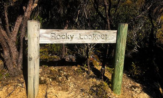
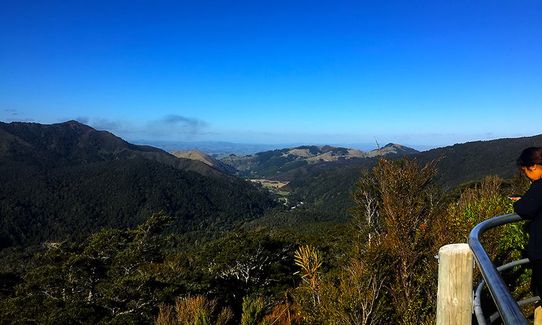
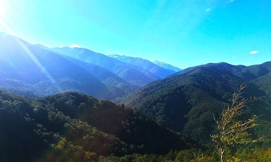
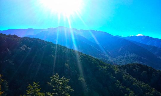
Hooper Loop - Mt Holdsworth
Last Updated: 14th Sep 2025
Open
Grunt Factor: 19 ?
Gnarl Factor: 47 ?
12.0km
480m
480m
770m


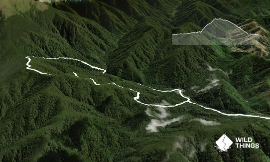
Trail Map
This Topo layer only covers NSW/ACT.
Switch to another map layer when viewing outside this area.
Switch to another map layer when viewing outside this area.