Last Updated: 9th Nov 2024
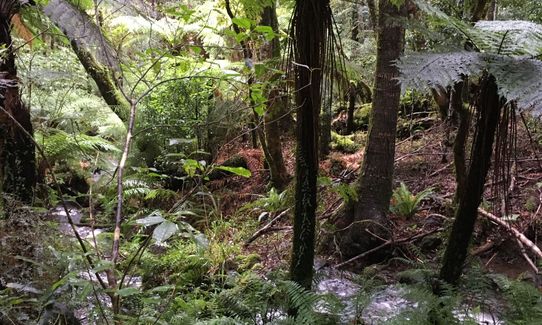
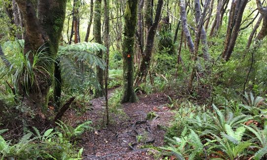
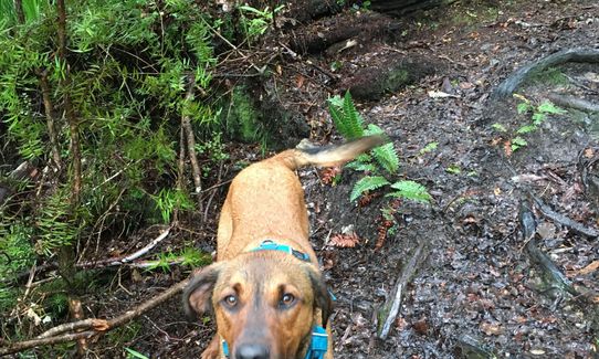
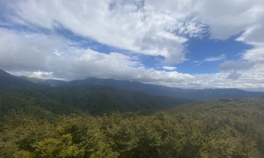
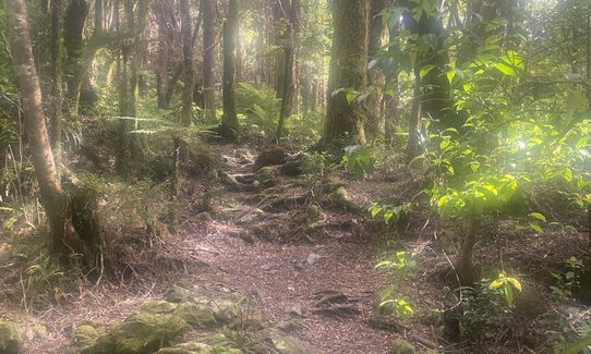
Blue Range Hut
Last Updated: 9th Nov 2024
Open
Grunt Factor: 31 ?
Gnarl Factor: 90 ?
7.7km
750m
750m
914m


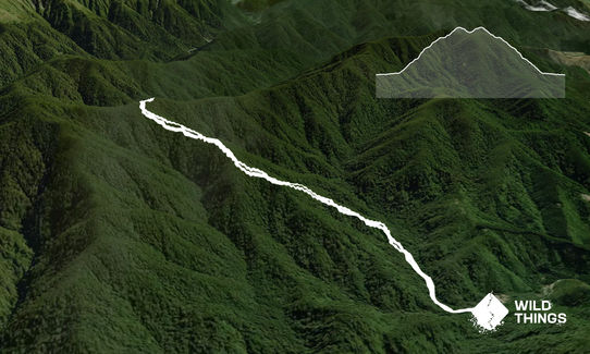
Trail Map
This Topo layer only covers NSW/ACT.
Switch to another map layer when viewing outside this area.
Switch to another map layer when viewing outside this area.


