Last Updated: 21st Sep 2023
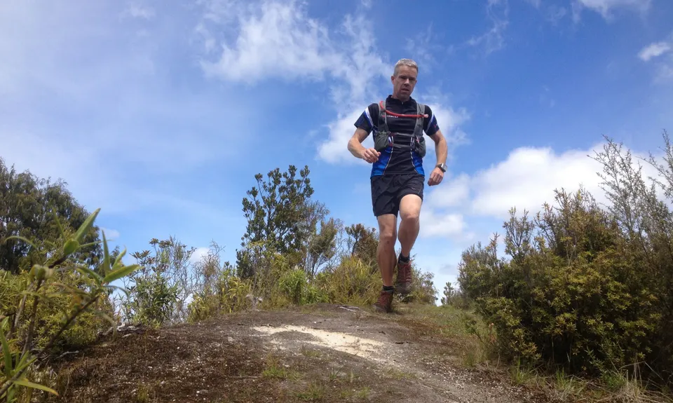
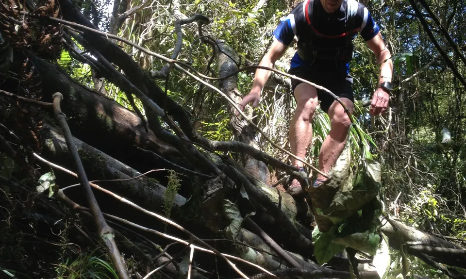
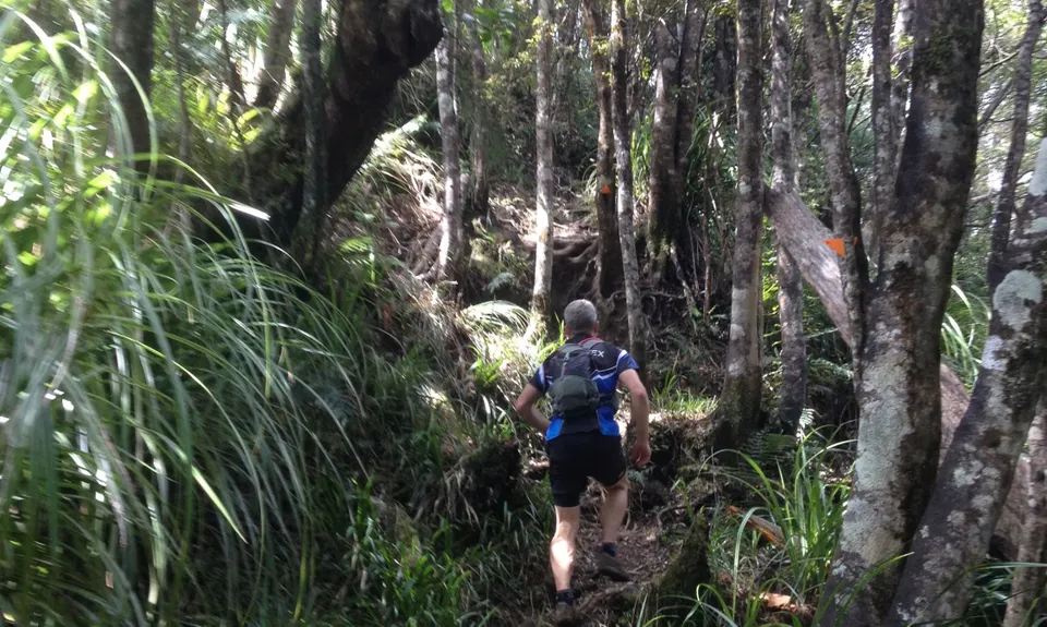
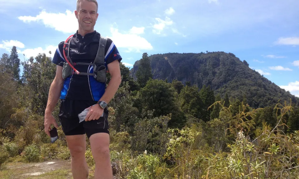
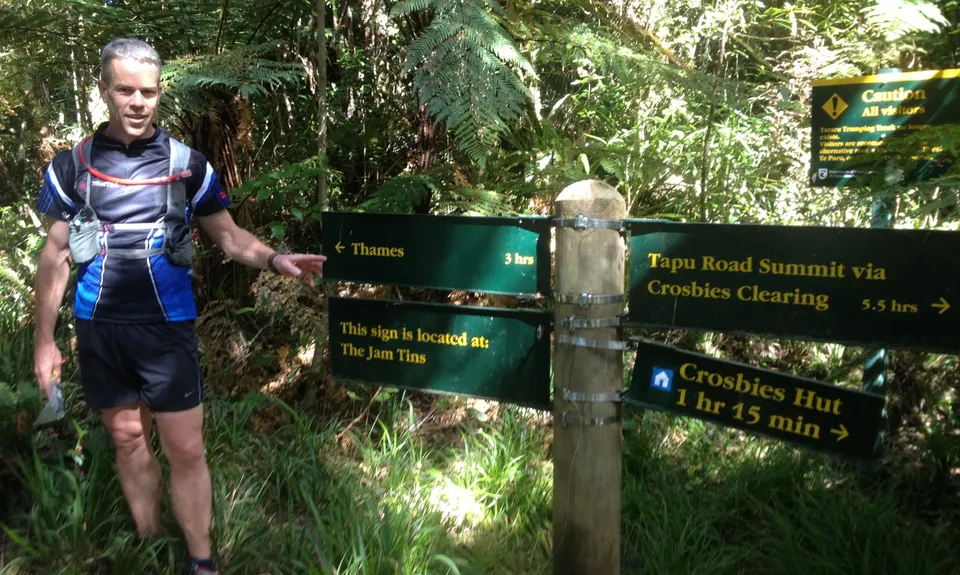
Thames Over The Top
Last Updated: 21st Sep 2023
Open
Grunt Factor: 50 ?
Gnarl Factor: 56 ?
25.0km
1100m
1040m
650m
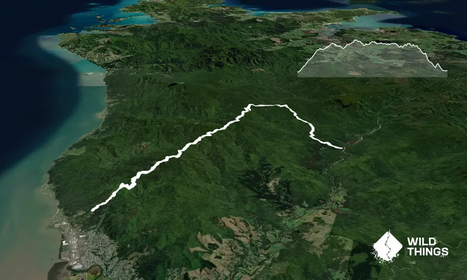
Trail Map
This Topo layer only covers NSW/ACT.
Switch to another map layer when viewing outside this area.
Switch to another map layer when viewing outside this area.


