Last Updated: 26th Aug 2025
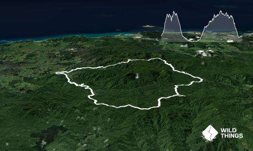
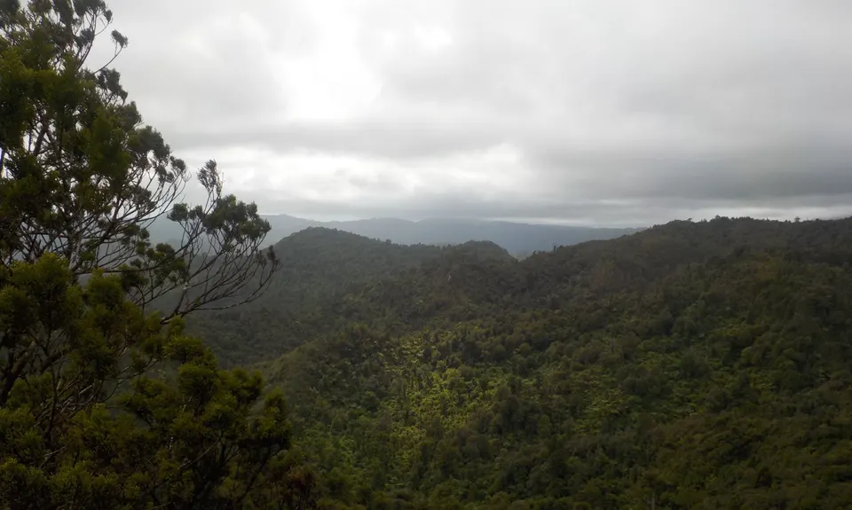
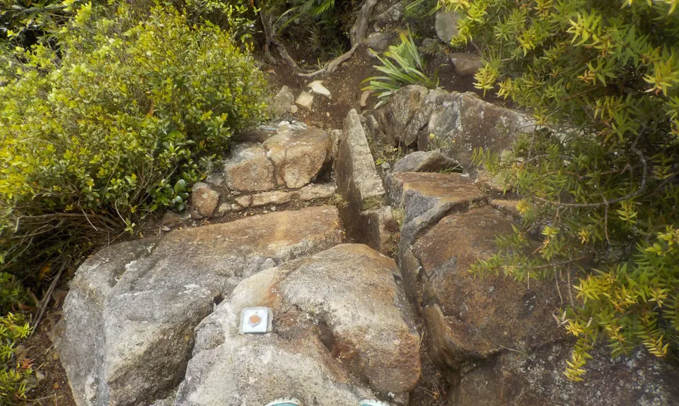
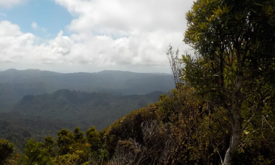
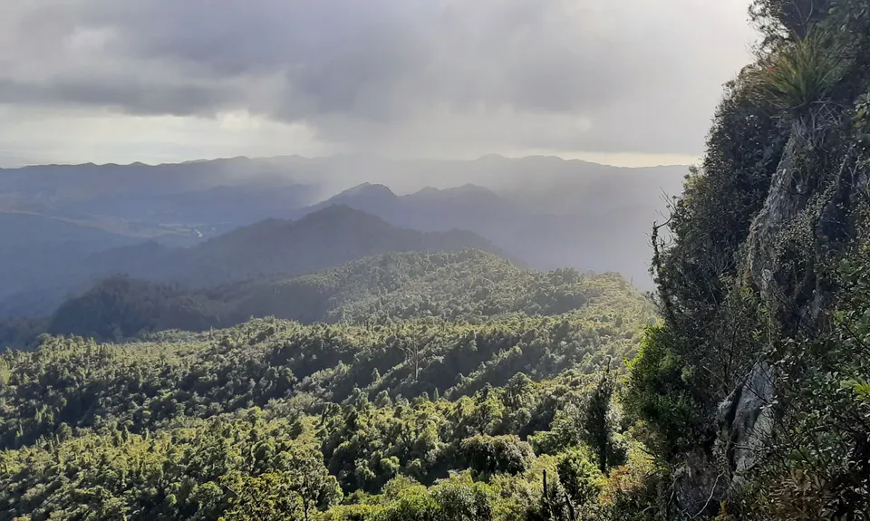
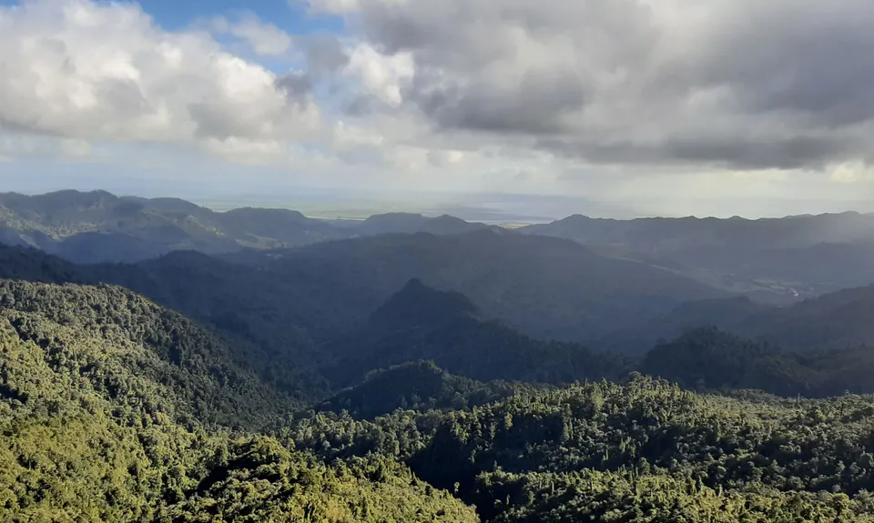
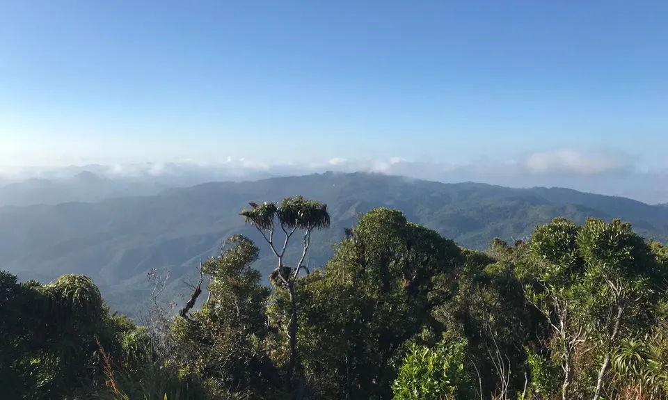
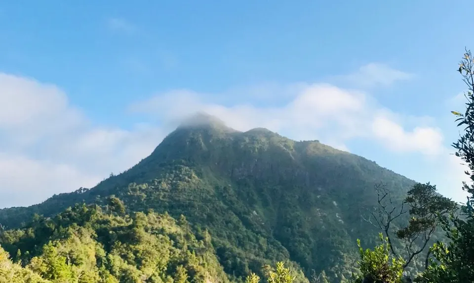
Kaitarakihi Summit
Last Updated: 26th Aug 2025
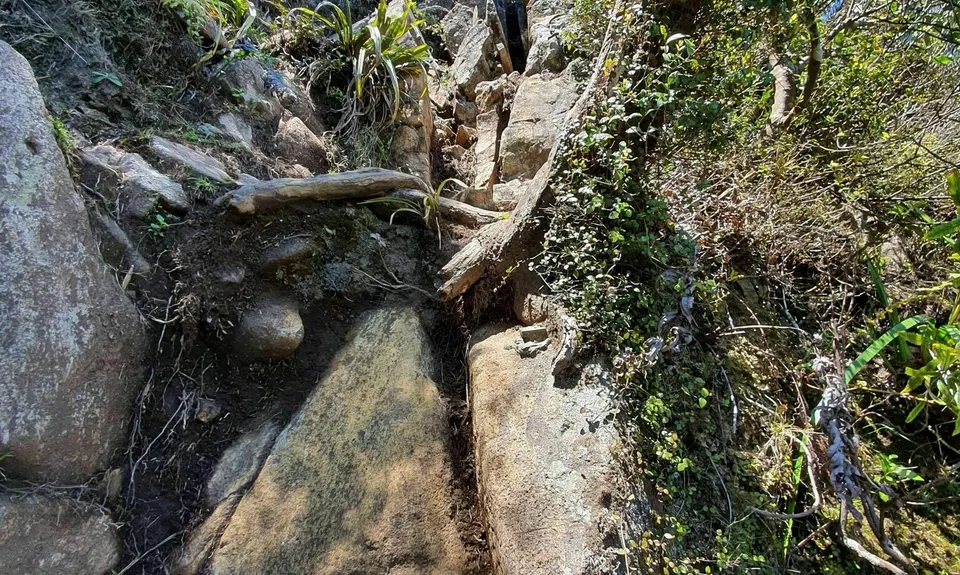
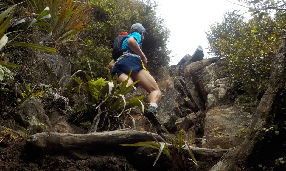
Grunt Factor: 20 ?
Gnarl Factor: 58 ?
10.0km
640m
640m
811m
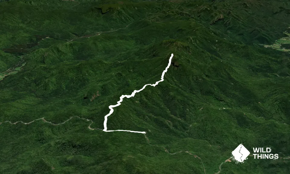
Trail Map
This Topo layer only covers NSW/ACT.
Switch to another map layer when viewing outside this area.
Switch to another map layer when viewing outside this area.