Last Updated: 21st Sep 2023
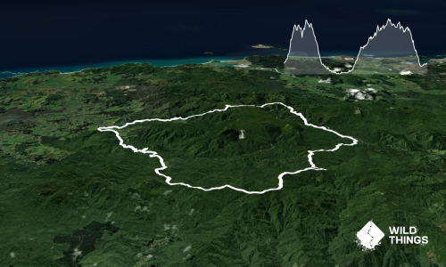
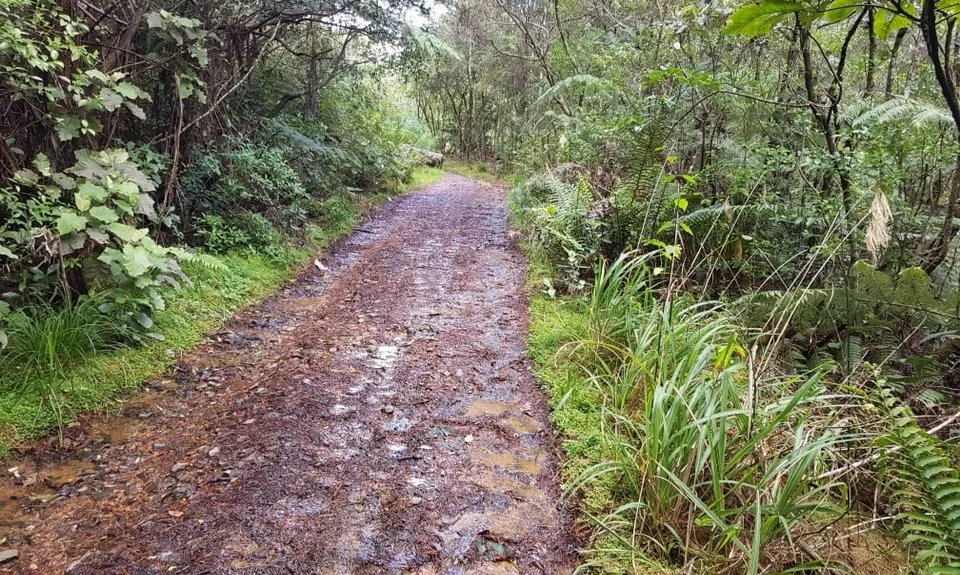
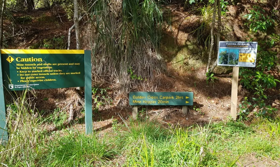
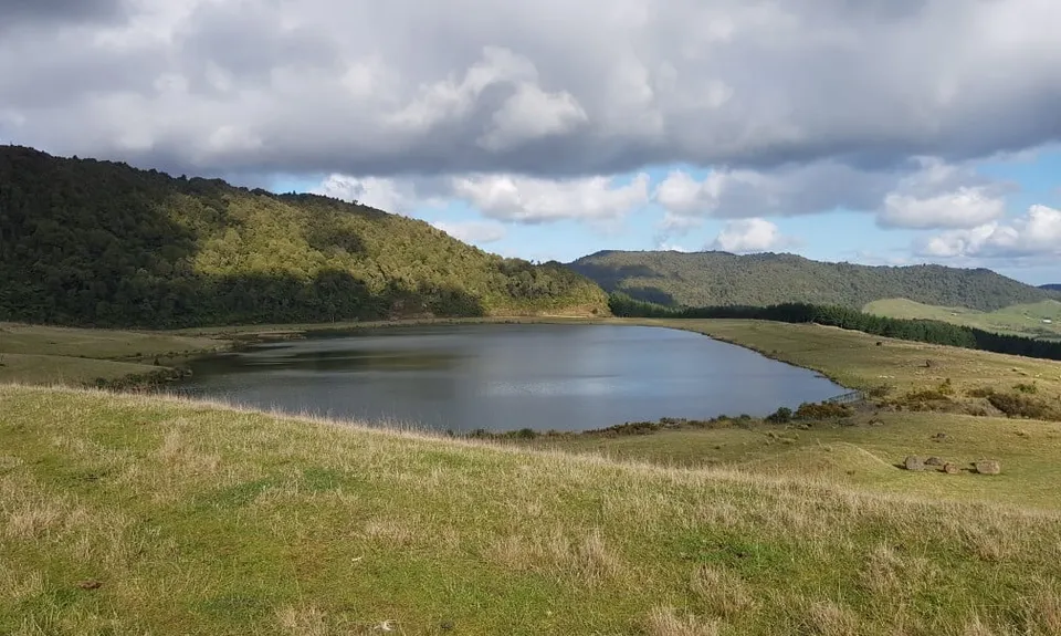
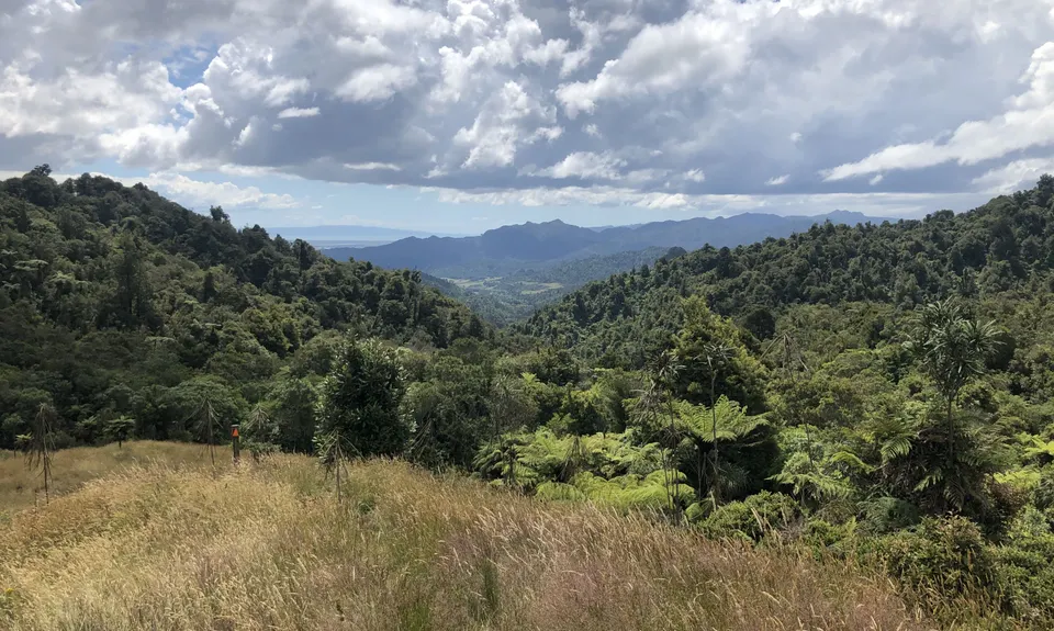
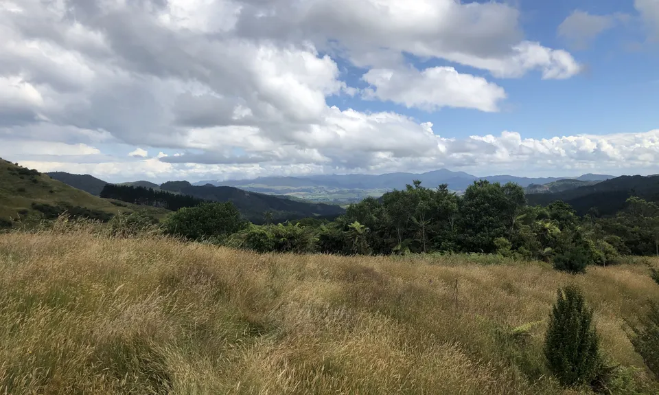
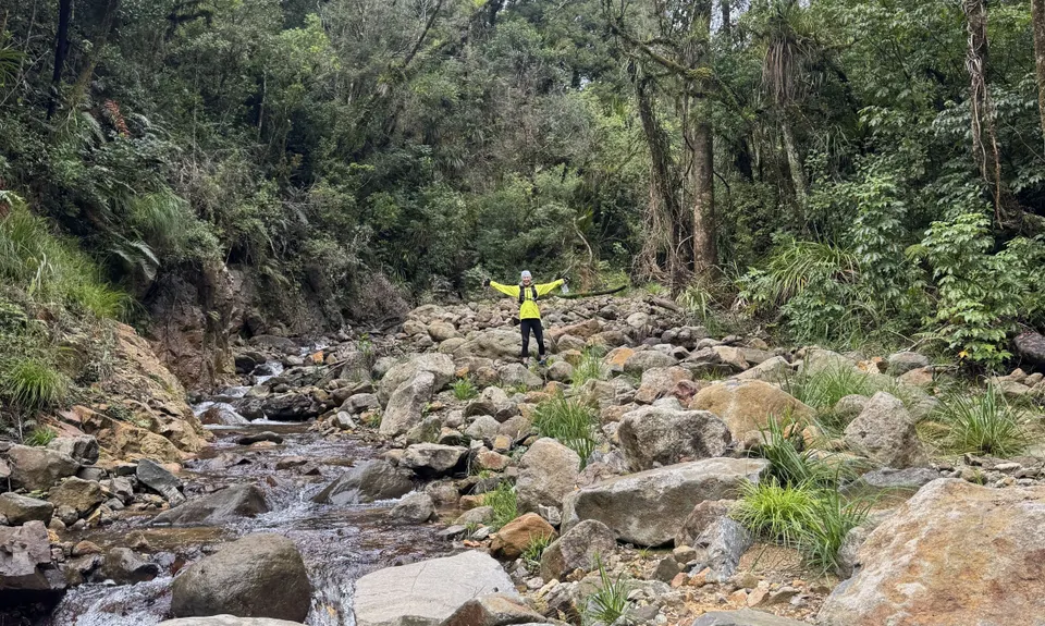
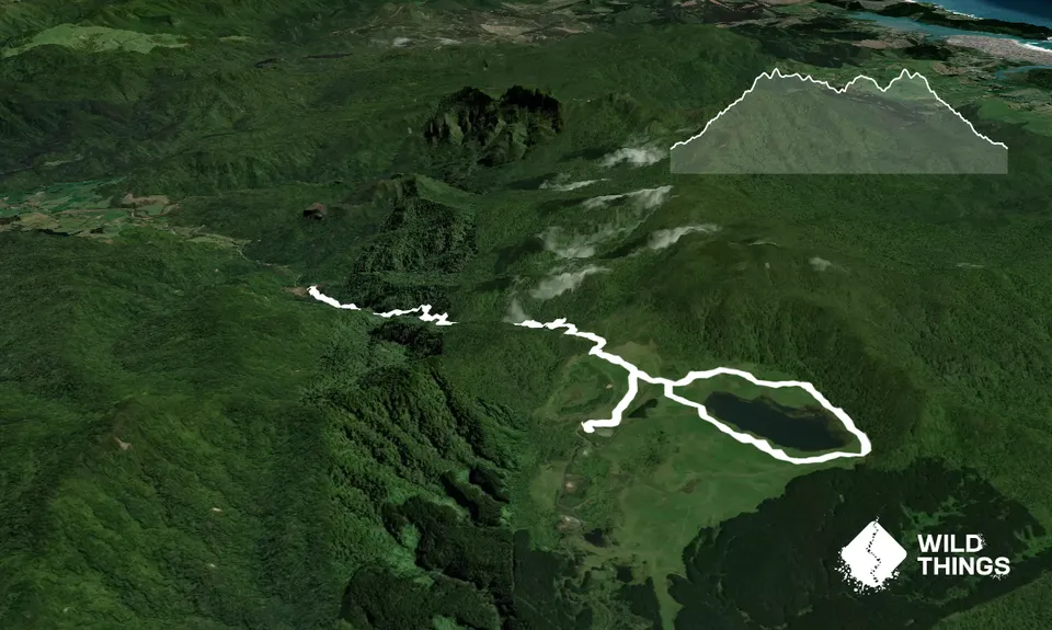
Maratoto To Golden Cross
Last Updated: 21st Sep 2023
Open
Grunt Factor: 18 ?
Gnarl Factor: 33 ?
12.2km
530m
530m
460m


Trail Map
This Topo layer only covers NSW/ACT.
Switch to another map layer when viewing outside this area.
Switch to another map layer when viewing outside this area.