Last Updated: 21st Sep 2023
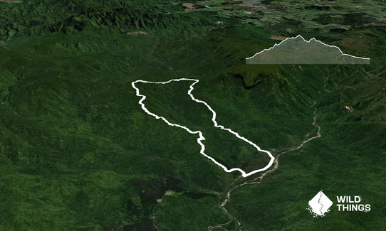
Booms Flat Waiora Circuit.
Last Updated: 21st Sep 2023
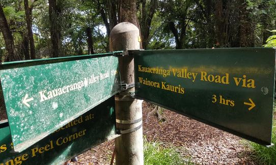
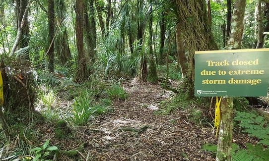
Closed More info
Grunt Factor: 22 ?
Gnarl Factor: 42 ?
12.9km
720m
720m
609m

Trail Map
This Topo layer only covers NSW/ACT.
Switch to another map layer when viewing outside this area.
Switch to another map layer when viewing outside this area.


