Last Updated: 2nd Sep 2025
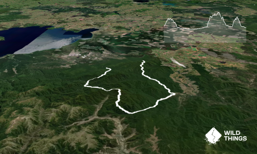
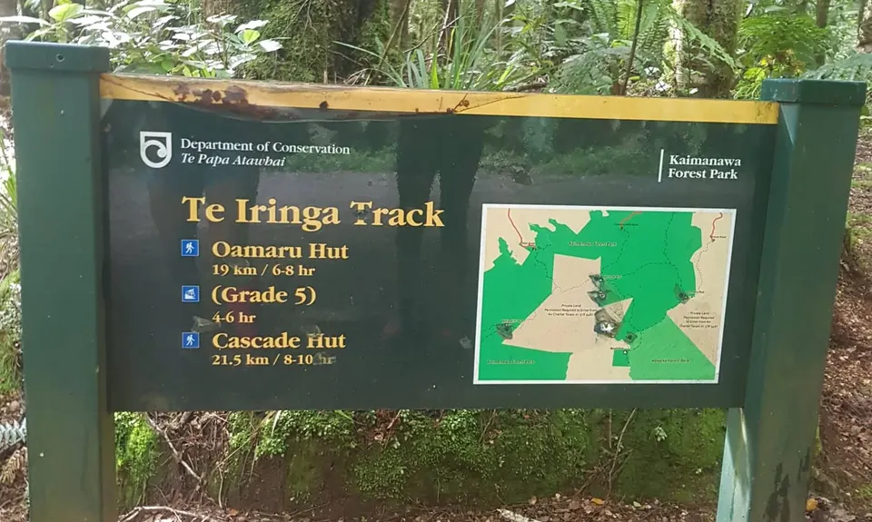
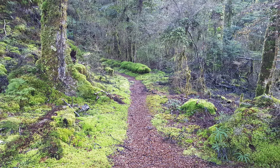
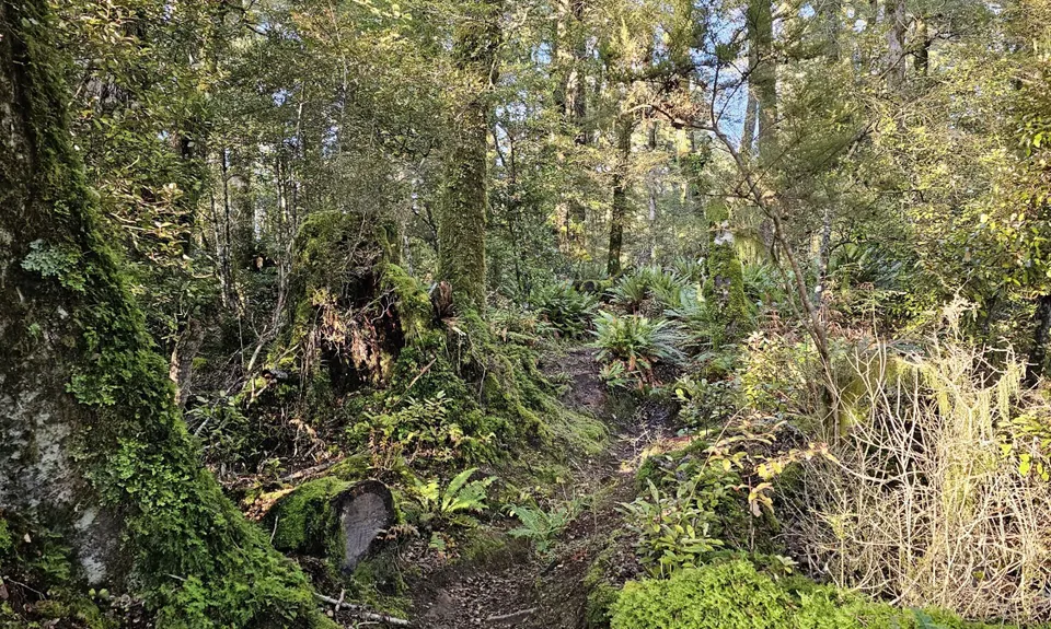
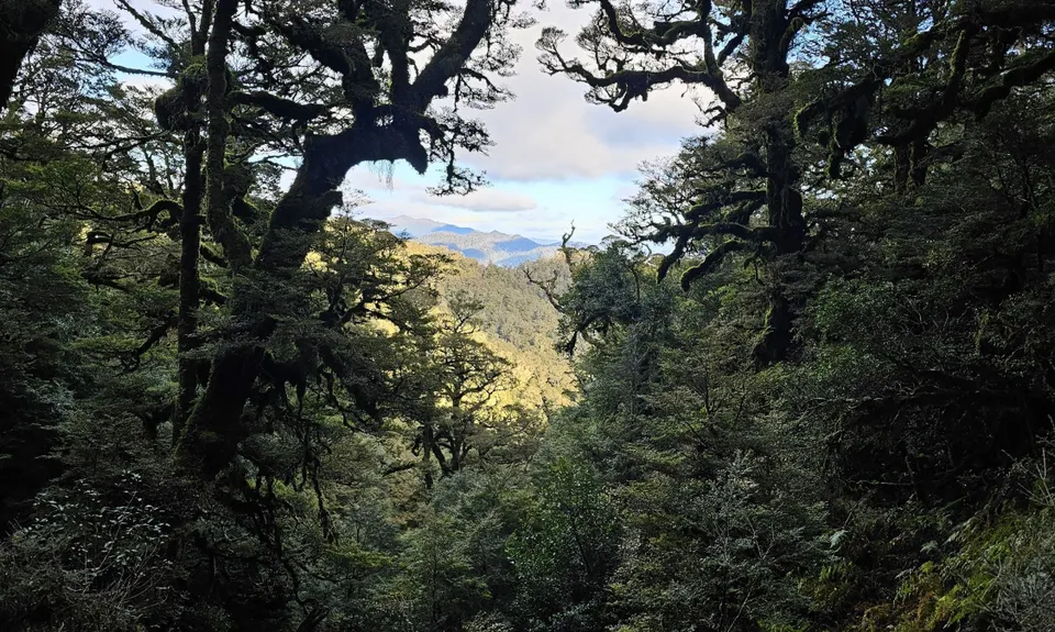
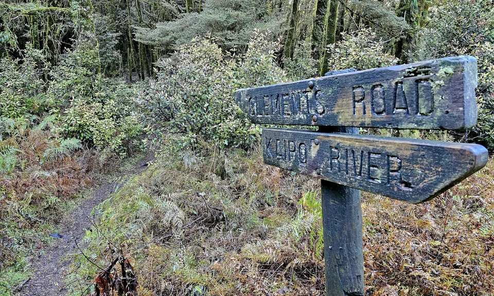
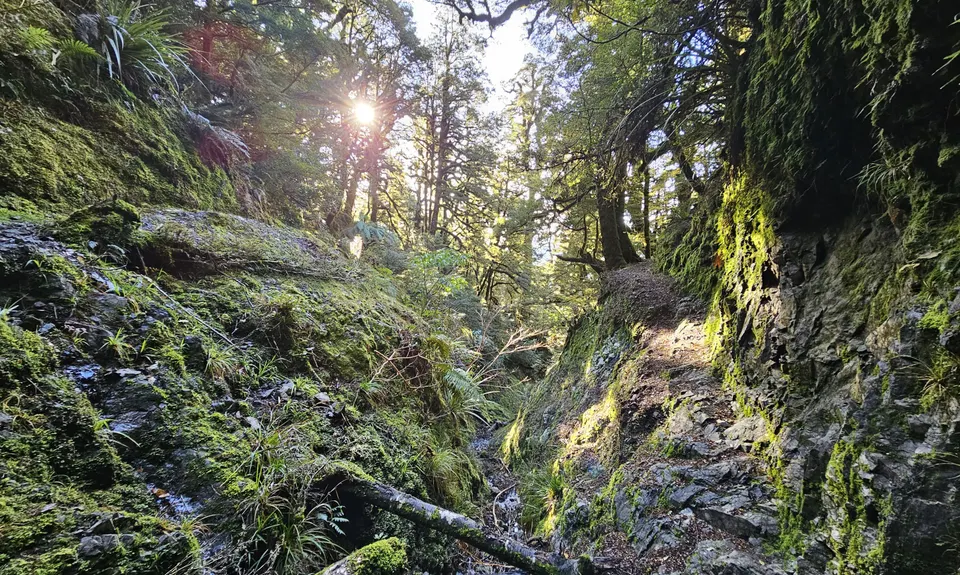
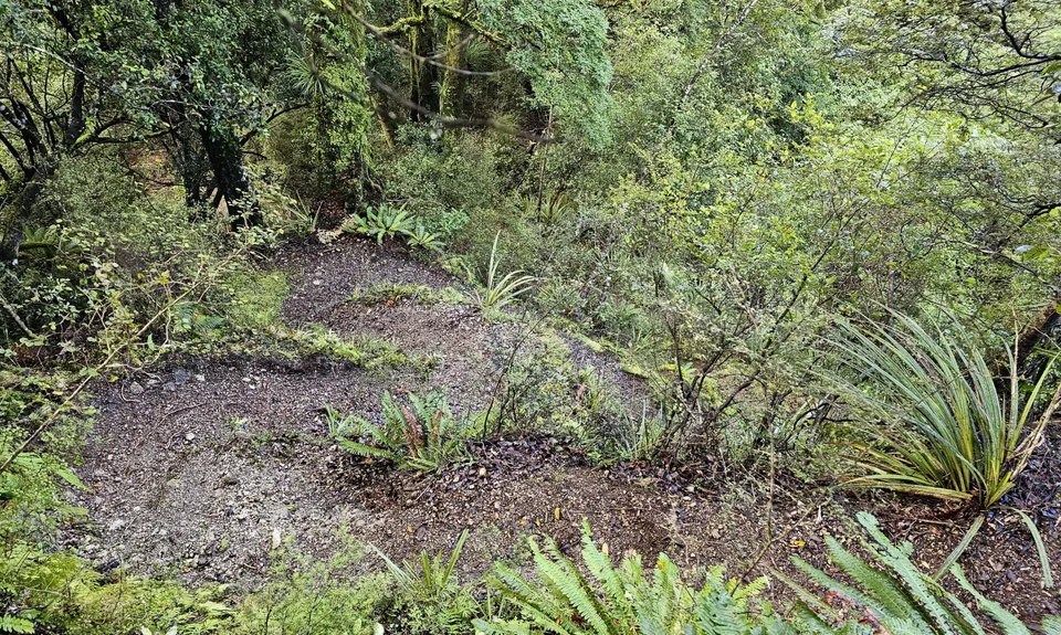
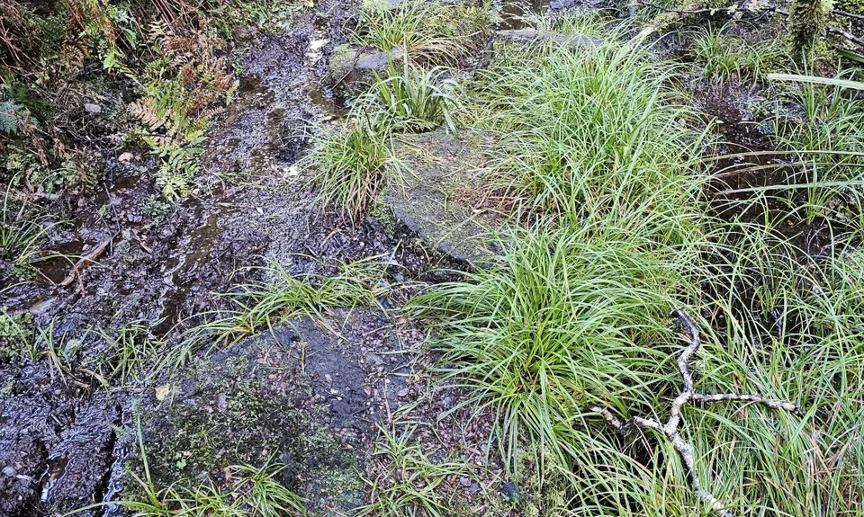
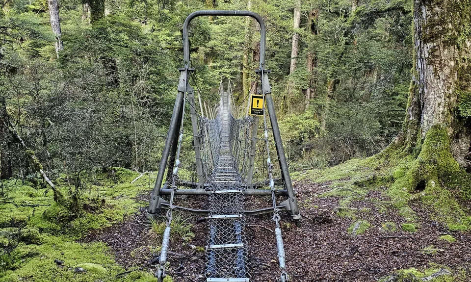
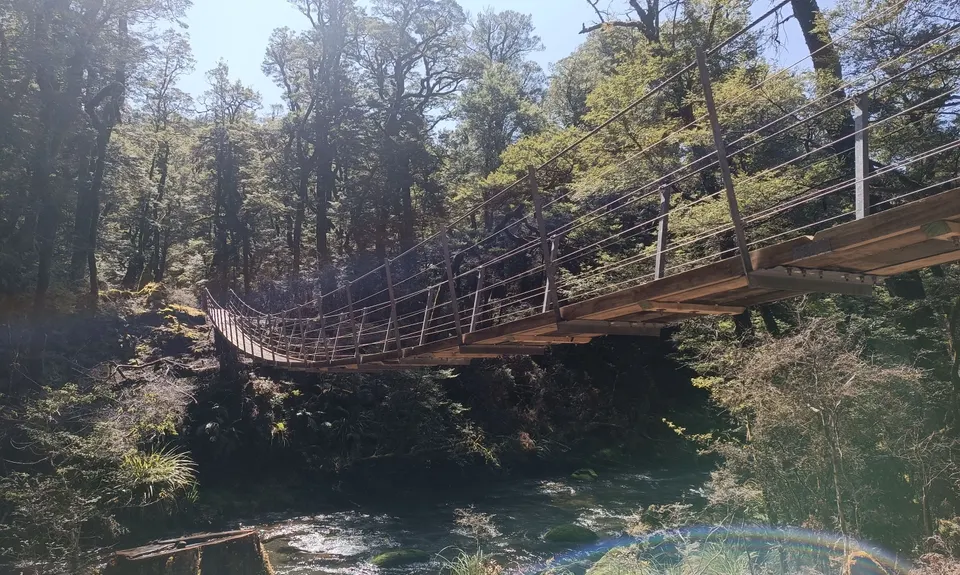
Te Iringa Track
Last Updated: 2nd Sep 2025
Open
Grunt Factor: 46 ?
Gnarl Factor: 69 ?
20.0km
1035m
1035m
1149m
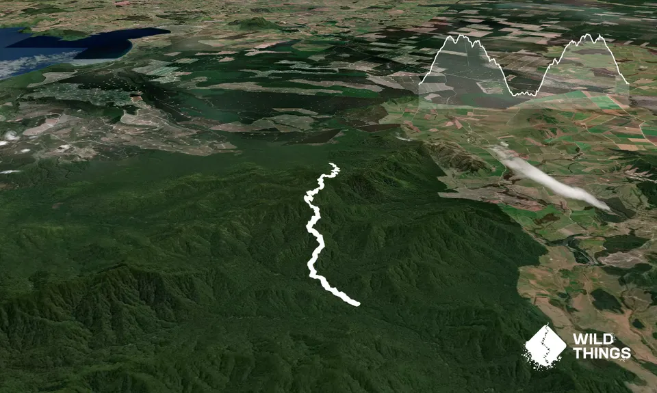
Trail Map
This Topo layer only covers NSW/ACT.
Switch to another map layer when viewing outside this area.
Switch to another map layer when viewing outside this area.