Last Updated: 11th Sep 2026

Intermediate - Experienced

Save Trail Save

I've done it Done

Lowburn to Deep Creek

Submitted by Kieran Philip

Last Updated: 11th Sep 2026

Intermediate - Experienced

Save Trail Save

I've done it Done

Open

Grunt Factor: 32 ?

Gnarl Factor: 29 ?

19.2km

1230m

1230m

1347m


Become a VIP to see driving directions, distance and time.

Trail Map

This Topo layer only covers NSW/ACT.
Switch to another map layer when viewing outside this area.

Type of Run

Front country - easily accessible

Out and Back

Mountainous

Open farmlands

Open tussock/grasslands

Open ridges/tops

Run Makeup

80%
5%
15%

Farm Road / 4WD Track

Moderate Single Track

Untracked / Route only

Average Uphill Gradient: +13.70%

Average Downhill Gradient: -13.70%

Garmin Course

VIP Feature: Send this route to your Garmin account so you can follow the course on your Garmin device.

Send to Garmin

Learn about sending to Garmin.

Trailhead

Become a VIP Member to see the trailhead information.

Estimated Times to Run

4:30

Slow

3:30

Moderate

2:30

Fast

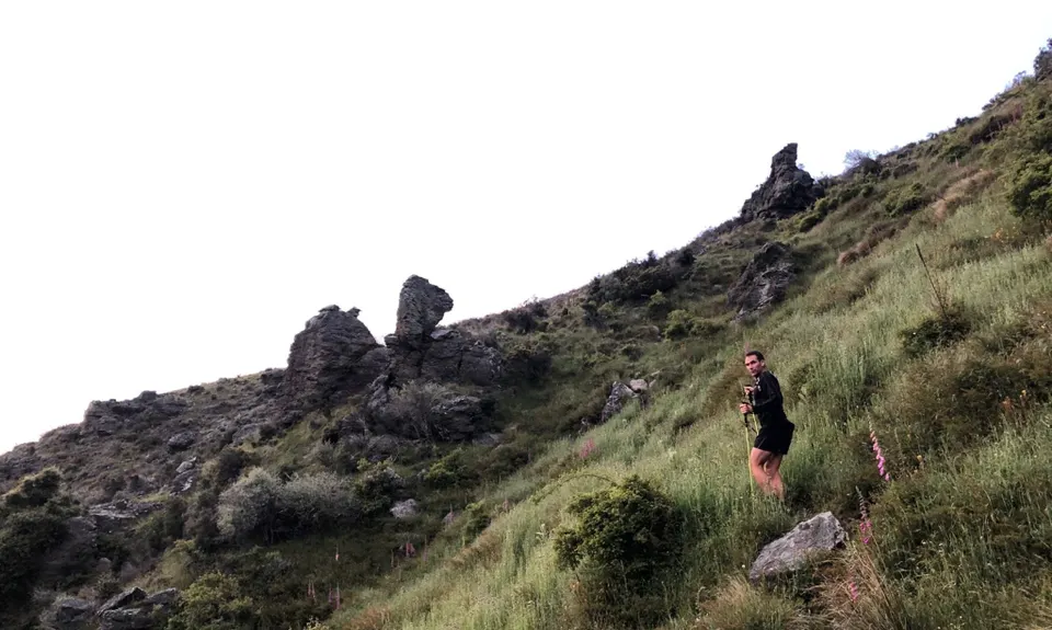
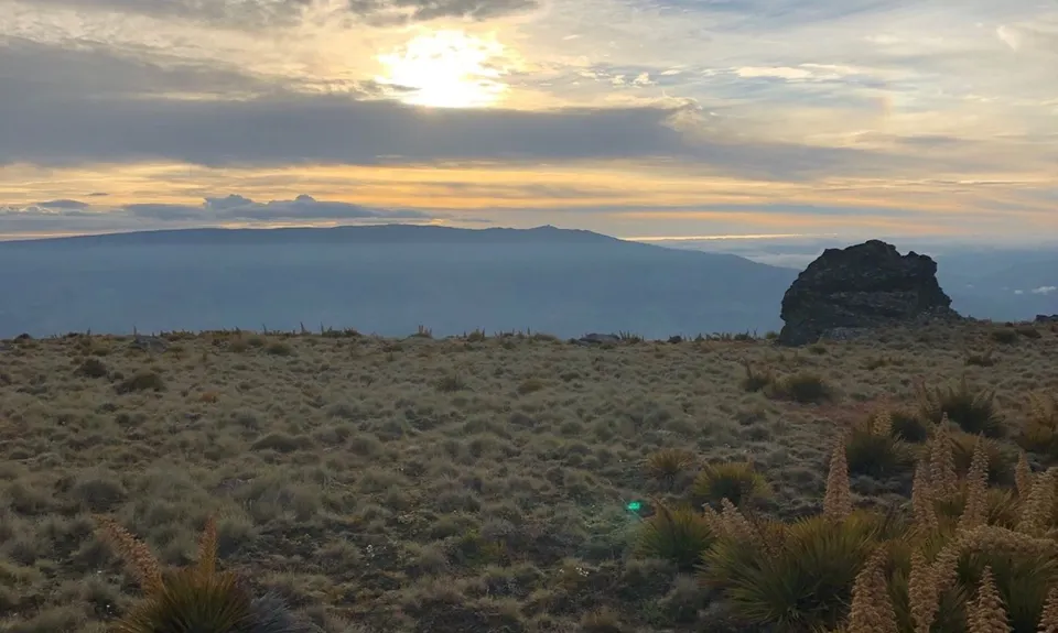
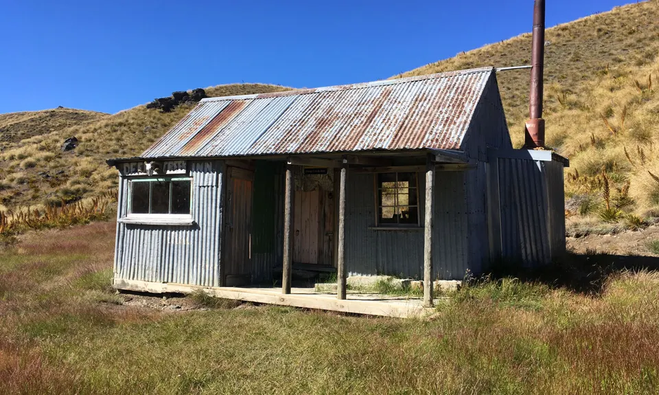
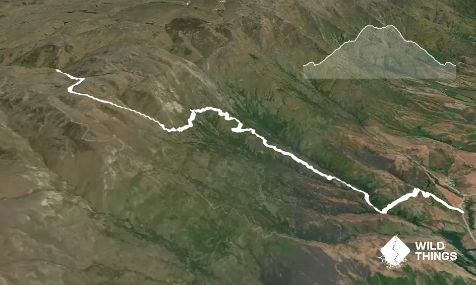
Starting at the road, follow the orange marker poles through the bottom paddocks. Head up the first wee hill via the farm track and then drop down to Low Burn via the poled route. Cross the creek and then take a right hand turn. Follow this farm track for the next 4ish kilometers. There is the occasional orange marker to keep you on route. The farm track then switches to some sweet single track as you sidle along the hillside. You will be heading along underneath and then around Castle Rock (not on topo, but looks like a castle). You are then following the poles/fence line up to the tops where you will meet the main Pisa Range 4WD track. Follow this and the markers heading left down to the Deep Creek Hut.

If you know of any public toilets near the trail start or on the route, please login and then let us know so we can update this section.

No dedicated parking spots. Park on road shoulder. Fairly secluded rural road.

9 km

9 minutes

Unknown

Yes
Name: Lowburn Station

Easy.

Generally good.

Waterproof leggings, Seam-sealed waterproof jacket, Beanie/thermal headwear, Whistle, First aid kit, Extra food for emergencies, Survival bag, Cellphone, Map

Some creeks which are fine to drink out of up on the hillside.

Very exposed, so rug up warm. Be prepared to turn back as can be particularly nasty up on top and can change quickly.

The information provided is a guide only. Conditions, access and hazards can change, so use your own judgement and check current local information before heading out. Make sure the route or location is suitable for your experience, fitness and equipment, and check any access restrictions or permissions that may apply.

Do you have a suggestion on where to go afterwards for the best coffee / cake / breakfast / brunch / beer?

You and Lowburn to Deep Creek

As a VIP member you can record private notes for this trail, see all of your times and more.

Become a Member

Already have an account? Login now

Trail Reviews

Be the first to submit a review for Lowburn to Deep Creek!

Login to submit a review

Trail Running Community

Find people who are interested in or have completed this trail run.

You must register or login to view this feature.

Register Now

Other trails nearby
Sugarloaf Loop

Sugarloaf Loop

Length: 9.0km

Level: Beginner

Distance Away: 4.0km

Pisa Moorings Meander

Pisa Moorings Meander

Length: 11.6km

Level: Beginner

Distance Away: 4.0km

Devils Creek Bendigo

Devils Creek Bendigo

Length: 15.0km

Level: Beginner - Intermediate

Distance Away: 5.5km

Mt Apiti via Castle Rock

Mt Apiti via Castle Rock

Length: 28.4km

Level: Intermediate

Distance Away: 5.5km

Find more trails and peaks nearby

Wild Things
Wild Things
Explore more

Plan smarter, stay motivated, track your progress, and unlock the full Wild Things experience — while saving along the way.