Last Updated: 12th Jun 2026
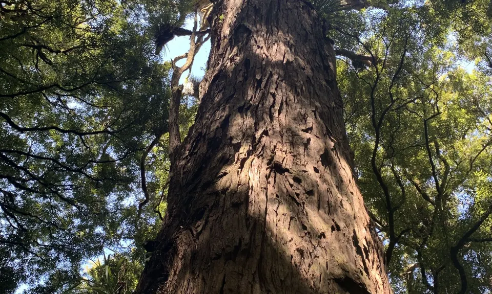
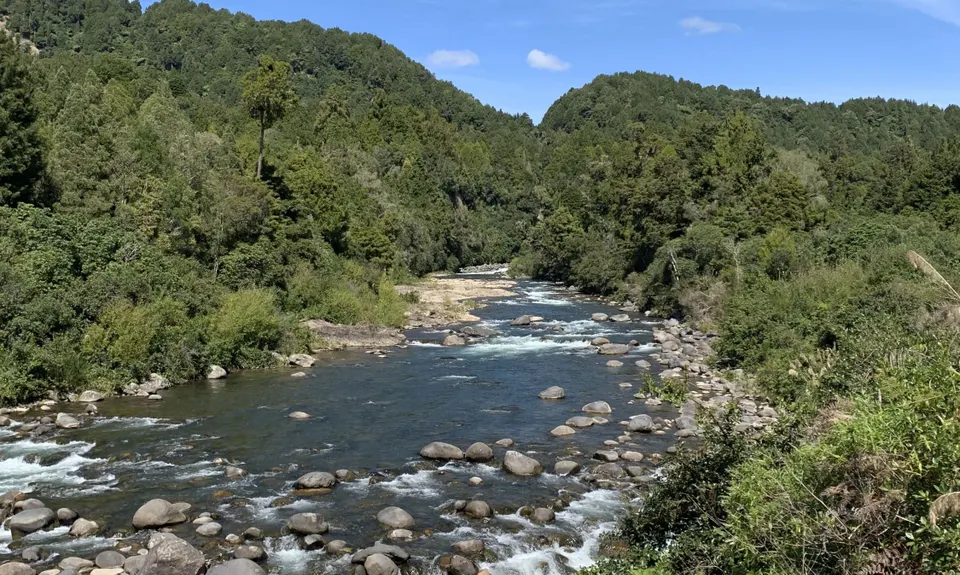
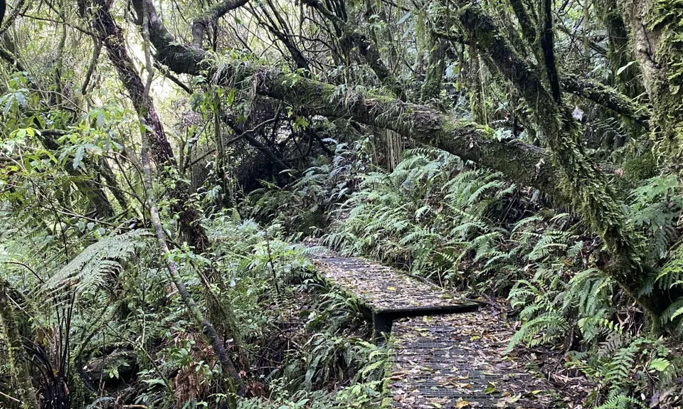
Ohinetonga Scenic Reserve - Owhango
Short & sweet but packing in a bit of everything.
Ohinetonga track
Last Updated: 12th Jun 2026
Grunt Factor: 7 ?
Gnarl Factor: 15 ?
4.8km
135m
135m
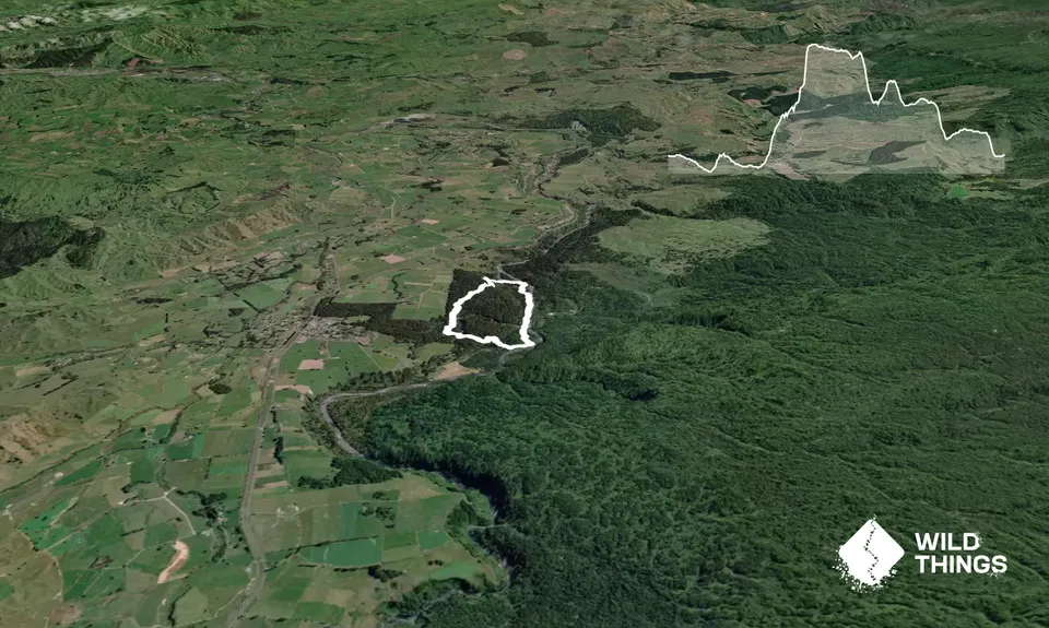
Trail Map
This Topo layer only covers NSW/ACT.
Switch to another map layer when viewing outside this area.
Switch to another map layer when viewing outside this area.


