Last Updated: 19th Feb 2026
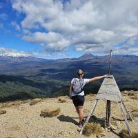
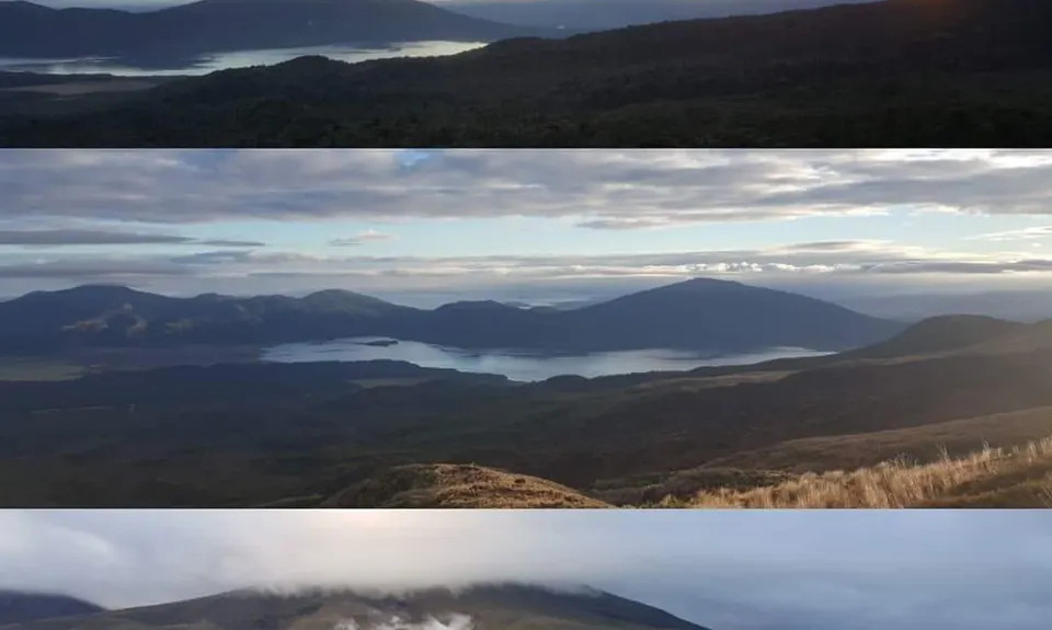
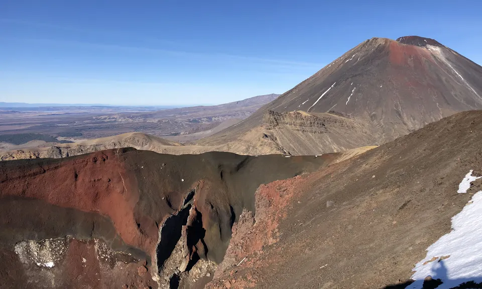
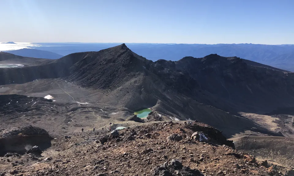
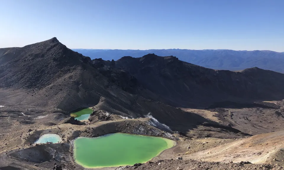
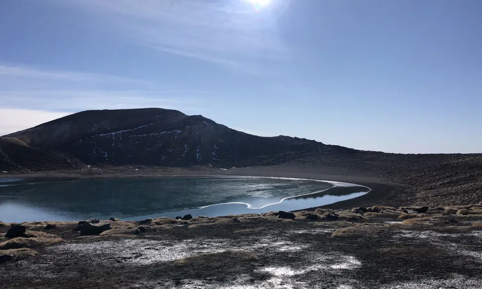
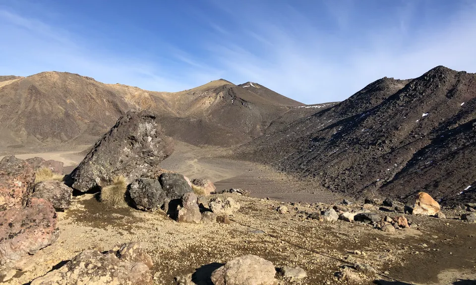
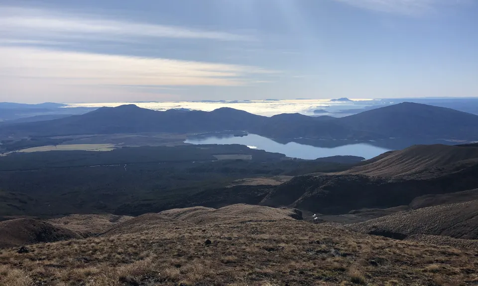
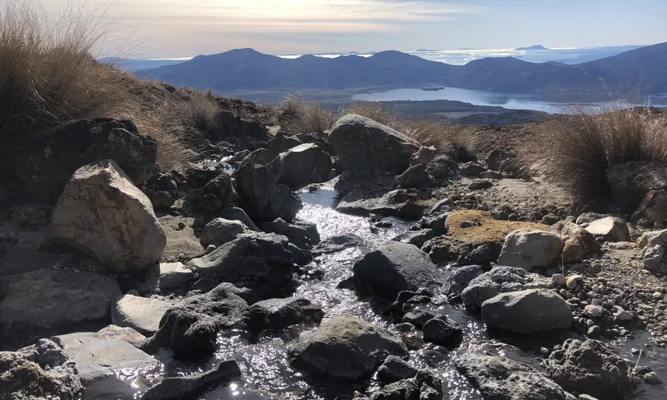
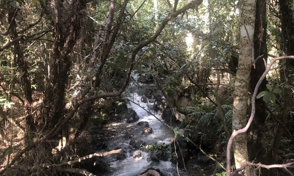
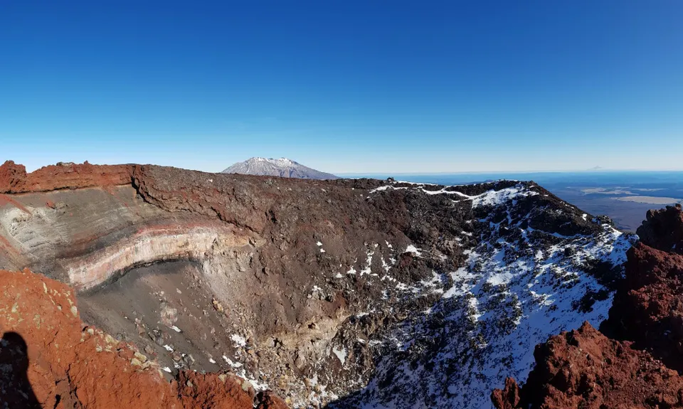
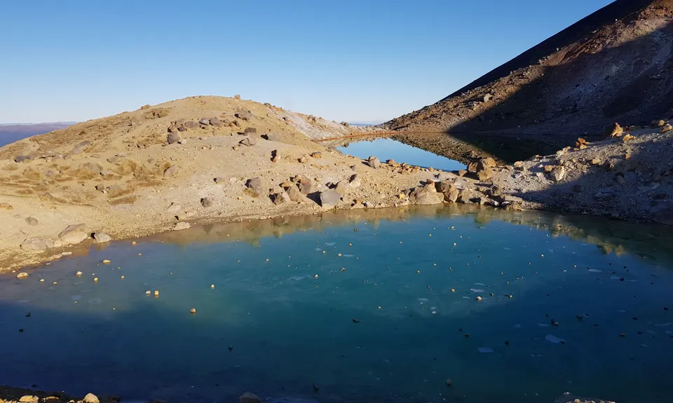
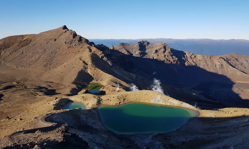
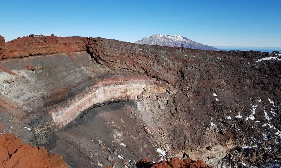
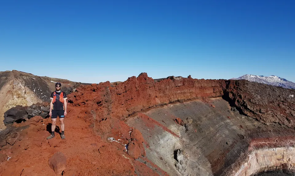
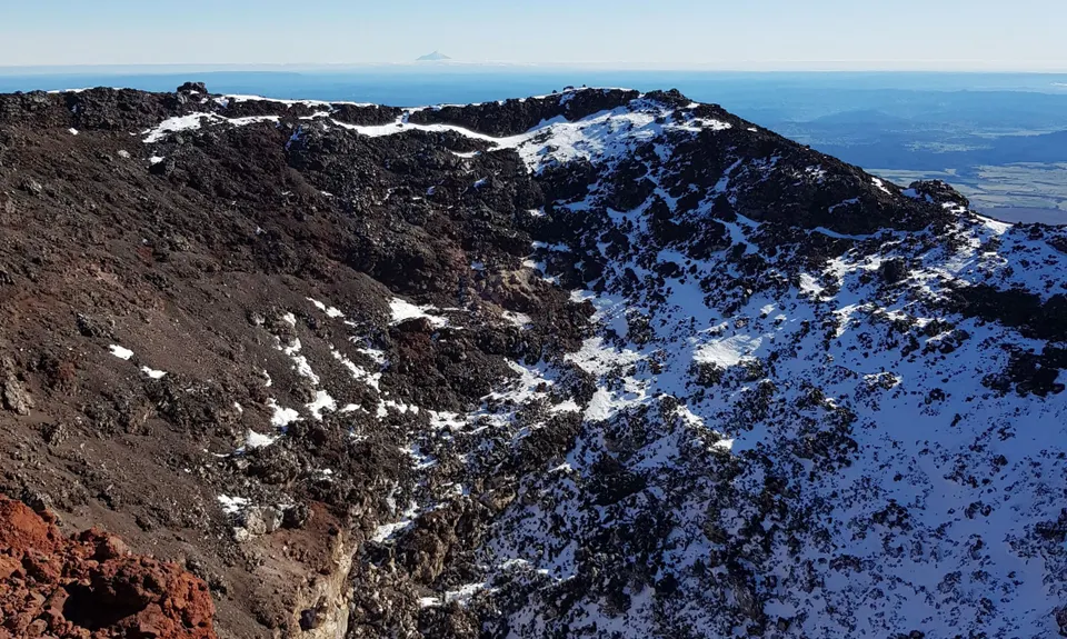
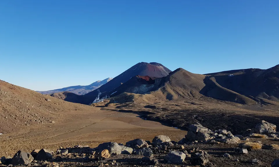
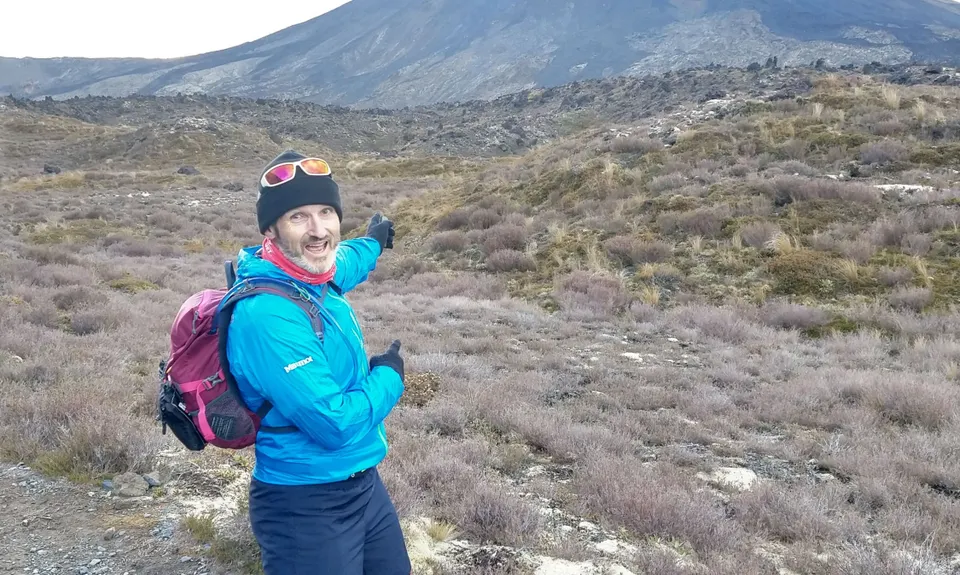
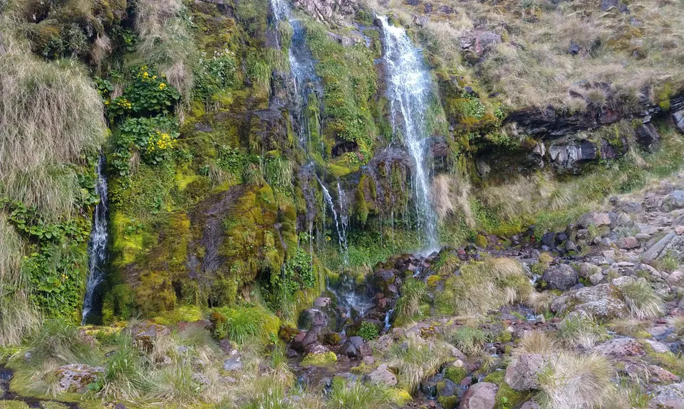
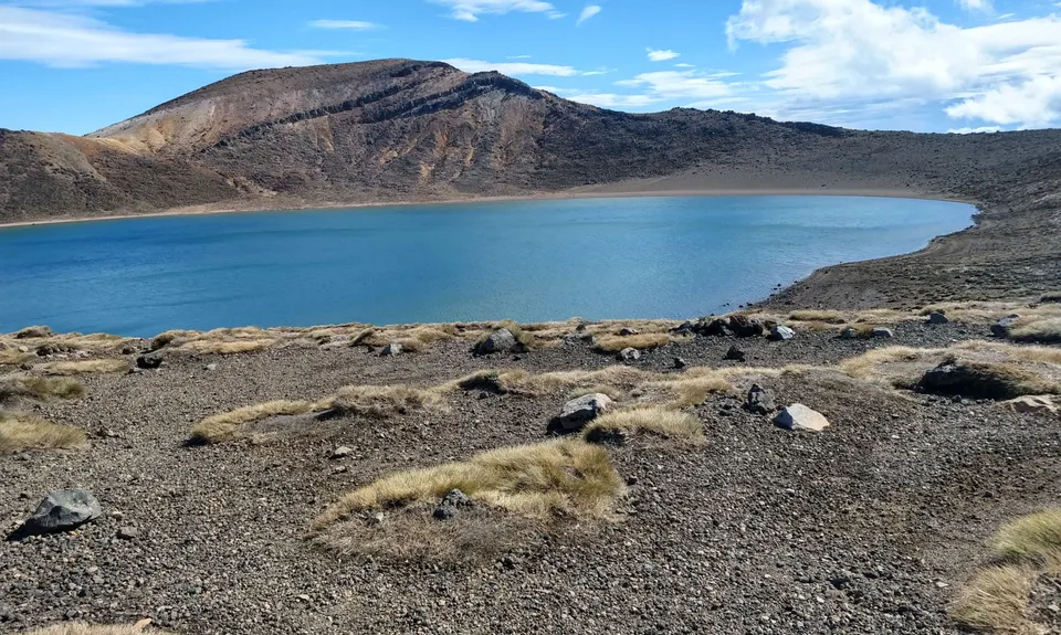
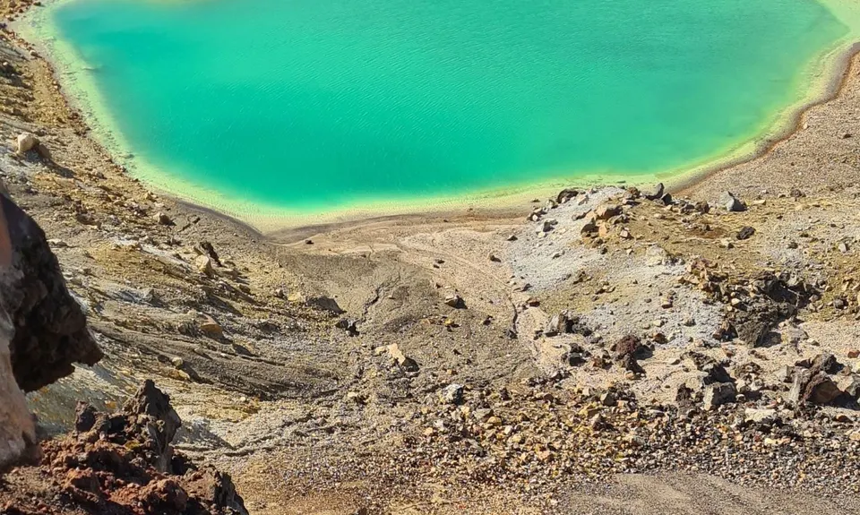
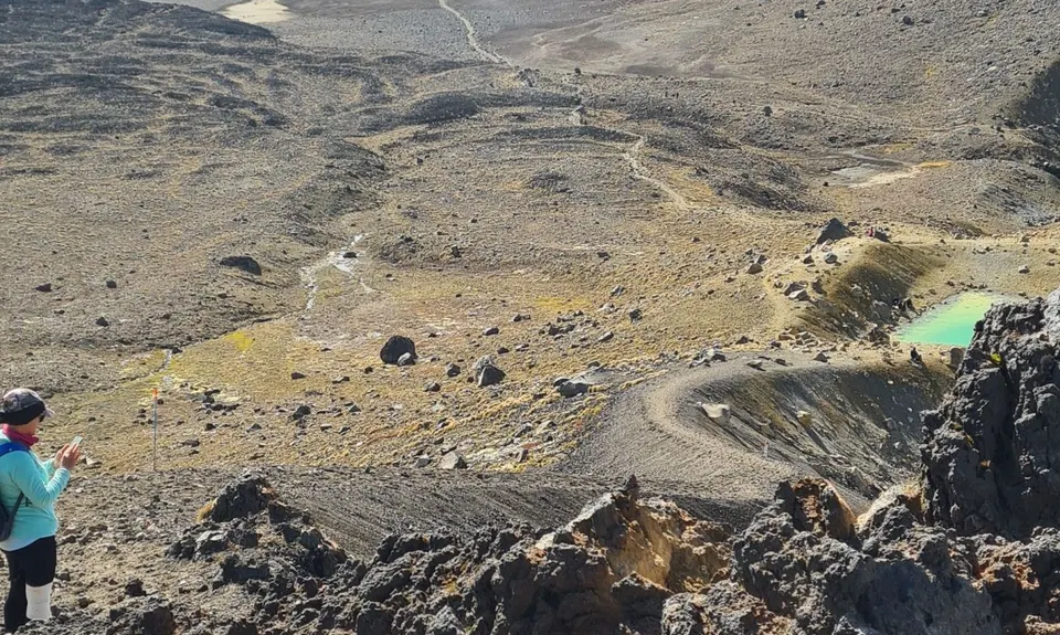
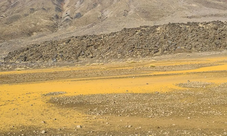
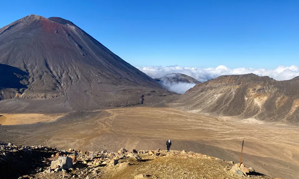
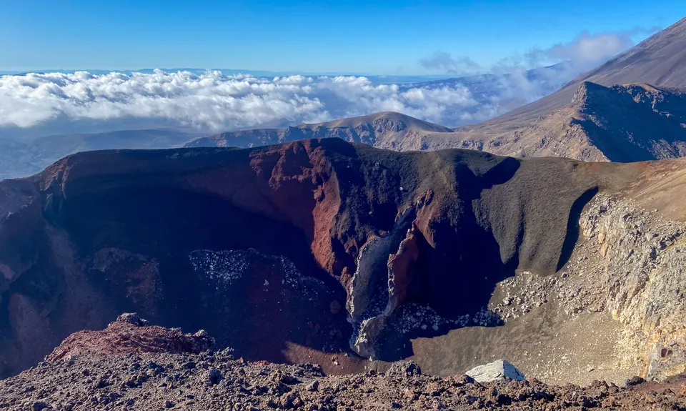
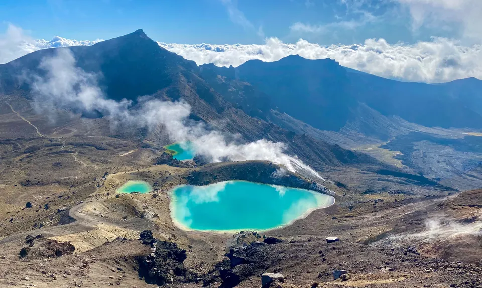
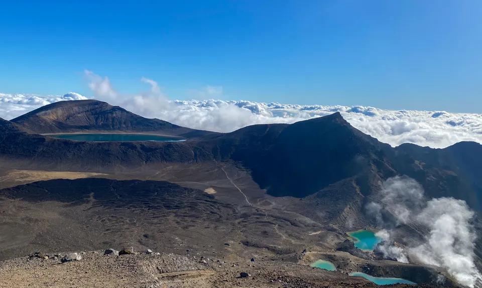
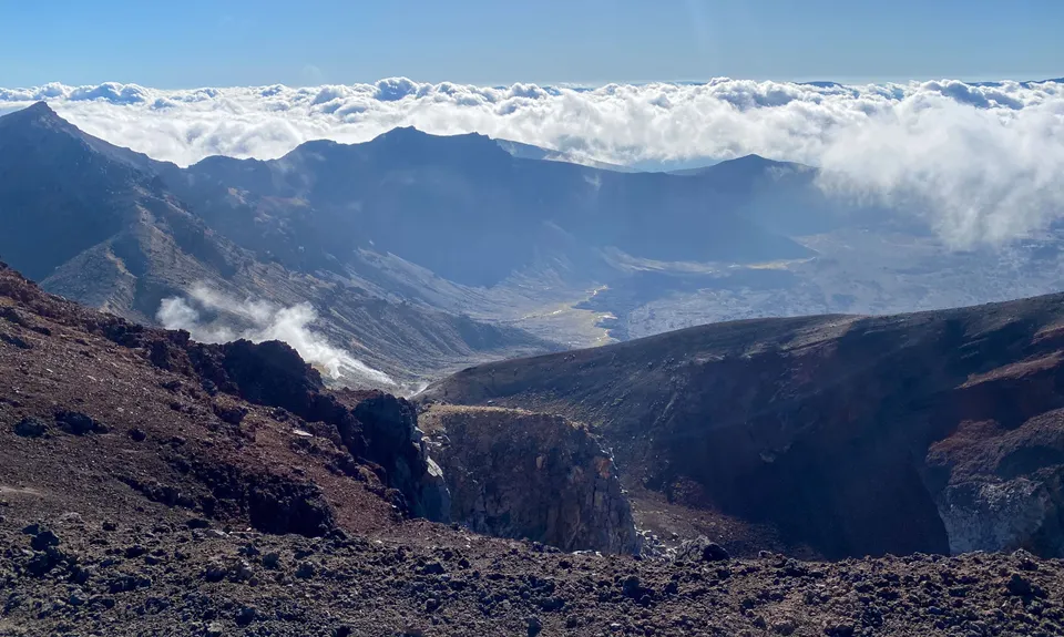
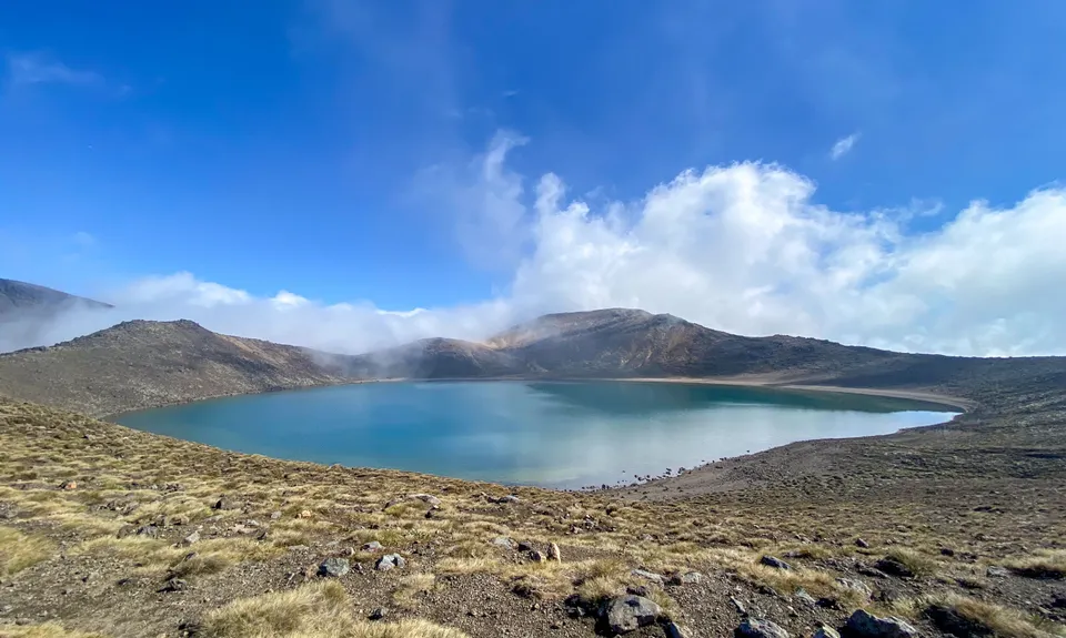
Tongariro Crossing
Last Updated: 19th Feb 2026
Open
Grunt Factor: 34 ?
Gnarl Factor: 38 ?
20.2km
1125m
785m
1886m

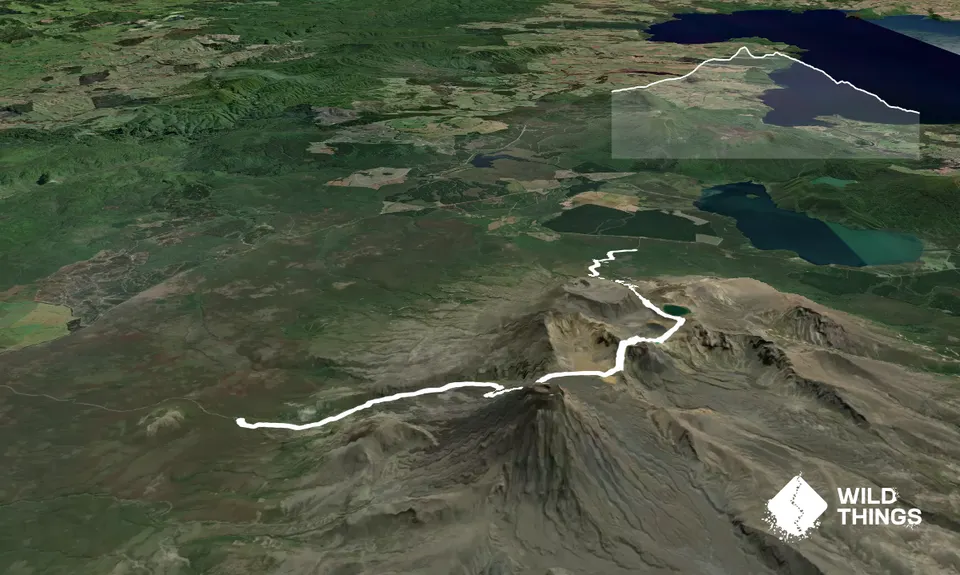
Trail Map
This Topo layer only covers NSW/ACT.
Switch to another map layer when viewing outside this area.
Switch to another map layer when viewing outside this area.