Last Updated: 6th May 2024
The Emily Escapade
Last Updated: 6th May 2024
Open
Grunt Factor: 27 ?
Gnarl Factor: 7 ?
32.2km
305m
525m
857m
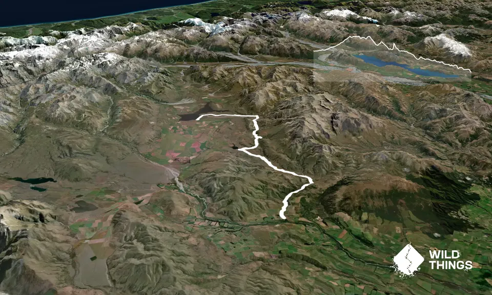
Trail Map
This Topo layer only covers NSW/ACT.
Switch to another map layer when viewing outside this area.
Switch to another map layer when viewing outside this area.


